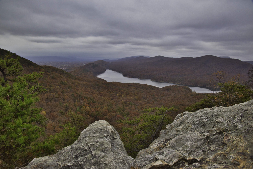
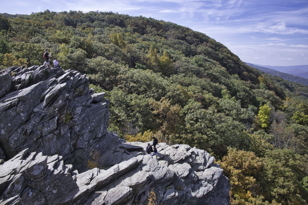
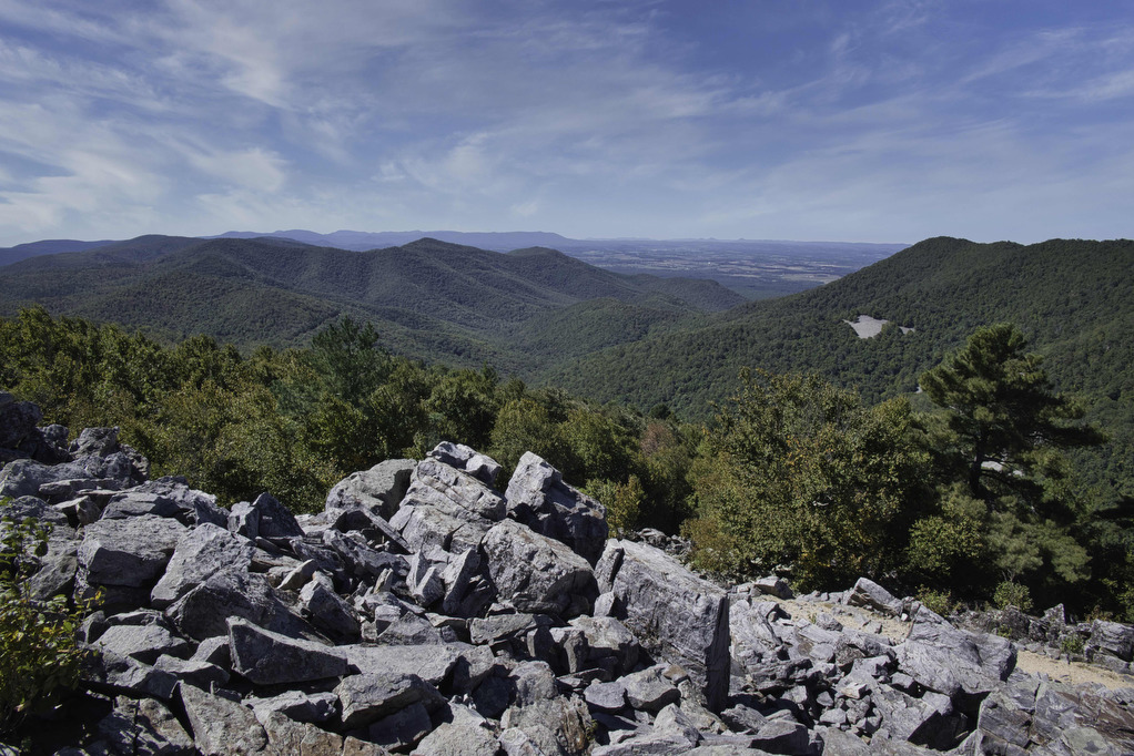
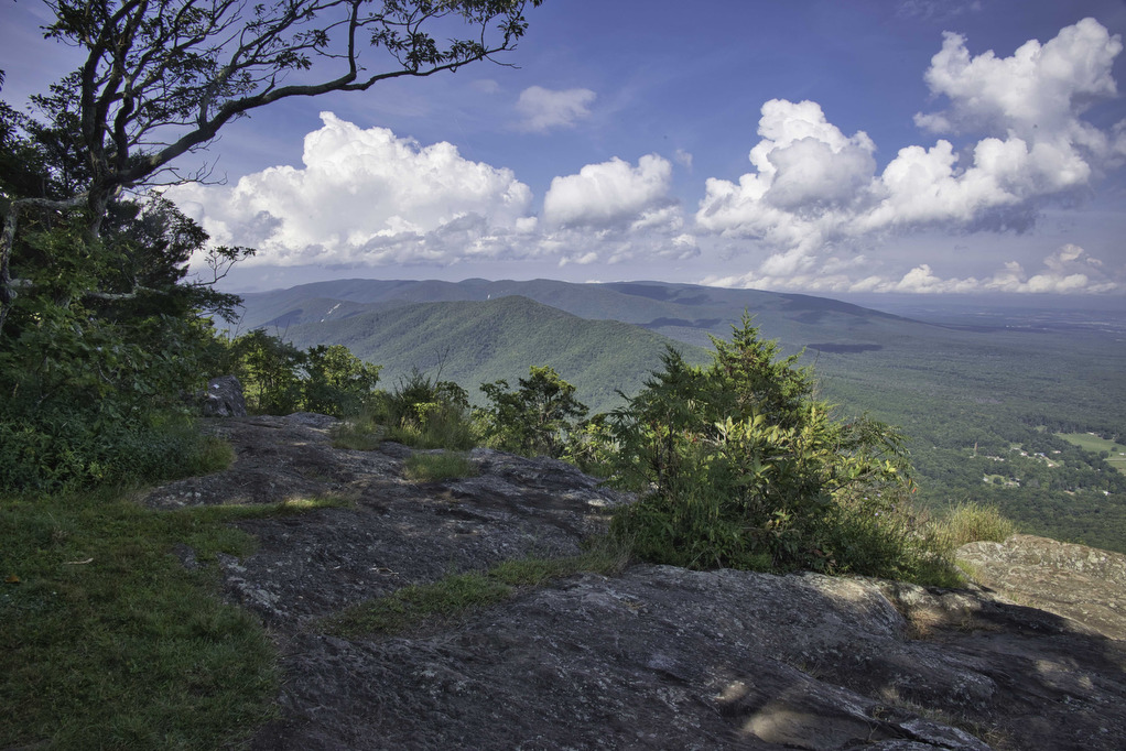
Appalachian Trail

Hightop Mountain

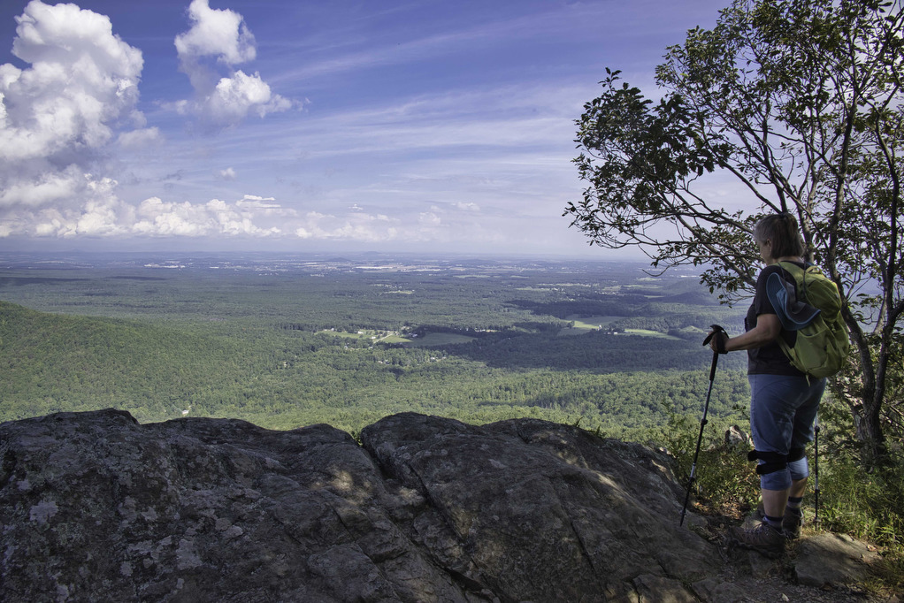
The Hike: Hightop Mountain (3,587’) is the highest peak in Shenandoah’s South District. The summit can be reached either from the south or the north via the Appalachian Trail. The most popular climb to Hightop Summit is a 3-mile out and back hike which scales the northern side of the mountain. From the Hightop Parking […]

Hightop Mountain Read More »

Sulphur Springs Loop

The Hike: From the trailhead on Petites Gap Road, we elected to hike counterclockwise leaving the 2.8 mile section of gravel road for the end. From the parking area, follow the white-blazed Appalachian Trail northbound. The climb begins immediately and the trail gains nearly 700’ in elevation over the first mile.  We hiked in early

Sulphur Springs Loop Read More »

Carvins Cove & Hay Rock

The Hike: This hike on the Appalachian Trail has great views of Carvins Cove Reservoir and and Hay Rock. The trail is well marked and well maintained thanks to the volunteers with the Roanoke Appalachian Trail Club. A short .2 mile unmarked trail leads from the parking area to the AT. This trail is located

Carvins Cove & Hay Rock Read More »

Humpback Mountain & Humpback Rocks

Highlights: Great views, Appalachian Trail Distance: 10.2 miles out and back Elevation Change 2,112 feet Trail Surface: Dirt with rocky sections Difficulty Level: Strenuous (distance, elevation gain, rocky sections) Trailhead Parking: Humpback Rocks Picnic Area parking area, Blue Ridge Parkway MP 8.5 Website: National Park Service and AllTrails Beer Pairings: Blue Mountain Brewery—Bumper Crop IPA

Humpback Mountain & Humpback Rocks Read More »

Browns Gap to Blackrock Summit

Highlights: Great views, Appalachian Trail Distance: 5.4 miles out and back Elevation Change 646 feet Trail Surface: Dirt with rocky sections Difficulty Level: Moderate (distance, rocky sections) Trailhead Parking: Brown’s Gap parking area, Skyline Drive MP 83 Website: AllTrails and Shenandoah National Park Beer Pairings: Champion Brewing Ice House—Hatchback Lyfe IPA & Festbier The Hike:

Browns Gap to Blackrock Summit Read More »

Thunder Ridge to Apple Orchard Mountain

Highlights: Great views, the Guillotine, Appalachian Trail Distance: 5.4 miles out and back Elevation Change: 948 feet Trail Surface: Dirt with rocky sections Difficulty Level: Moderate (distance, rocky sections) Trailhead Parking: Thunder Ridge parking area, Blue Ridge Parkway MP 74.7 Website: AllTrails Beer Pairings: Loose Shoe Brewing Co.—Apprentice Brown Ale & Alpha Mare IPA The

Thunder Ridge to Apple Orchard Mountain Read More »

Dripping Rock to Cedar Cliffs AT

Highlights: Great views, Appalachian Trail Distance: 2.3 miles out and back Elevation Change: 245 feet Trail Surface: Dirt with rocky sections Difficulty Level: Easy (rocky sections) Trailhead Parking: Dripping Rock, Blue Ridge Parkway MP 9.6 Website: AllTrails https://www.alltrails.com/explore/trail/us/virginia/dripping-rock-south-via-appalachian-trail Beer Pairings: Stable Craft Brewing—Shenny Doah Pilsner & Robot Cowboy Hazy IPA The Hike: This short hike

Dripping Rock to Cedar Cliffs AT Read More »

Reeds Gap to Dripping Rock AT

Highlights: Great views, Cedar Cliffs, Appalachian Trail Distance: 9.6 miles out and back Elevation Change: 831 feet Trail Surface: Dirt with rocky sections Difficulty Level: Moderate/strenuous (distance, rocky sections) Trailhead Parking: Reeds Gap, Blue Ridge Parkway MP 13.7 Website: Virginia Trail Guide Beer Pairings: Skipping Rock Beer Co.—Roasted Pecan Brown Ale & Bru-1 IPA The

Reeds Gap to Dripping Rock AT Read More »

Rice Fields AT Shelter

Highlights: Mountain meadow, AT shelter, great views Distance: 5.2 miles out and back Elevation Change: 1,259 feet Trail Surface: Rocky Difficulty Level: Moderate (rocky surface, elevation gain) Trailhead Parking: From Blacksburg US 460 west, turn left on Route 641, in 1.5 miles turn left on to Pocahontas Road. In 150 yards reach the AT crossing

Rice Fields AT Shelter Read More »