Distance

Stone Mountain Loop

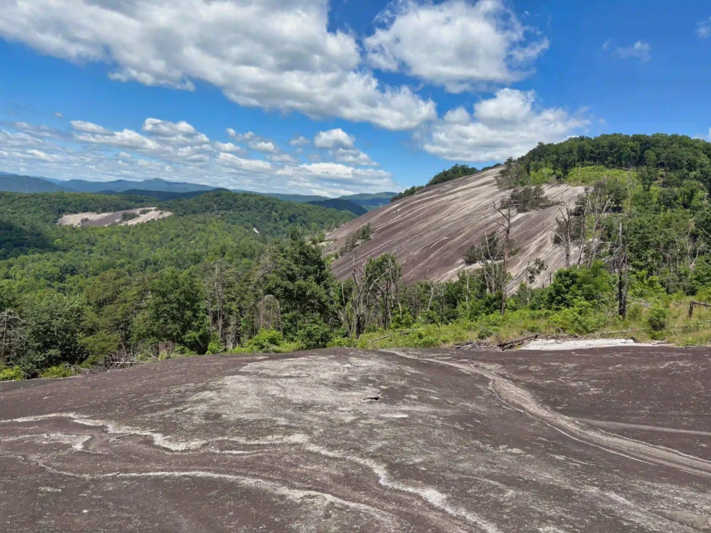
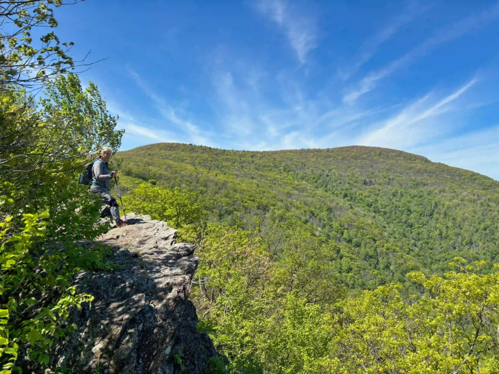
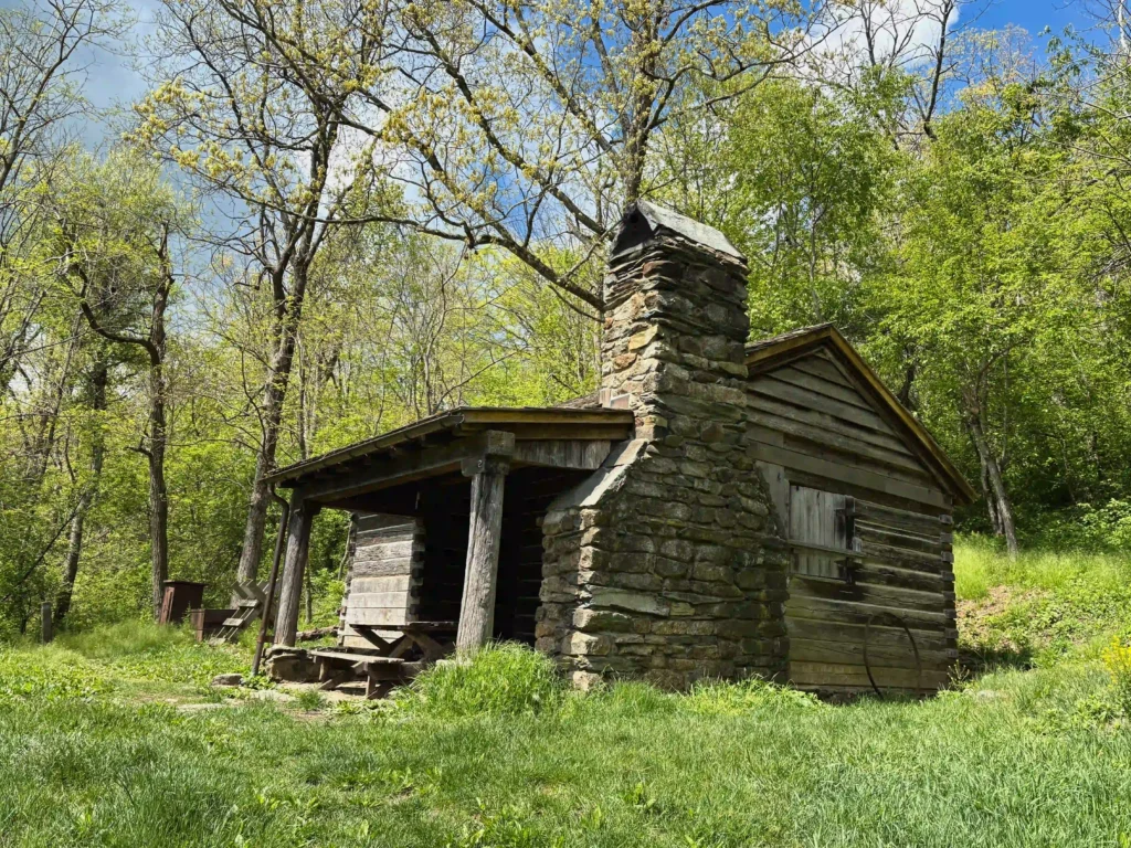
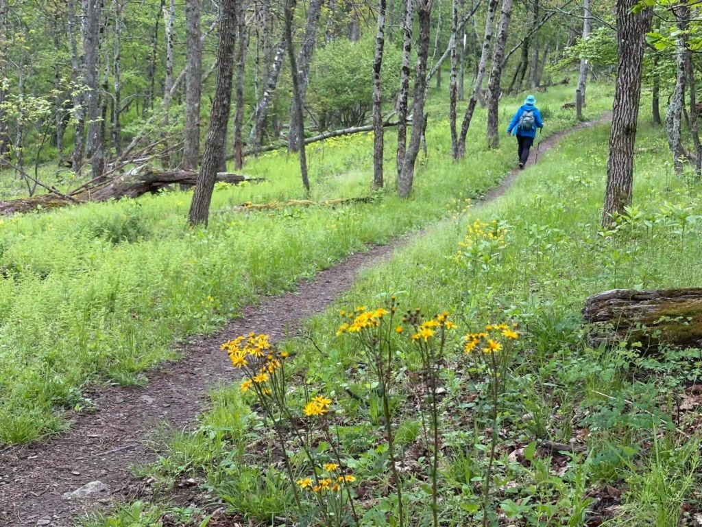
Trail Map: The Hike: This hike checks all the boxes: waterfall, great views, rocky summit, historic homestead, wildflowers. If you only have time for one hike, make it this one. Yes, there are a lot of steps. We didn’t count them, but there are several hundred steps. We hiked the loop clockwise visiting the water […]

Stone Mountain Loop Read More »

Inn to Inn Hike in Shenandoah NP

The Appalachian Trail passes through 105 miles of Shenandoah National Park. The park offers a variety of lodging options clustered within 35 miles. With a little advance planning it is possible to hike this 35 mile section of the AT, sleep in a warm bed each night, and enjoy breakfast, lunch and dinner throughout the

Inn to Inn Hike in Shenandoah NP Read More »

Shenandoah Inn to Inn: Day 1

Trail Map: The Hike: The first day of our inn to inn hike on the AT in Shenandoah National Park begins at Swift Run Gap and US Route 33. See the logistics post for details on shuttle services and vehicle parking. The AT crosses US 33 on Skyline Drive and then veers into the forest

Shenandoah Inn to Inn: Day 1 Read More »

Shenandoah Inn to Inn: Day 2

Trail Map: The Hike: Day 2 of our inn to inn hike on the AT in Shenandoah National Park begins at Lewis Mountain Cabins. The connector trail to the AT is just past the campground. Turn left and follow the white blazes north on the AT. This section of the AT had the most wildflowers.

Shenandoah Inn to Inn: Day 2 Read More »

Shenandoah Inn to Inn: Day 3

Trail Map: The Hike: Day 3 of our inn to inn hike on the AT in Shenandoah National Park begins at Big Meadows. We arrived at Big Meadows the day before in clouds, rain, and fog and the views from Blackrock were non-existent. We decided to start day 3 with a great view. We followed

Shenandoah Inn to Inn: Day 3 Read More »

Shenandoah Inn to Inn: Day 4

Trail Map: The Hike: This last leg of the four day inn to inn hike in Shenandoah National Park may have the best views. Follow the white-blazed Appalachian Trail north from Skyland Lodge. The AT soon reaches the Stony Man Trail where a .8 mile loop climbs to the summit. The views from Stony Man

Shenandoah Inn to Inn: Day 4 Read More »

AT: Audie Murphy Monument

Trail Map: The Hike: This hike on the Appalachian Trail to the Audie Murphy Monument approaches from the north. The monument can also be reached on the AT from the south. Both routes are about 8 miles with similar elevation gains. Hiking southbound on the AT has a longer section on the ridge. From the

AT: Audie Murphy Monument Read More »

Buzzard Rock at Read Mountain

Trail Map: The Hike: This hike to Buzzard Rock has some of the best views in the Roanoke area. Read Mountain is the long, undeveloped ridge looming above the Roanoke Valley. The park lands, protected by a conservation easement, were donated to Roanoke County and the hiking trails were built by volunteers. The 243-acre park

Buzzard Rock at Read Mountain Read More »

Turtle Island Loop

Trail Map: The Hike: We have received a few emails requesting shorter, easier hikes. This hike loops through a hardwood forest where interpretive signs tell how the forest changes and adapts throughout time. A footbridge leads to Turtle Island with some nice lake and mountain views. The trail returns back to the parking area. Directly

Turtle Island Loop Read More »