Long > 6 Miles

Apple Orchard Falls & Cornelius Creek Loop

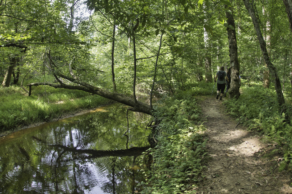
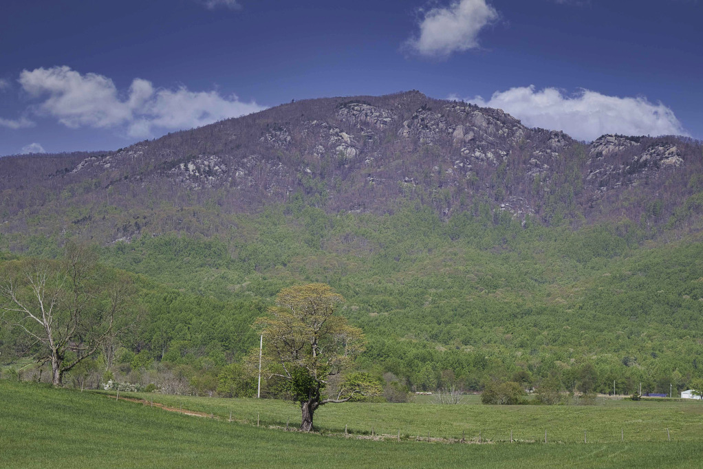
The Hike: We hiked to Apple Orchard Falls in the dry summer of 2021. The water level in the falls that year was just a trickle—but it was still a great hike. We wanted to go back when the water level was higher to see the 200’ falls in all of its glory.  Kathy is […]

Apple Orchard Falls & Cornelius Creek Loop Read More »

Sulphur Springs Loop

The Hike: From the trailhead on Petites Gap Road, we elected to hike counterclockwise leaving the 2.8 mile section of gravel road for the end. From the parking area, follow the white-blazed Appalachian Trail northbound. The climb begins immediately and the trail gains nearly 700’ in elevation over the first mile.  We hiked in early

Sulphur Springs Loop Read More »

Carvins Cove & Hay Rock

The Hike: This hike on the Appalachian Trail has great views of Carvins Cove Reservoir and and Hay Rock. The trail is well marked and well maintained thanks to the volunteers with the Roanoke Appalachian Trail Club. A short .2 mile unmarked trail leads from the parking area to the AT. This trail is located

Carvins Cove & Hay Rock Read More »

Duncan Knob & Strickler Knob

Highlights: Great views, two great rock scrambles, Massanutten Mountain Distance: 9.3 miles out and back Elevation Change 1,860 feet Trail Surface: Rocky with a few dirt sections Difficulty Level: Strenuous (distance, elevation gain, extremely rocky sections) Trailhead Parking: Gap Creek Trailhead, Crisman Hollow Road (FR 274) search Google Maps for “Gap Creek Trailhead”. Note: Crisman

Duncan Knob & Strickler Knob Read More »

Humpback Mountain & Humpback Rocks

Highlights: Great views, Appalachian Trail Distance: 10.2 miles out and back Elevation Change 2,112 feet Trail Surface: Dirt with rocky sections Difficulty Level: Strenuous (distance, elevation gain, rocky sections) Trailhead Parking: Humpback Rocks Picnic Area parking area, Blue Ridge Parkway MP 8.5 Website: National Park Service and AllTrails Beer Pairings: Blue Mountain Brewery—Bumper Crop IPA

Humpback Mountain & Humpback Rocks Read More »

Reeds Gap to Dripping Rock AT

Highlights: Great views, Cedar Cliffs, Appalachian Trail Distance: 9.6 miles out and back Elevation Change: 831 feet Trail Surface: Dirt with rocky sections Difficulty Level: Moderate/strenuous (distance, rocky sections) Trailhead Parking: Reeds Gap, Blue Ridge Parkway MP 13.7 Website: Virginia Trail Guide Beer Pairings: Skipping Rock Beer Co.—Roasted Pecan Brown Ale & Bru-1 IPA The

Reeds Gap to Dripping Rock AT Read More »

Prince William Forest Park Loop

Highlights: Forest and creek views Distance: 7.4 mile loop Elevation Change: 682 feet Trail Surface: dirt with rocky sections Difficulty Level: Moderate/strenuous (distance) Trailhead Parking: Parking area A, B, or C, Scenic Drive, Prince William Forest Park, Triangle VA; park fee required Website: AllTrails and National Park Service Beer Pairings: 2 Silos Brewing Co.—Sir Alucard

Prince William Forest Park Loop Read More »

Cascade Falls to Barney’s Wall

Highlights: Waterfalls, Little Stony Creek Gorge, Barney’s Wall Cliff Views Distance: 8.8 miles loop Elevation Change: 1,650 feet Trail Surface: Rocky Difficulty Level: Strenuous (rocky surface, elevation gain) Trailhead Parking: Cascades Day Use Parking Area, route 623 in Pembroke VA; $3 parking fee required Website: AllTrails and Hiking Upward Beer Pairings: Moon Hollow Brewing Co.—Lunatic

Cascade Falls to Barney’s Wall Read More »

Old Rag Circuit

Highlights: Rock scramble, amazing views Distance: 9.4 mile loop Elevation Change: 2,348 feet Trail Surface: Very rocky Difficulty Level: Very strenuous (rock scramble, distance, elevation)  Trailhead Parking: Old Rag parking area, route 600/Nethers Road off route 231 south of Sperryville; park entrance fee required, hike tickets required, see below Website: Shenandoah National Park and AllTrails

Old Rag Circuit Read More »