Medium 3-6 Miles

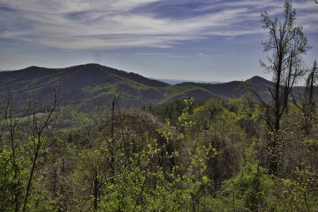
Big Schloss

Highlights: Panoramic views Distance: 4.5 miles out and back Elevation Change: 978 feet Trail Surface: Very rocky Difficulty Level: Moderate/strenuous (rocky surface and steep climb for initial .7 miles)  Trailhead Parking: Wolf Gap Recreation Area, VA state route 675 Website: US Forest Service and AllTrails Beer Pairings: Woodstock Brewhouse—Seven Bender Pale Ale & Massanutten Stout […]

Big Schloss Read More »

Little Flat Mountain

Highlights: Wildflowers, streams, mountain views Distance: 4.5 mile loop Elevation change: 1,263 feet Difficulty level: Moderate/strenuous Trailhead Parking: Patricia Ann Byrom Forest Preserve Park, 6610 Blackwells Hollow Road, Crozet, VA  Website: Albemarle County and AllTrails Beer Pairings: Skipping Rock Beer Co. Amber Lager & Bell’s Brewery Two Hearted Ale The Hike: This fun hike is

Little Flat Mountain Read More »

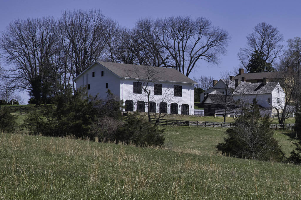
Highland Mountain Trail

Highlights: History, wildlife, wildflowers Distance: 3.6 mile loop Elevation change: 558 feet Difficulty level: Easy/Moderate Trailhead Parking: Highland, 2050 James Monroe Parkway, Charlottesville Website: James Monroe Highland Beer Pairings: Decipher Brewing Co.—Scytale Stout & Broken Logic IPA The Hike: We have had several requests for shorter, easier hikes. This short hike travels to the top

Highland Mountain Trail Read More »

Saunders-Monticello Trail

Highlights: Wildflowers, history Distance: 4.3 miles out and back Elevation change: 238 feet Difficulty level: Easy Trailhead Parking: Monticello, 931 Thomas Jefferson Parkway; alternate parking area at Kemper Park; no entry fee required for trail use Website: Monticello Beer Pairings: Random Row Brewing Co.—Eagle Swoop Bitter & DoMo Triple IPA The Hike: We have had

Saunders-Monticello Trail Read More »

Texas Beach

Highlights: James River, bird watching Distance: 3.6 miles out and back Elevation change: 128 feet Difficulty level: Easy Trailhead Parking: North Bank Park, 1941 Texas Ave., Richmond VA Website: James River Park and AllTrails  Beer Pairings: Strangeways Brewing, Scott’s Addition—Zappa On Strat IPA & Less Than Zero IPA The Hike: Texas Beach is a popular

Texas Beach Read More »

Hughlett Point Preserve

Highlights: Chesapeake Bay views, bird watching Distance: 3.2 mile loop Elevation change: 23 feet Difficulty level: Easy Trailhead Parking: Route 605, Kilmarnock VA, the small parking area accommodates 11 vehicles Website: Virginia Dept. of Conservation and Recreation Beer Pairings: Kilmarnock Brewhaus—Grier’s Gaire Pilsner & Edelweiss IPA The Hike: Located on Virginia’s Northern Neck, Hughlett Point

Hughlett Point Preserve Read More »

Long Point, Fayetteville, and Timber Ridge Loop

Highlights: New River Gorge and Bridge views, Rhododendron forest Distance: 4.5 miles out and back Elevation change: 507 feet Difficulty level: Easy/Moderate Trailhead Parking: Long Point trailhead parking, Newton Road, Fayetteville WV Website: New River Gorge National Park Beer Pairings: Bridge Brew Works—New River IPA & Mountain Momma Pale Ale The Hike: New River Gorge

Long Point, Fayetteville, and Timber Ridge Loop Read More »

Grandview Rim Trail

Highlights: New River Gorge, great views, rock formations Distance: 4.0 miles out and back Elevation change: 361 feet Difficulty level: Easy/moderate Trailhead Parking: Grandview Visitor Center, New River Gorge National Park, 4700 Grandview Road, Beaver, WV Website: New River Gorge National Park Beer Pairings: Weathered Ground Brewery—Jethro porter & Tallahatchie IPA The Hike: New River

Grandview Rim Trail Read More »

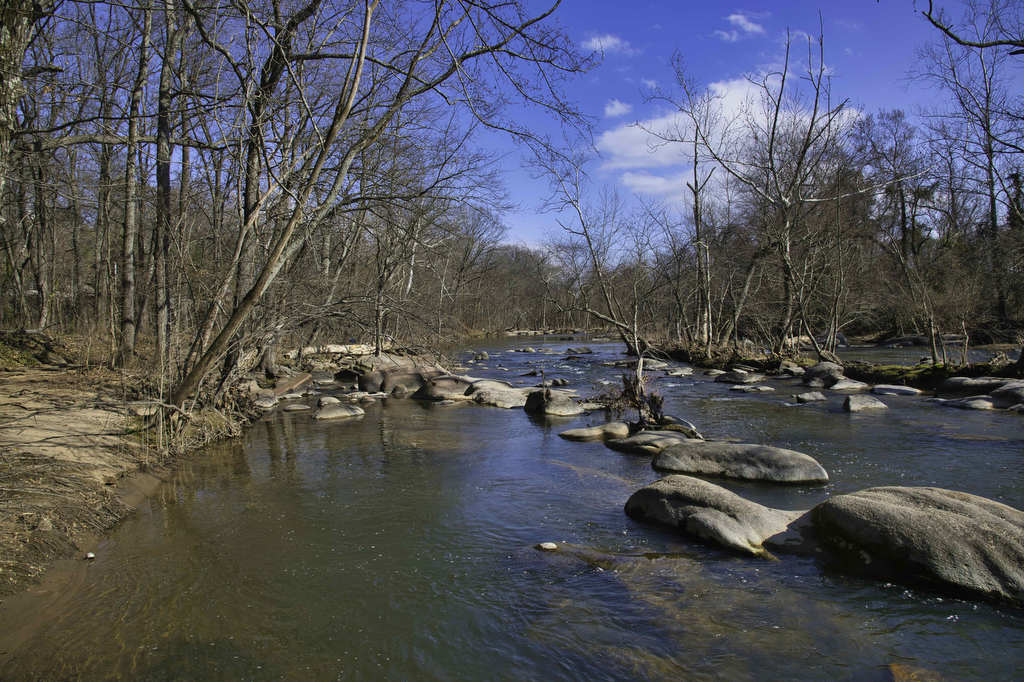
Rivanna River Trail

Highlights: Historic Woolen Mills, Riverview Park, Rivanna River Distance: 4.2 miles out and back Elevation change: 170 feet Difficulty level: Easy Trailhead Parking: Wool Factory, 1837 Broadway St., Charlottesville, VA Website: Rivanna Trails Beer Pairings: Selvedge Brewing Co.—Britches Get Stitches IPA & Flannel Stout The Hike: The Rivanna Trail is a 20-mile network of multi-use

Rivanna River Trail Read More »

South River Falls Loop

Highlights: Waterfalls, wildflowers, Appalachian Trail Distance: 4.9 mile loop Elevation change: 1,081 feet Difficulty level: Moderate Trailhead Parking: Skyline Drive South River Picnic Area mile post 63, park fee required. Park near the rest rooms at the far end of the picnic grounds. Website: Shenandoah National Park Beer Pairings: Patch Brewing Co.—Home Field Advantage porter

South River Falls Loop Read More »