Dog Friendly

Devil’s Bathtub

Trail Map: The Hike: Devil’s Bathtub has become a popular bucket list hike. Parking has been always been a problem. The trailhead is located at the end of Forest Road 619—a single lane dirt road. To address parking issues, Scott County created a large parking area (with restrooms) on county road 619, about 1 mile […]

Devil’s Bathtub Read More »

AT & Golden Winged Warbler Loop

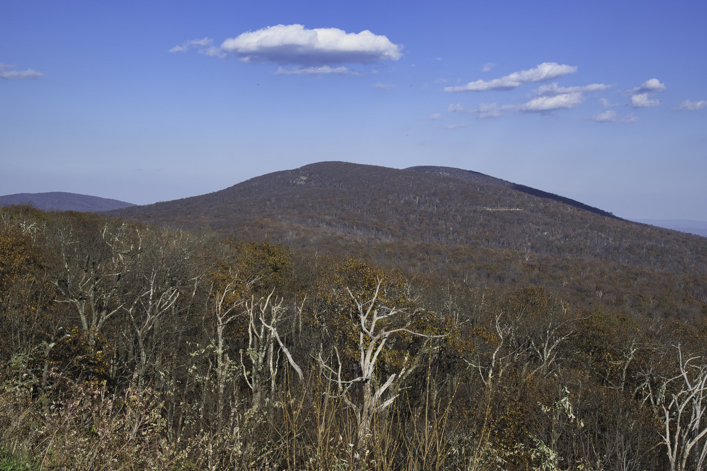
Trail Map: The Hike: This is a great hike if you’re looking for solitude along with some great views. We hiked on a rainy Saturday and only encounter three other hikers. The Golden Winged Warbler has experienced a dramatic decrease in population in the past 50 years. Its namesake trail passes through ideal habitat for

AT & Golden Winged Warbler Loop Read More »

Rohrbaugh Trail: Dolly Sods

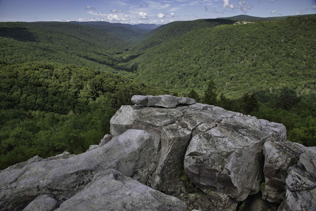
Trail Map: The Hike: Dolly Sods puts the wild and wonderful in West Virginia. This unique wilderness is home to bog and heath ecosystems more commonly found in southern Canada. This area is a true wilderness. A trailhead sign warns: “Don’t expect cell phone service and be prepared to navigate unmarked trails and cross waterways

Rohrbaugh Trail: Dolly Sods Read More »

Seneca Rocks

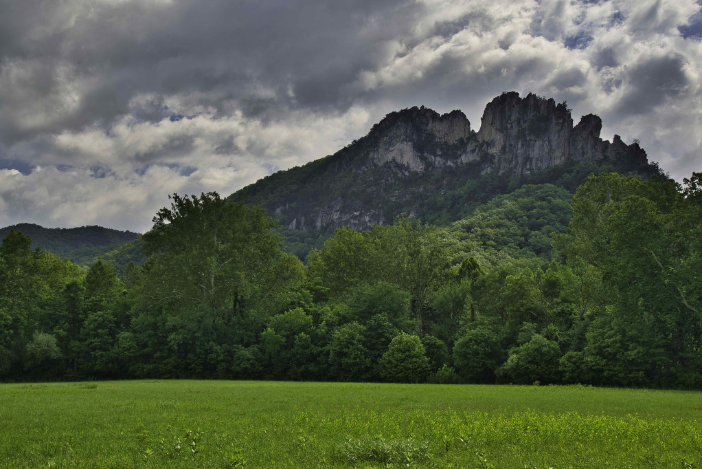
Trail Map: The Hike: The rocky summit of Seneca Rocks dominates the landscape. This has been a popular destination for generations. Seneca Rocks National Recreation Area (NRA) contains the highest peak in West Virginia with some of the best rock climbing in the east. This is a very popular destination and the steep trail to

Seneca Rocks Read More »

Hawks Ridge Loop

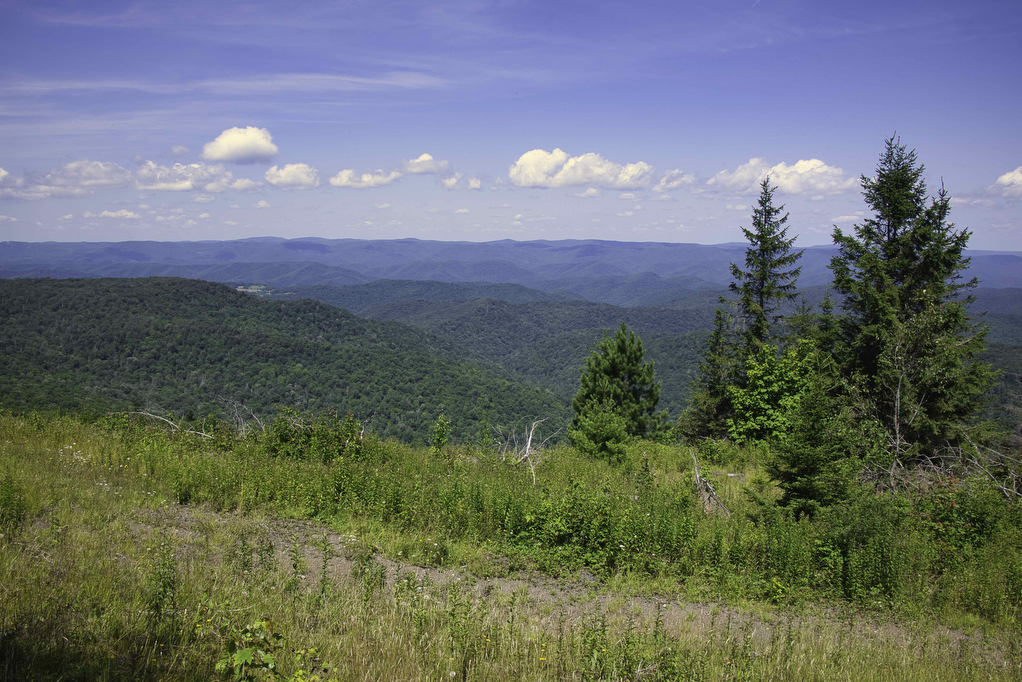
Trail Map: The Hike: This hike passes through a small part of the 40,000 acres of Cheat Mountain which joined the Monongahela National Forest in the 1980s. Before being rescued by the Forest service, logging companies cut down most of the trees and strip mines devastated the landscape. The high, wide-open landscape has been nicknamed

Hawks Ridge Loop Read More »

Appalachian Trail to Fulhardt Knob Shelter

Trail Map: The Hike: Thru-hikers call the Appalachian Trail “the long green tunnel”. For most of its 2,198 miles, the AT passes through forests beneath heavy tree cover. This hike has a small section of open meadow with some nice mountain views. There are a few partial views during the rest of the hike under

Appalachian Trail to Fulhardt Knob Shelter Read More »

Appalachian Trail to Keffer Oak

Trail Map: The Hike: This easy hike on the Appalachian Trail has some nice meadow and mountain views. It also passes beside Keffer Oak, the 2nd largest tree on the AT. From the trailhead parking area, cross route 42 and follow a gravel double track road which runs beside the highway. In about 200 yards,

Appalachian Trail to Keffer Oak Read More »