Mountains

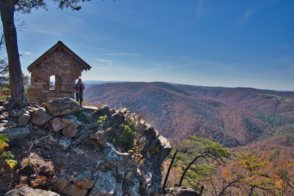
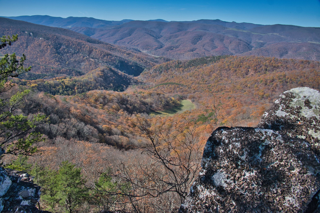
North Fork Mountain Section Hike

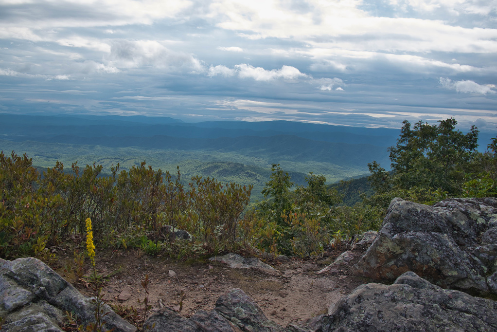
Trail Map: The Hike: The North Fork Mountain Trail (NFMT), Trail 501, is over 24 miles of great views as it passes along a ridge from US 33 at Harmon Rocks to Chimney Top. NFMT has been called the trail of relentless views, and it’s true. A short bushwhack to the west leads to impressive […]

North Fork Mountain Section Hike Read More »

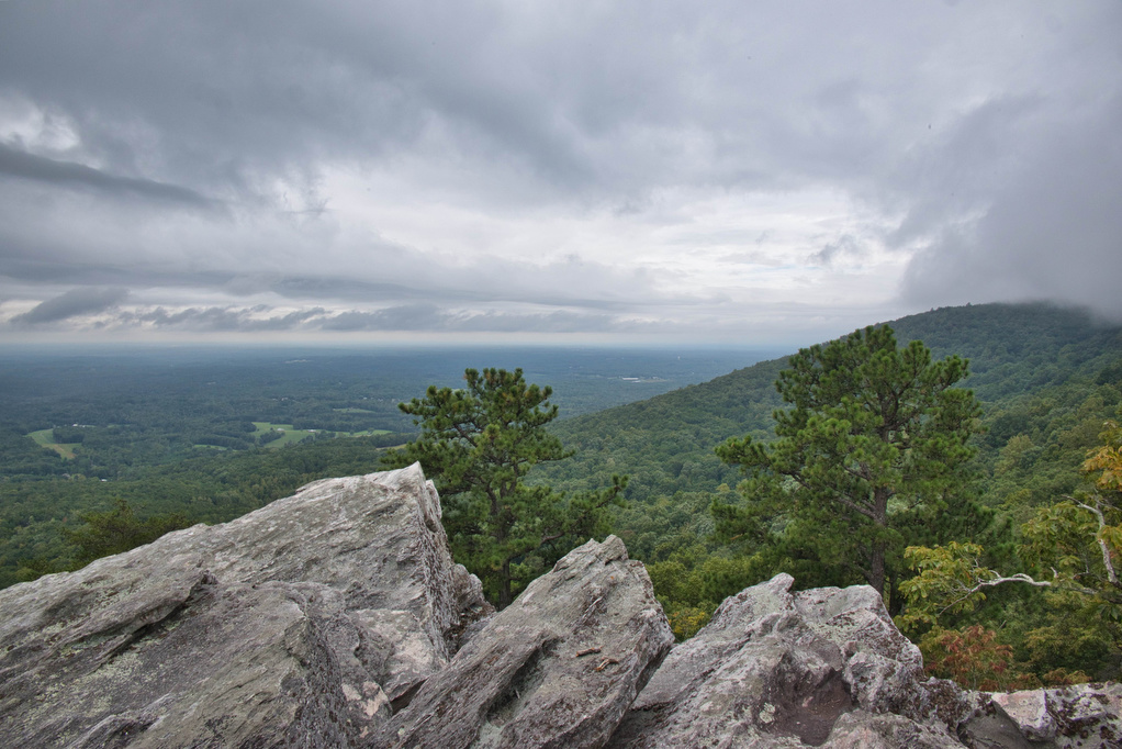
Hanging Rock, Wolf Rock, and Cook’s Wall Loop

Trail Map: The Hike: This was our first visit to Hanging Rock State Park and we are already planning to return. We hiked on a cloudy day and some of the views were partially covered with clouds. Hanging Rock is famous for waterfalls and amazing views. The park has five vistas and this hike visits

Hanging Rock, Wolf Rock, and Cook’s Wall Loop Read More »

Bear Loop Trail

Trail Map: The Hike: The Nature Conservancy protects more than 9,000 acres on and around Warm Springs Mountain—their largest preserve in Virginia. This easy loop hike has panoramic views to the east and west. Interpretive signs highlight the mountain’s diversity of wildlife species and habitats in addition to TNC’s efforts to restore the region’s fire-adapted

Bear Loop Trail Read More »

Torry Ridge & Sherando Lake Loop

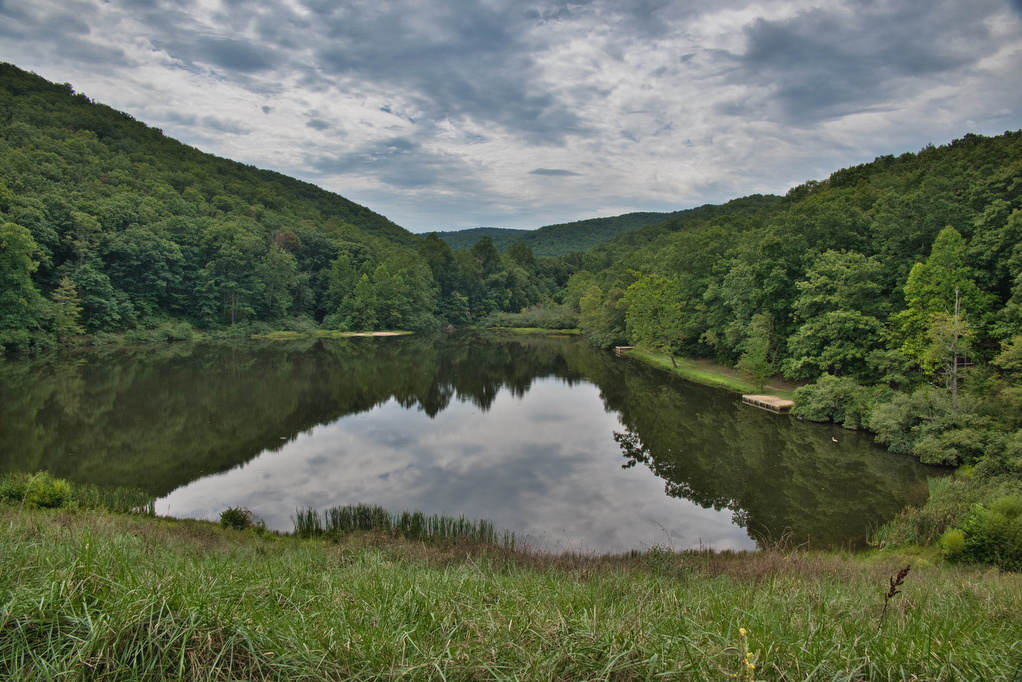
Trail Map: The Hike: This hike packs in a lot in just under ten miles: a waterfalls, mountain views, two lakes, and a ridge line. We hiked over Labor Day weekend so the water levels in the falls were a bit low and peak foliage is still weeks away—but this was still a great hike.

Torry Ridge & Sherando Lake Loop Read More »

Watauga Lake & Dam

Trail Map: This is a nice walk in the woods on the AT with some decent mountain and lake views. The AT crosses over the Watauga Dam which spans the Watauga River Gorge. The AT enters the Shook Branch Recreation Area near the beach. Follow the AT northbound through a hardwood forest with several nice

Watauga Lake & Dam Read More »

Alum Cave Bluff Trail

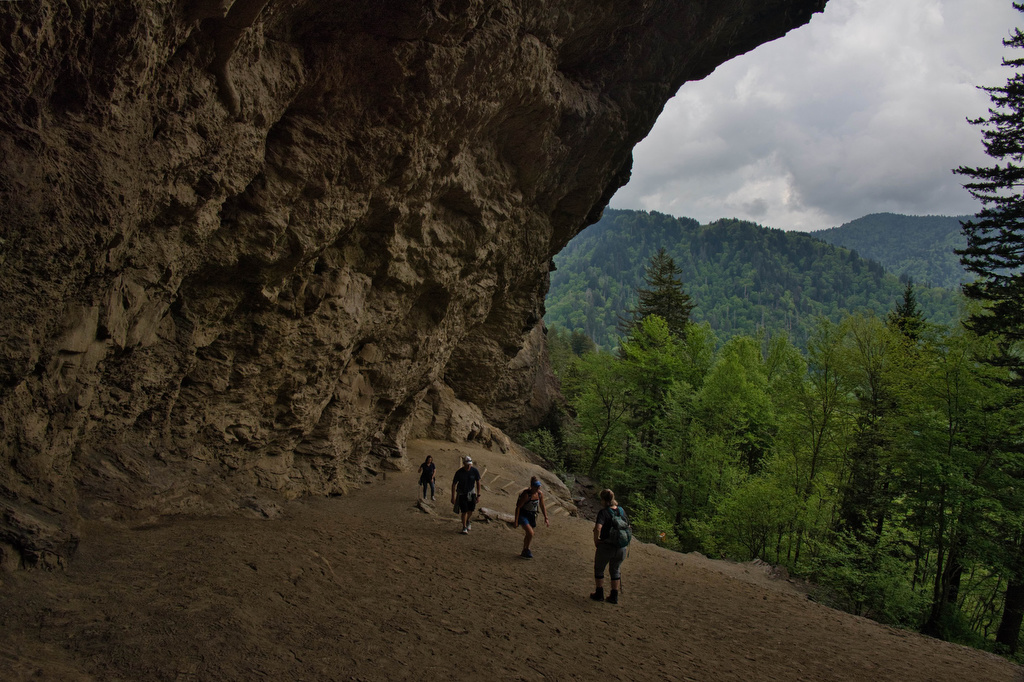
Trail Map: The Hike: We arrived before 8am on a Tuesday in mid-May and parking was filling up quickly. GSMNP charges a $5 per day parking fee. This parking area doesn’t sell parking permits, we purchased one at the Sugarlands Visitor Center. This is a popular hike and parking areas fill up quickly. The trail

Alum Cave Bluff Trail Read More »

Flat Rock

Trail Map: The Hike: This easy, short hike is great for kids of all ages. Flat Rock has great views of the Linville Valley and Grandfather Mountain. Interpretive signs tell the story of the plants, trees, animals, and geological features of the forest.  Hike Photos: Click on an image below for an enlarged view. Beer

Flat Rock Read More »