Virginia

Humpback Rocks

Highlights: mountain views, rocky summit, Appalachian Trail Distance:  3.8 out and back Elevation change:  1,120 feet Difficulty level: Moderate/Strenuous Trailhead Parking: Visitor Center, Blue Ridge Parkway mile 5.8 Website: National Park Service Beer Pairings: Pro Re Nata Brewery, Crozet VA Hop Drone IPA & Tapped Out pilsner The Hike: This popular hike can be crowded […]

Humpback Rocks Read More »

Crabtree Falls (Virginia)

Highlights: Highest waterfalls east of the Mississippi, classic Virginia bucket list hike  Distance: 4 mile out and back Elevation change:  1,070 feet Difficulty level: Moderate/strenuous Trailhead Parking: Crabtree Falls day use parking area, off state route 56 in Nelson county VA. $3 parking fee. Website: US Forest Service Beer Pairings: Blue Mountain Native Species pale

Crabtree Falls (Virginia) Read More »

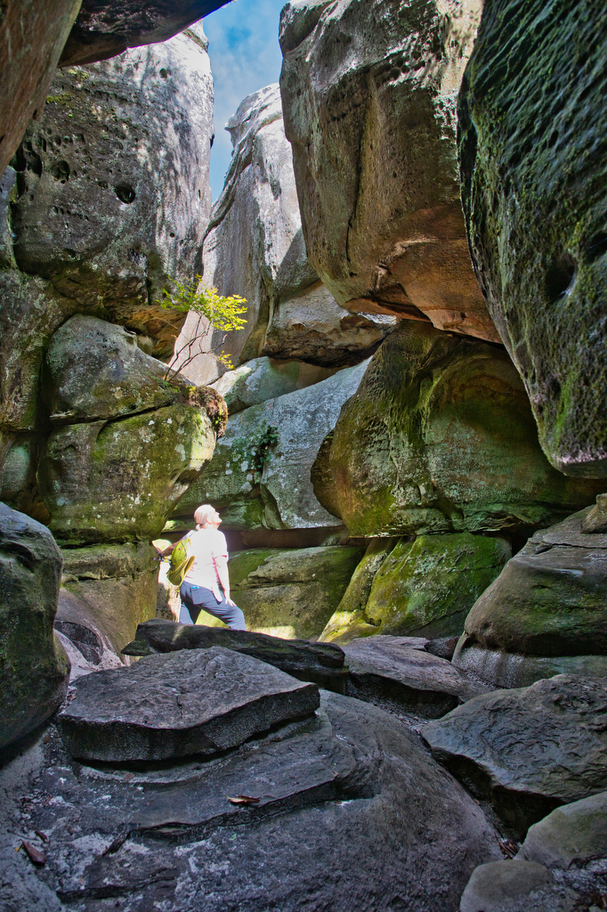
The Great Channels

Highlights: amazing rock formations, slot-canyon rock maze, wildflowers  Distance:  6 mile out and back Elevation change:  1,280 feet Difficulty level: Moderate Trailhead Parking: Hayter’s Gap, route 80 Saltville VA. Note the parking area is very small and has spaces for just 10 vehicles. Parking on route 80 is not permitted.  Website: Virginia Dept. of Forestry 

The Great Channels Read More »

Buzzard Rock via the Appalachian Trail

Highlights: mountain views, bald summit, Appalachian Trail Distance:  7.2 mile loop Elevation change:  1,270 feet Difficulty level: Moderate/Strenuous Trailhead Parking: Elk Garden Trailhead parking on route 600/Whitetop Road near Troutville VA Website: AllTrails  Beer Pairings: 7 Dogs Brewpub-High Bridge pale ale & Scottish 80 The Hike: Even though this hike is over 7 miles and has

Buzzard Rock via the Appalachian Trail Read More »

Chestnut Knob

Highlights: Burke’s Garden, views, bald summit, Appalachian Trail Distance:  4.2 mile out and back Elevation change:  1,400 feet Difficulty level: Strenuous Trailhead Parking: From Burke’s Garden General Store on route 623, continue south east for 1.1 miles. Turn left on route 727 and follow for 4 miles until the road becomes a one lane dirt

Chestnut Knob Read More »

Old Rag from Berry Hollow

Highlights: Classic hike, scramble, great views Distance: 9.4 mile loop or 5.4 mile out and back (without the scramble) Elevation change: 2,348 or 1,760 (without the scramble) Difficulty level: hard Website: Shenandoah National Park Parking: Trail map with parking options Beer pairings: Hopkins Ordinary-Innkeepers’ IPA and Second Breakfast Stout The Hike: This is one of

Old Rag from Berry Hollow Read More »

RVA Pipeline, Capital Trail, and Canal Walk

Highlights: River views, Great Shiplock Park, Pipeline, Brown’s Island  Distance: 5.4 miles, out and back Elevation change: 143 feet Difficulty level: moderate Website: James River Parks Parking: Great Ship Lock Park, 2803 Dock St, Richmond, VA 23223  Beer pairings: Triple Crossing Brewery-Nelson Triangles IPA & Triple Crossing DDH Falcon Smash The Hike: Parking can often

RVA Pipeline, Capital Trail, and Canal Walk Read More »

RVA Flood Wall and Slave Trails

Highlights: Great river and city views, Flood Wall, Brown’s Island  Distance: 6.6 miles, out and back Elevation change: 286 feet Difficulty level: moderate Website: James River Park system Parking: Ancarrow’s Landing, 1200 Brander St, Richmond, VA 23224 Beer pairings: Legend Brewery-Oak Aged Brown Ale and Legend Hazey Days IPA The Hike: There are several starting

RVA Flood Wall and Slave Trails Read More »

James River Loop: Buttermilk, Belle Isle, and North Bank trails

Highlights: Great river and city views, Belle Isle, Texas Beach Distance: 7 miles, loop Elevation change: 540 feet Difficulty level: Moderate Website: James River Park system Parking: Pump House Parking Lot, Pump House Drive, Richmond VA 23221 Beer pairings: Ardent Brewery-X IPA & Ardent Dark Rye Stout The Hike: This is one of our favorite

James River Loop: Buttermilk, Belle Isle, and North Bank trails Read More »