bird watching

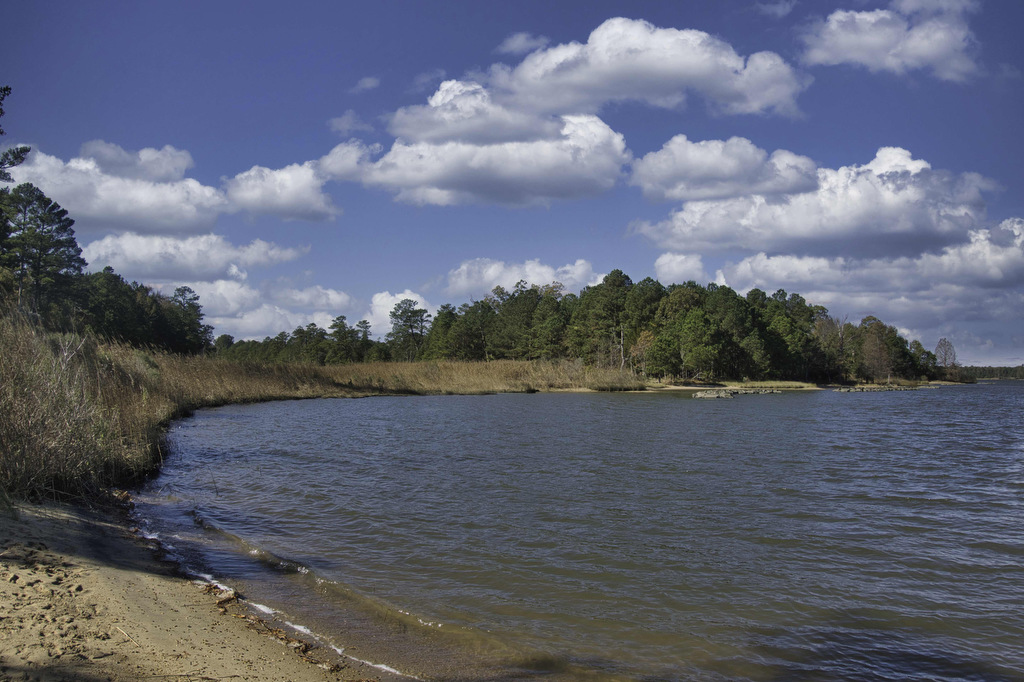
Machicomoco State Park

The Hike: Machicomoco is one of Virginia’s newest State Parks. This small park (645 acres) is home to diverse wildlife habitats, from open fields to woodlands and waterfront/marsh areas. The park is still a bit of a work in progress as more trails and facilities are planned. The park currently has three hiking trails. Our […]

Machicomoco State Park Read More »

Eagle Rock

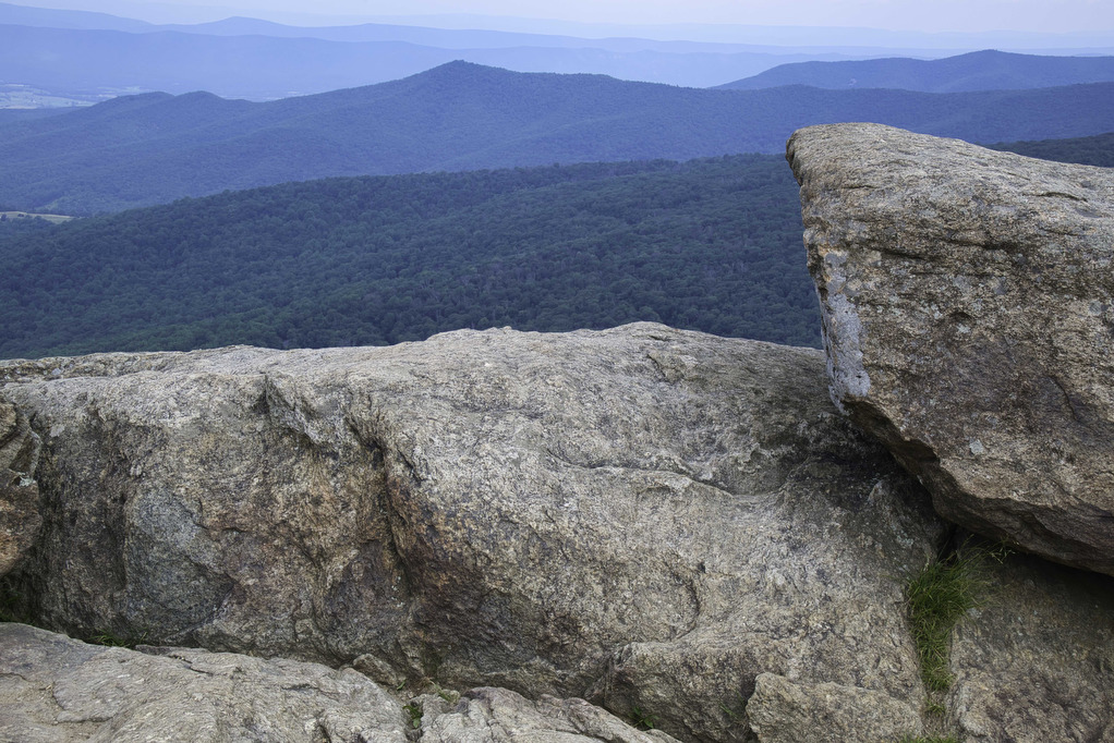
Highlights: Great views, Tuscarora Trail Distance: 2.2 miles out and back Elevation Change 489 feet Trail Surface: Mostly dirt with a few rocky sections Difficulty Level: Easy/Moderate (some rocky sections) Trailhead Parking: Eagle Rock Trailhead parking area at the VA/WV state line, Capon Springs Grade, search Google Maps for “Tuscarora Trail Eagle Rock Trailhead” Website:

Eagle Rock Read More »

Fort Monroe Seawall

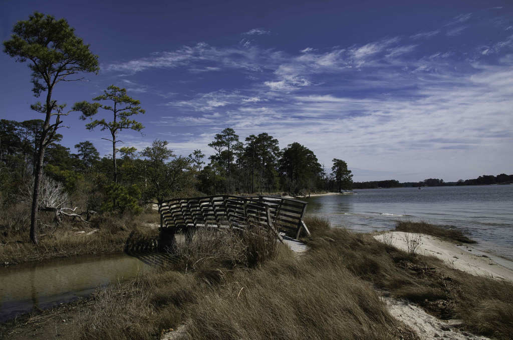
Highlights: Fort Monroe, Chesapeake Bay views Distance: 3.4 miles out and back Elevation Change: 36 feet Trail Surface: Paved Difficulty Level: Easy (smooth surface, no elevation gain) Trailhead Parking: Fort Monroe Visitor & Education Center, 30 Ingalls Rd, Fort Monroe, VA Website: AllTrails and National Park Service Beer Pairings: 1865 Brewing Co.—High Noon Pale Ale

Fort Monroe Seawall Read More »

Rice Fields AT Shelter

Highlights: Mountain meadow, AT shelter, great views Distance: 5.2 miles out and back Elevation Change: 1,259 feet Trail Surface: Rocky Difficulty Level: Moderate (rocky surface, elevation gain) Trailhead Parking: From Blacksburg US 460 west, turn left on Route 641, in 1.5 miles turn left on to Pocahontas Road. In 150 yards reach the AT crossing

Rice Fields AT Shelter Read More »

Mary’s Rock AT North

Highlights: Appalachian Trail, amazing views, mountain laurel in June Distance: 3.7 miles out and back Elevation Change: 1,210 feet Trail Surface: Very rocky Difficulty Level: Moderate (rocky surface, elevation gain) Trailhead Parking: Panorama parking area, Skyline Drive MP 31.5; park entrance fee required Website: Shenandoah National Park and AllTrails Beer Pairings: Hawksbill Brewery—Hooray for Luray

Mary’s Rock AT North Read More »

Back Bay Wildlife Refuge Loop

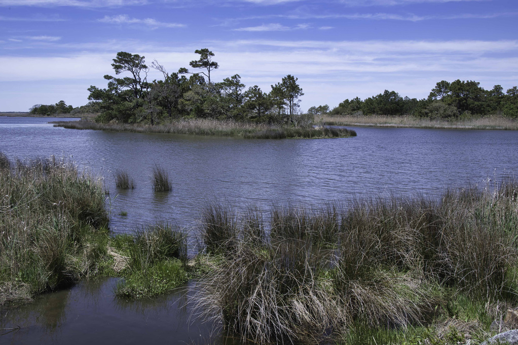
Highlights: Birding, ocean views, wildlife  Distance: 9.5 mile loop Elevation change: 35 feet Difficulty level: Moderate/strenuous Trailhead Parking: Visitor Contact Station, 4005 Sandpiper Road, Virginia Beach VA; park entry fee required Website: Back Bay National Wildlife Refuge, AllTrails, and False Cape State Park Beer Pairings: Reaver Beach Brewing Co.—Hammerhead IPA & Soup of the Night

Back Bay Wildlife Refuge Loop Read More »

First Landing State Park Loop

Highlights: Broad Bay, bald cypress swamp, rare plants and wildlife  Distance: 8.6 mile loop Elevation change: 251 feet Difficulty level: Moderate Trailhead Parking: 2500 Shore Drive, Virginia Beach, VA, Trail Center Parking Area; park entry fee required Website: First Landing State Park Beer Pairings: Wasserhund Brewing Co.—Great Dane’ish Pilsner & Doggy Paddle IPA The Hike:

First Landing State Park Loop Read More »

Bassett Trace Nature Trail

Highlights: Nature trail, lake views, bird watching Distance: 2.9 miles out and back Elevation change: 265 feet Difficulty level: Easy Trailhead Parking: Griffin Hotel, 136 E. Francis Street, Williamsburg Website: Colonial Williamsburg Beer Pairings: Precarious Beer—Fortune and Glory Pilsner & Chug Rug IPA The Hike: Located near Bassett Hall and owned by Colonial Williamsburg, this

Bassett Trace Nature Trail Read More »

Waller Mill Park Lookout Tower Loop

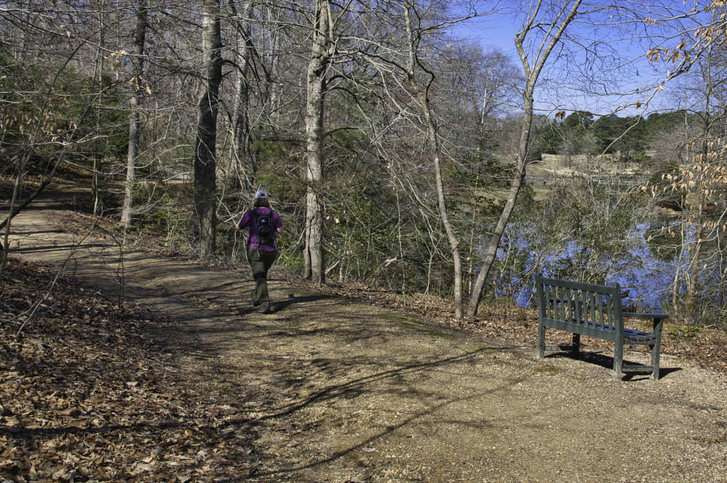
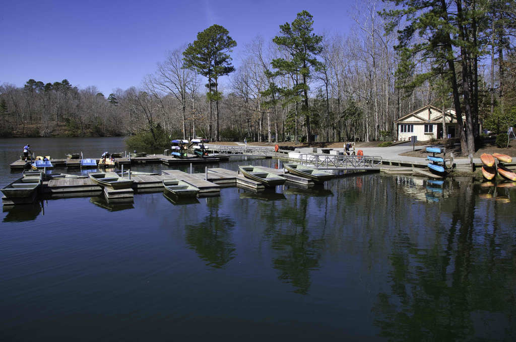
Highlights: Lake views, bird watching Distance: 2.9 mile loop Elevation change: 185 feet Difficulty level: Easy Trailhead Parking: 901 Airport Road, Williamsburg VA, $2.00 parking fee Website: Williamsburg Parks and Recreation Beer Pairings: Alewerks Brewing Company—Protocol Porter & Fractionate IPA The Hike: Waller Mill Park in Williamsburg is centrally located near Interstate 64 and Colonial

Waller Mill Park Lookout Tower Loop Read More »