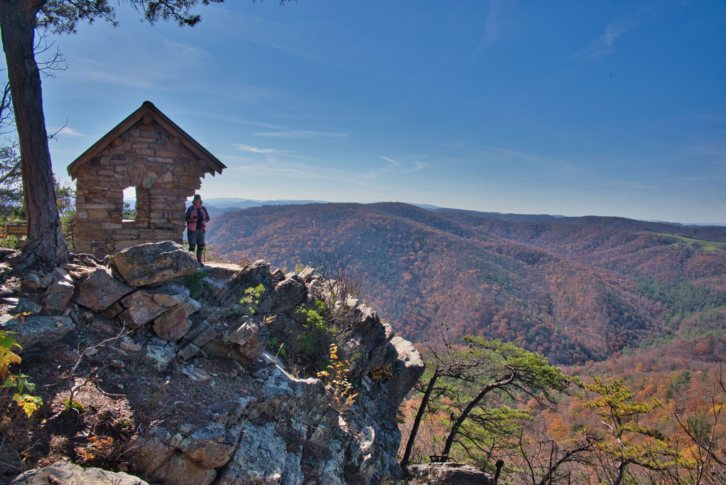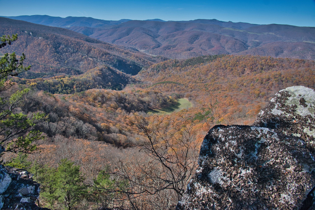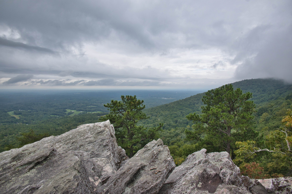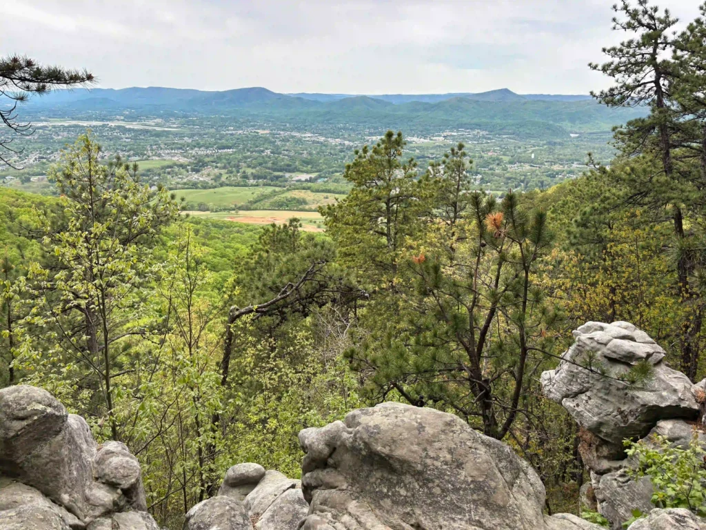
Buzzard Rock at Read Mountain
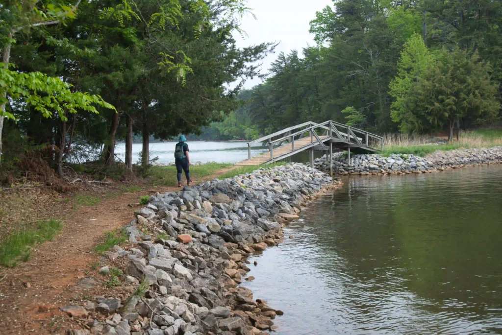
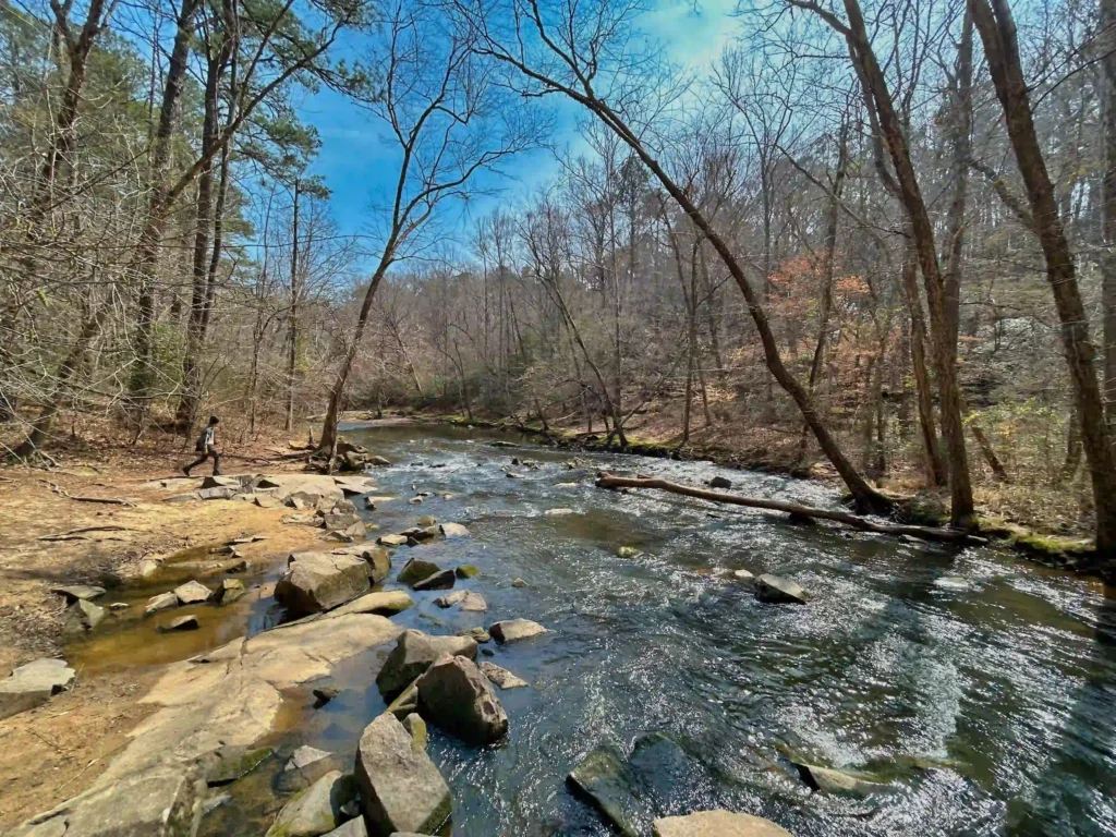
Trail Map: The Hike: This hike to Buzzard Rock has some of the best views in the Roanoke area. Read Mountain is the long, undeveloped ridge looming above the Roanoke Valley. The park lands, protected by a conservation easement, were donated to Roanoke County and the hiking trails were built by volunteers. The 243-acre park […]
Buzzard Rock at Read Mountain Read More »