rocky summit

Charlies Bunion

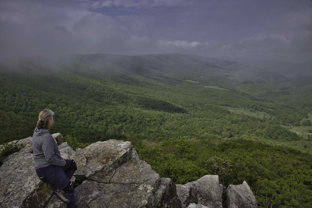
Trail Map: The Hike: This hike is said to have some of the best views in Great Smoky Mountains NP. We certainly understand why it is so popular. This eight-mile round trip hike on the Appalachian Trail has an option one mile extension on the Jump Off Trail with even more amazing views. Dogs are […]

Charlies Bunion Read More »

Hanging Rock Overlook

Trail Map: The Hike: This easy hike has some fantastic views. Located in the Shawvers Run Wildness in Jefferson National Forest, this hike is a hidden gem. It’s popular with locals but not well known to most hikers. Part of the reason could be the 3-mile drive on the forest road leading to the trailhead. 

Hanging Rock Overlook Read More »

Hanging Rock (WV) Observatory

The Hike: This short hike has some great views with minimal hiking effort. Located in the Potts Creek Wildlife Management Area in West Virginia, this hike climbs up Peters Mountain on the Eastern Continental Divide to a raptor observatory. The hike travels along the Allegheny Trail a 311-mile long trail stretching from Pennsylvania to West

Hanging Rock (WV) Observatory Read More »

Tuscarora Trail: Biby to Pinnacle Overlook

The Hike: The Tuscarora Trail stretches for 250 miles from Pennsylvania to Virginia. Established in the 1960’s as an alternate route for the Appalachian Trail, the Tuscarora offers a truly unique hiking adventure. This section of the Tuscarora Trail is well marked and maintained by the Potomac Appalachian Trail Club. We were joined on this

Tuscarora Trail: Biby to Pinnacle Overlook Read More »

High Rocks Trail

The Hike: This short hike has some great payoffs. Trailhead parking is 2 miles on the right after the Broadway Road (route 640) intersection with route 720. Broadway Road is a gravel, narrow, country road that winds through the Big Survey WMA. There are two small parking areas here. The trailhead is at the rear

High Rocks Trail Read More »

Carvins Cove & Hay Rock

The Hike: This hike on the Appalachian Trail has great views of Carvins Cove Reservoir and and Hay Rock. The trail is well marked and well maintained thanks to the volunteers with the Roanoke Appalachian Trail Club. A short .2 mile unmarked trail leads from the parking area to the AT. This trail is located

Carvins Cove & Hay Rock Read More »

Eagle Rock

Highlights: Great views, Tuscarora Trail Distance: 2.2 miles out and back Elevation Change 489 feet Trail Surface: Mostly dirt with a few rocky sections Difficulty Level: Easy/Moderate (some rocky sections) Trailhead Parking: Eagle Rock Trailhead parking area at the VA/WV state line, Capon Springs Grade, search Google Maps for “Tuscarora Trail Eagle Rock Trailhead” Website:

Eagle Rock Read More »