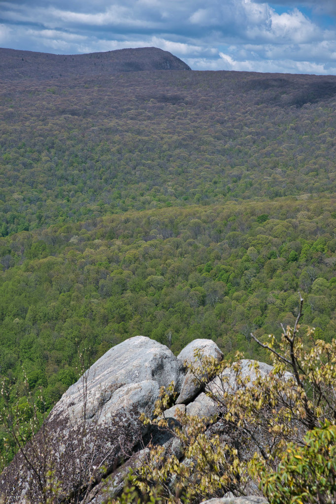
Brown’s Gap Falls Loop
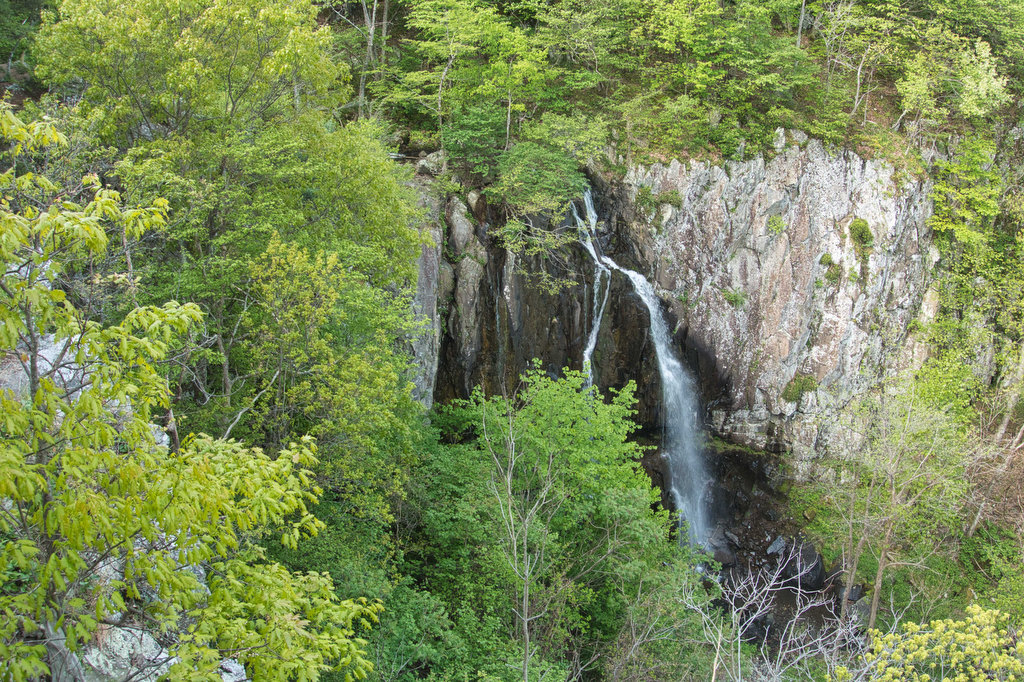
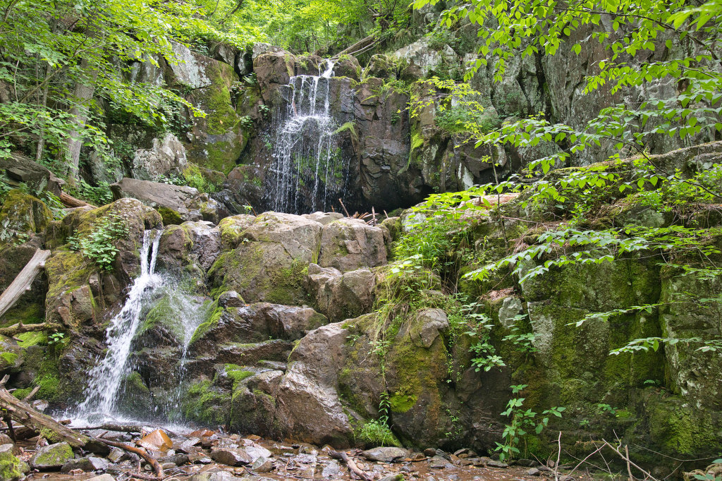
Highlights: Waterfalls, wildflowers, stream crossings, Appalachian Trail Distance: 6.7 mile loop Elevation change: 1,370 feet Difficulty level: Moderate/Strenuous Trailhead Parking: Brown’s Gap parking area, Skyline Drive mile 83, park entrance fee required Website: Shenandoah National Park Beer Pairings: Loft Mountain Wayside—White Oak Witbier & Limberlost Lager The Hike: This hike take you to three waterfalls […]
Brown’s Gap Falls Loop Read More »