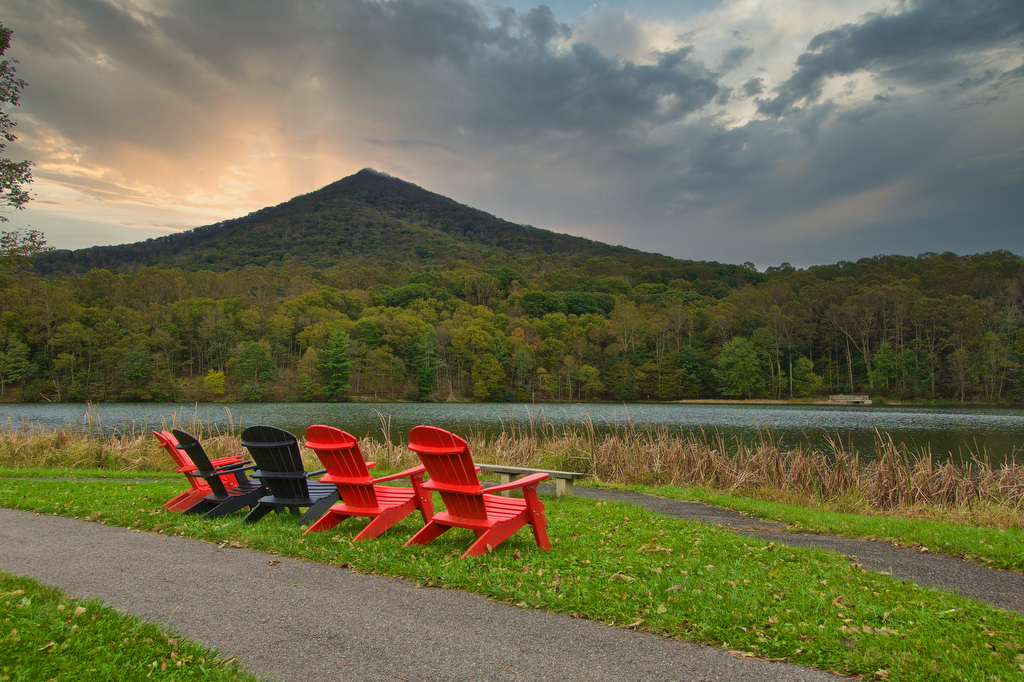
Stony Man/Passamaquoddy Loop

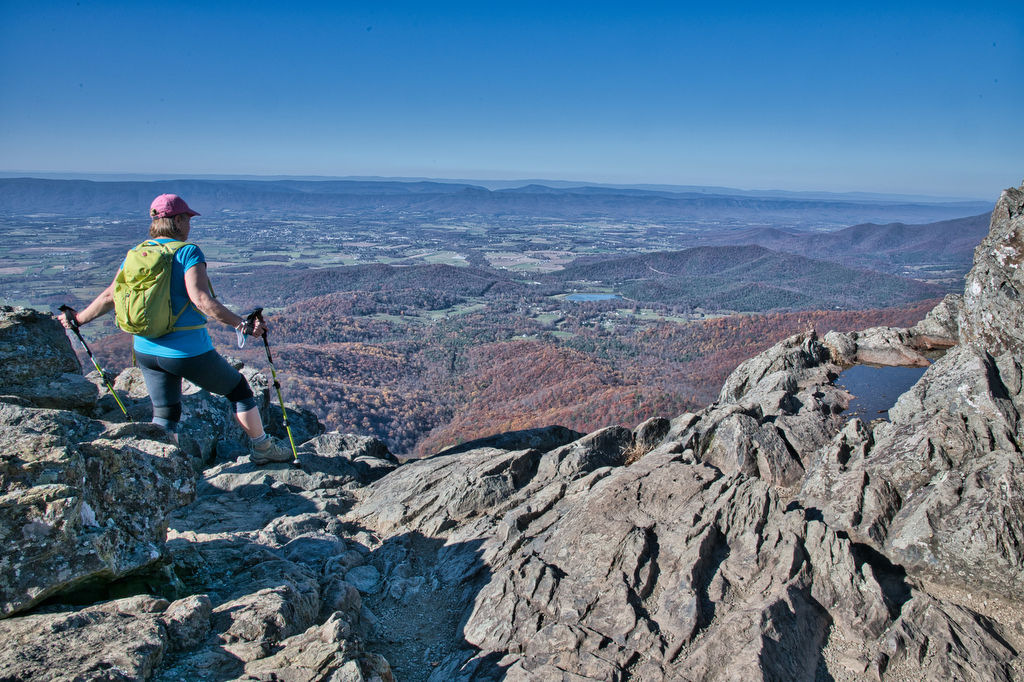
Highlights: Great views, mountains, Shenandoah National Park, Appalachian Trail Distance:  3.4 mile loop  Elevation change: 850 feet Difficulty level: Moderate Trailhead Parking: Skyline Drive, mile 41.7, Stony Man parking area Website: National Park Service Beer Pairings: Basic City Beer Company 6th Lord IPA The Hike: This is a fun hike with some great views. The […]

Stony Man/Passamaquoddy Loop Read More »

Little Devil Stairs

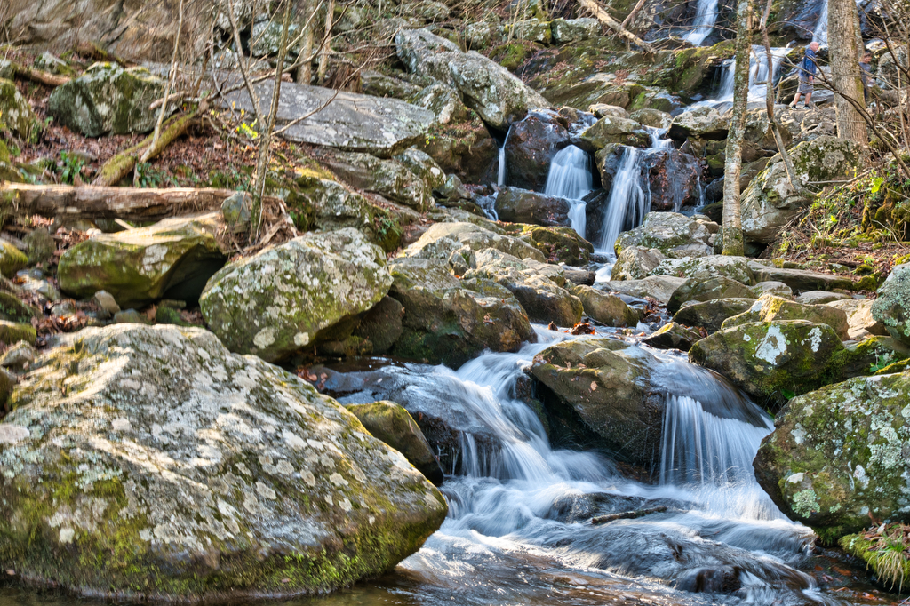
Highlights: Waterfalls, mountains, Shenandoah National Park, stream crossings Distance:  5.5 mile loop Elevation change: 1,490 feet Difficulty level: Strenuous Trailhead Parking: US 211 north of Sperryville, left on route 622 (Gidbrown Hollow Road) and then left on route 614 (Keyser Run Road). At the end of route 614 there is a small parking lot. The

Little Devil Stairs Read More »

Whiteoak Canyon & Cedar Run Falls Loop

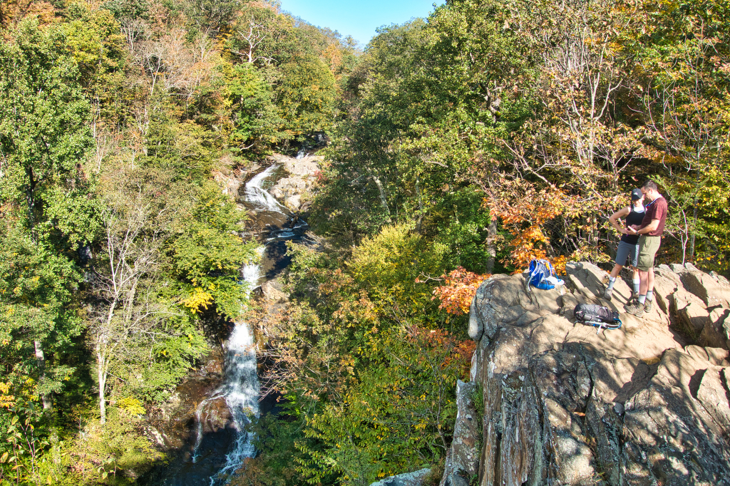
Highlights: Waterfalls, mountains, Shenandoah National Park, stream crossings Distance:  7.3 mile loop (many sources, including our GPS, show this hike to be about 9 miles) Elevation change: 2,743 feet Difficulty level: Very Strenuous Trailhead Parking: Boundary Trailhead on route 600 near Syria (see link below) or Skyline Drive mile 45.6 Website: National Park Service Beer

Whiteoak Canyon & Cedar Run Falls Loop Read More »

Spy Rock

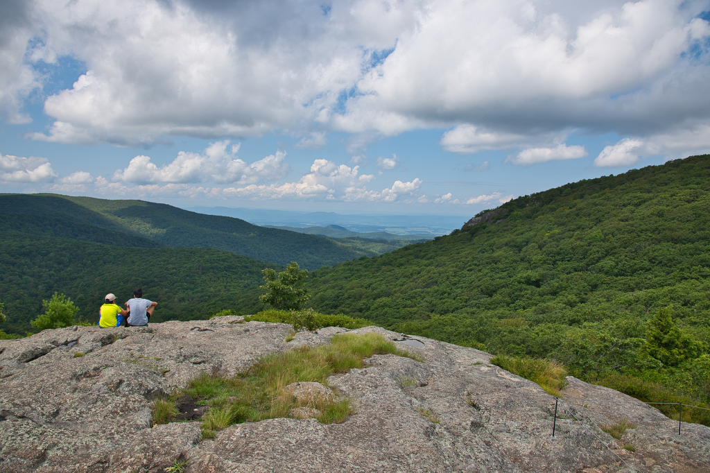
Highlights: Rocky summit, panoramic views, fall foliage, Appalachian Trail Distance:  5.8 mile out and back Elevation change:  1,200 feet Difficulty level: Moderate Trailhead Parking: State Route 828 (Meadows Lane) near Tyro, Virginia Website: AllTrails and US Forest Service Beer Pairings: Seven Sisters Brewery, Mary old ale & Maggie imperial IPA The Hike: In the old days

Spy Rock Read More »

Siler Bald via the AT

Highlights: grassy summit, views, fall foliage, Appalachian Trail, Nantahala National Forest Distance:  3.6 mile out and back Elevation change:  1,000 feet Difficulty level: Moderate Trailhead Parking: Wayah Gap picnic area on Wayah Road, about 14 miles west of Franklin NC Website: AllTrails Beer Pairings: Lazy Hiker Brewing: Springer Fever pilsner and 20 Mile IPA The

Siler Bald via the AT Read More »

Sharp Top

Highlights: rocky summit, views, fall foliage, rocky summit Distance:  2.8 mile out and back Elevation change: 1,200 feet Difficulty level: Moderate/Difficult Trailhead Parking: Blue Ridge Parkway, mile post 85 Website: National Park Service Beer Pairings: Parkway Brewing : Get Bent IPA & Ravens Roost baltic porter The Hike: This is a great Blue Ridge Parkway

Sharp Top Read More »

Sandy Mush Bald

Highlights: bald summit, wildflowers, wildlife, great views, hike-in lodge Distance:  6.6 mile out and back Elevation change: 1,850 feet Difficulty level: Difficult Trailhead Parking: 19001 NC-209 Hot Springs, NC Website: Cabins at Sandy Mush Bald Beer Pairings: Asheville Brewing Company Perfect Day IPA and 828 pale ale The Hike: Sandy Mush Bald was one of the

Sandy Mush Bald Read More »

Mount Rogers

Highlights: wild ponies, wildflowers, wildlife, great views, highest peak in Virginia Distance:  8.9 mile loop Elevation change: 1,300 feet Difficulty level: Moderate/difficult Trailhead Parking: Grayson Highland State Park, Massie Gap parking area; park fee required Website: Grayson Highland State Park Trail Guide Beer Pairings: South Street Brewery Satan’s Pony The Hike: At a height of

Mount Rogers Read More »

Wilburn Ridge via the AT

Highlights: wild ponies, wildflowers, wildlife, great views Distance:  4.0 mile loop Elevation change: 850 feet Difficulty level: Moderate Trailhead Parking: Grayson Highland State Park, Massie Gap parking area; park fee required Website: Grayson Highland State Park Trail Guide Beer Pairings: Damascus Brewery-Preppy Harvard Boy IPA & Beaver Ridge IPA The Hike: This hike is a

Wilburn Ridge via the AT Read More »

Twin Arches and Slave Falls Loop

Highlights: sandstone arches, waterfall, cliffs, forest, wildlife Distance:  14.1 mile loop Elevation change:  2,035 feet Difficulty level: Difficult Trailhead Parking: Twin Arches Road, Great South Fork National Recreation Area, Jamestown TN; see link below for more information.   Website: National Park Service Beer Pairings: Wiseacre Brewing Company, Tiny Bomb pilsner & Ananda IPA The Hike:

Twin Arches and Slave Falls Loop Read More »