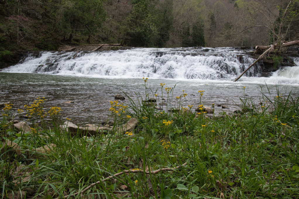
Laurel Fork Falls

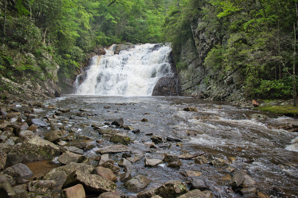
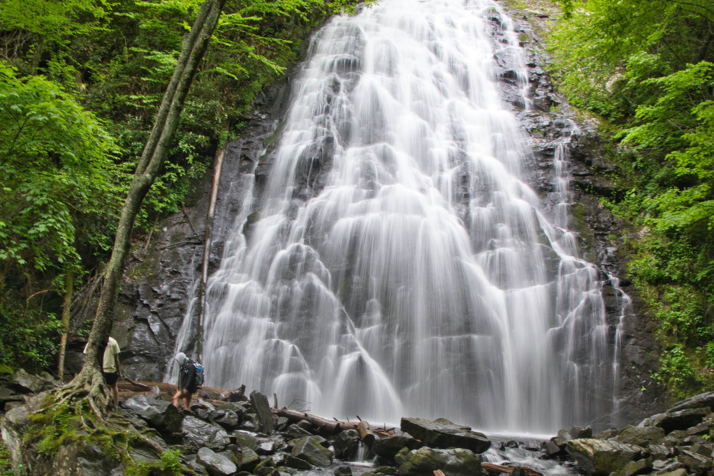
Trail Map: The Hike: There are two hikes on the AT to Laurel Fork Falls—this is the shorter one. The other hike is a bit further north and follows the AT southbound for 2.5 miles. This hike follows the AT northbound. We planned three AT hikes on one day, so we got an early start. […]

Laurel Fork Falls Read More »

Alum Cave Bluff Trail

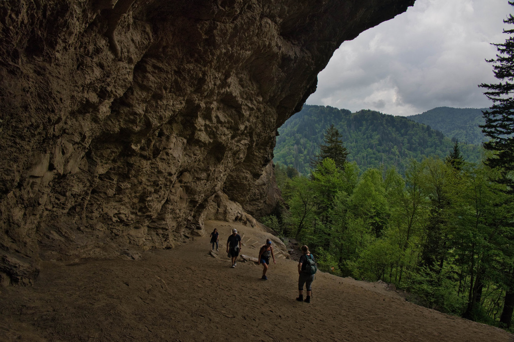
Trail Map: The Hike: We arrived before 8am on a Tuesday in mid-May and parking was filling up quickly. GSMNP charges a $5 per day parking fee. This parking area doesn’t sell parking permits, we purchased one at the Sugarlands Visitor Center. This is a popular hike and parking areas fill up quickly. The trail

Alum Cave Bluff Trail Read More »

Flat Rock

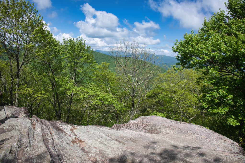
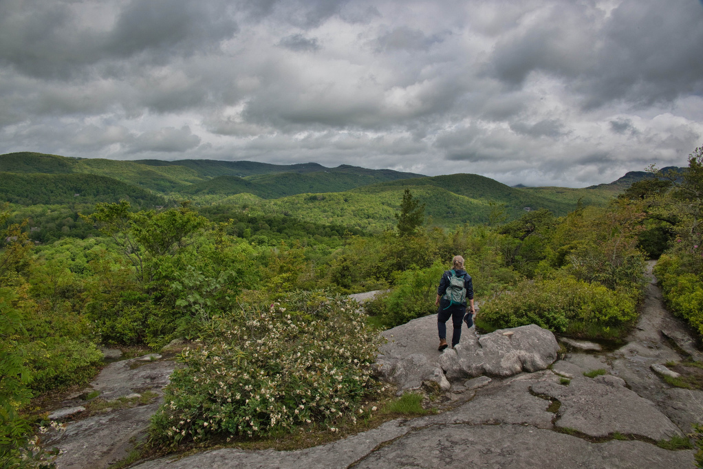
Trail Map: The Hike: This easy, short hike is great for kids of all ages. Flat Rock has great views of the Linville Valley and Grandfather Mountain. Interpretive signs tell the story of the plants, trees, animals, and geological features of the forest.  Hike Photos: Click on an image below for an enlarged view. Beer

Flat Rock Read More »

Rough Ridge on the Tanawha Trail

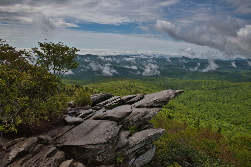
Trail Map: The Hike: This short hike on the Tanawha Trail has some amazing views. It’s rocky and steep, but the views are well worth the effort. The trail leads through a dense thicket of mountain laurel and rhododendron and reaches a boardwalk and wood observation platform. The Rough Ridge Lookout has some of the

Rough Ridge on the Tanawha Trail Read More »

Profile Trail to Calloway Peak

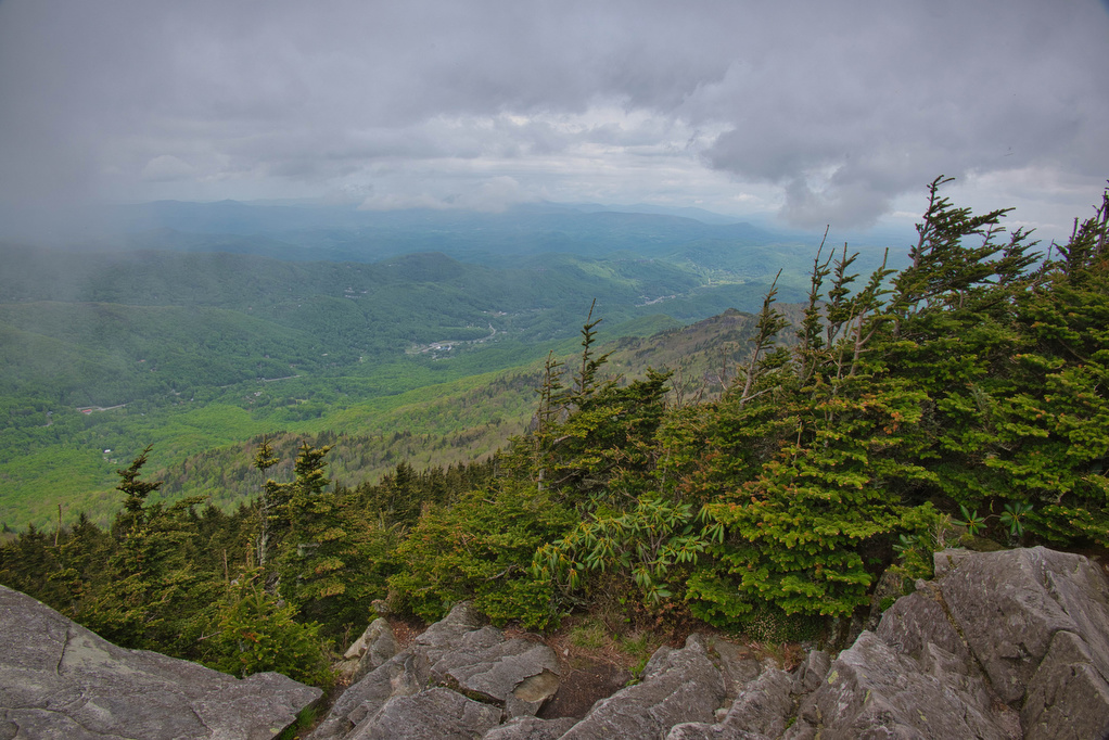
Trail Map: The Hike: Grandfather Mountain has been on our hiking radar for a long time. The hike exceeded all of our expectations. First up: this is not an easy hike. The hike is nearly four steep miles of elevation gain. The rocky trail, switchbacks, 600+ wood and stone steps, rock scrambles, and ladders make

Profile Trail to Calloway Peak Read More »

Big Falls and the Pinnacle

Trail Map: The Hike: This easy trail has nice river and waterfalls views. The trail is well marked and well maintained. The hike begins with a swinging bridge across Big Cedar Creek. The trail soon becomes a wide, gravel path and passes beside the creek. Wildflowers line the trail with numerous nice creek views. Hikers

Big Falls and the Pinnacle Read More »