Shenandoah Inn to Inn: Day 3
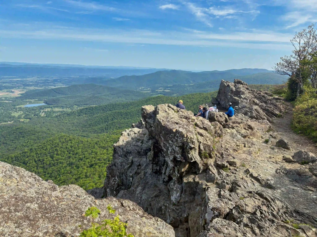
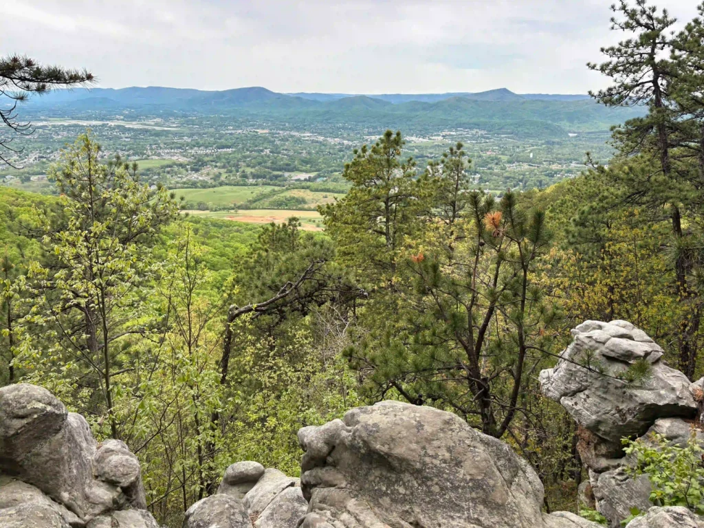
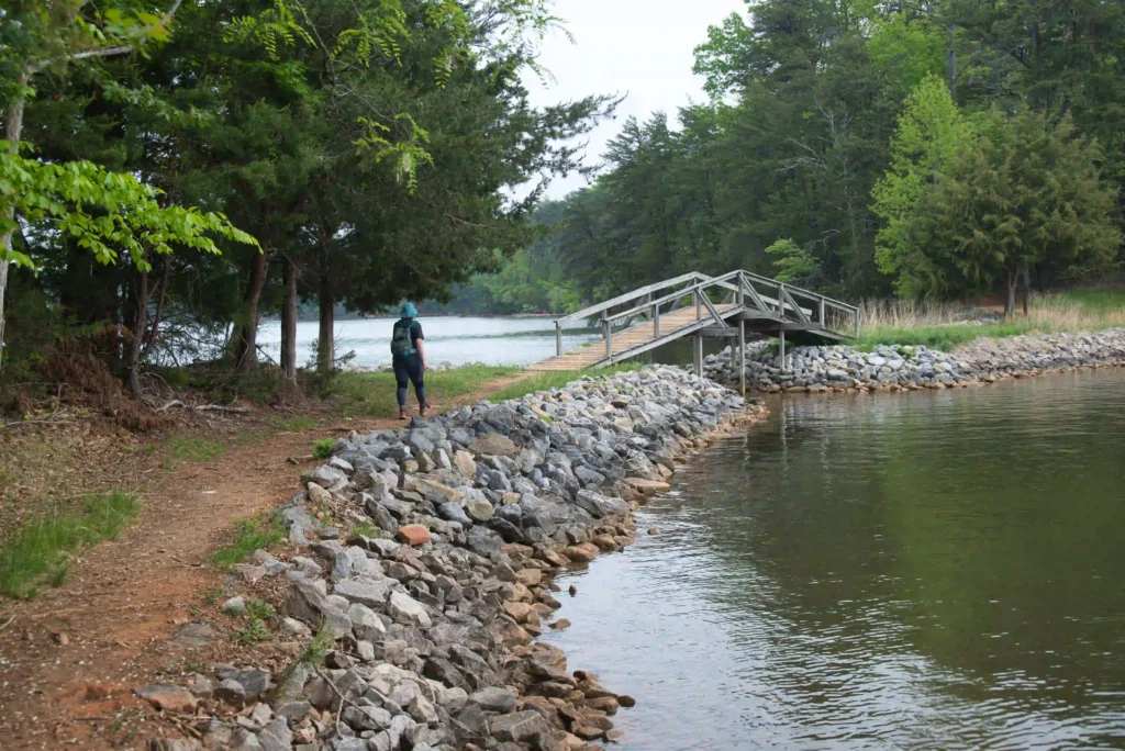
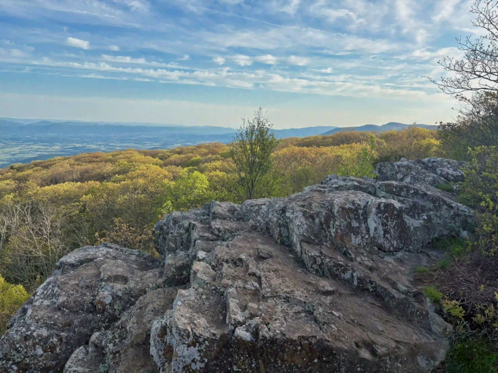
Trail Map: The Hike: Day 3 of our inn to inn hike on the AT in Shenandoah National Park begins at Big Meadows. We arrived at Big Meadows the day before in clouds, rain, and fog and the views from Blackrock were non-existent. We decided to start day 3 with a great view. We followed […]
Shenandoah Inn to Inn: Day 3 Read More »