AT: Cross Mountain & Osborne Farm
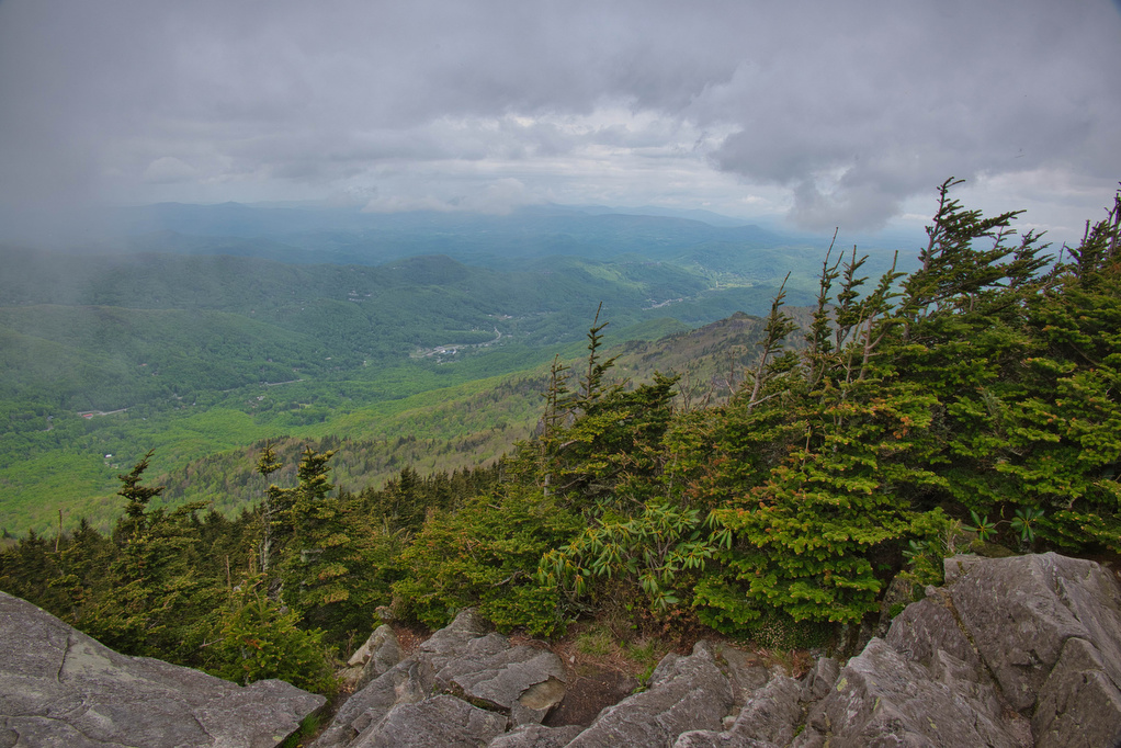
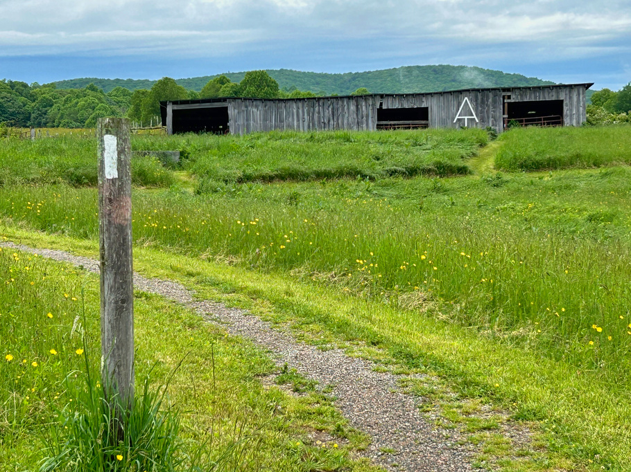
Trail Map: The Hike: This hike is an easy walk on the Appalachian Trail through mountaintop pastures, with scenic views of surrounding mountains. A half-mile section of the trail is ADA compliant and wheelchair accessible. The AT winds through several pasture areas before entering the forest at just under one mile. We were greeted at […]
AT: Cross Mountain & Osborne Farm Read More »