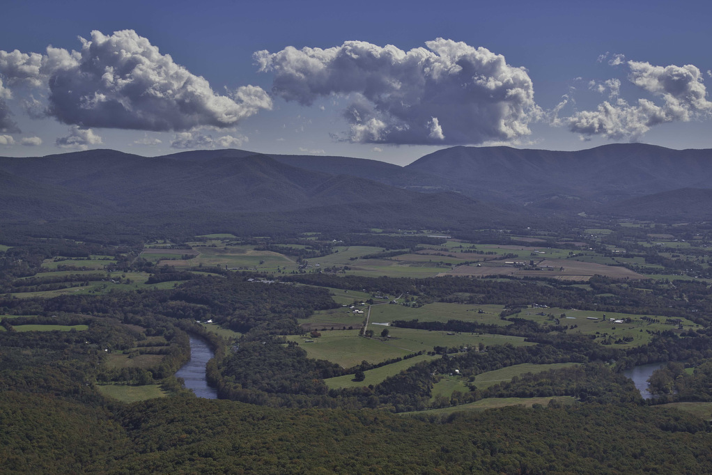
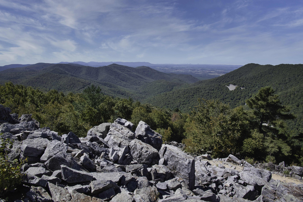
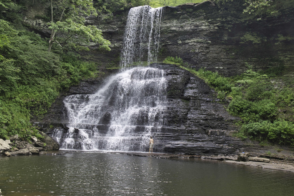
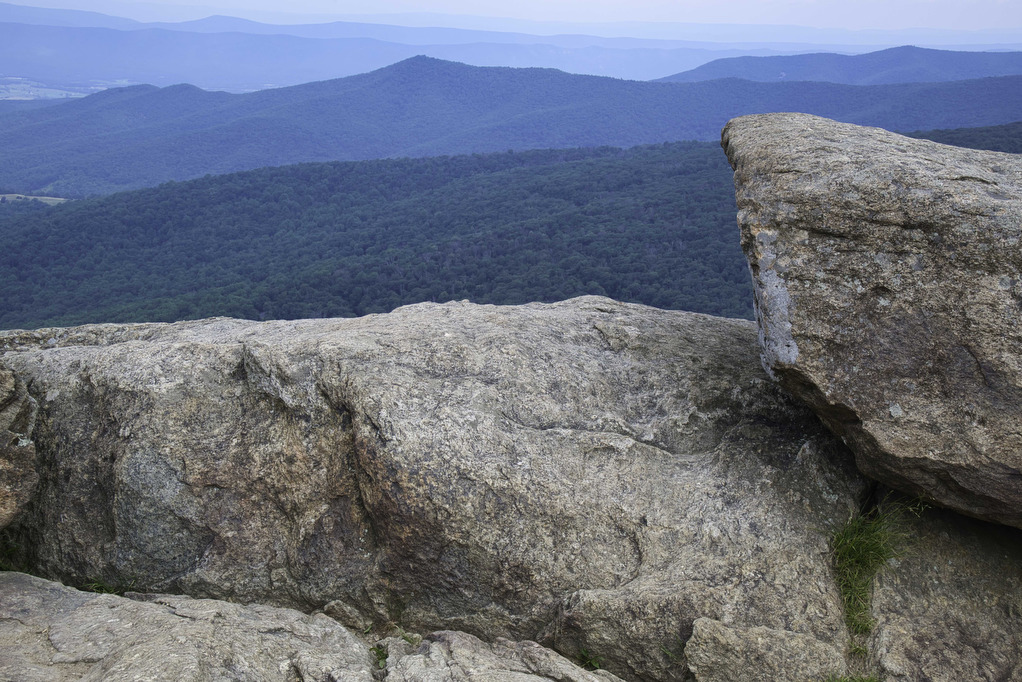
Little Mountain Falls
The Hike: Fairy Stone State Park is one of the original Virginia State Parks from 1936. Stop by the visitor center to pick up a trail map and to learn more about fairy stones. This hike combines several shorter trails so there are numerous junctions. All the trail junctions have signs and the trails are […]
Little Mountain Falls Read More »