Mountains

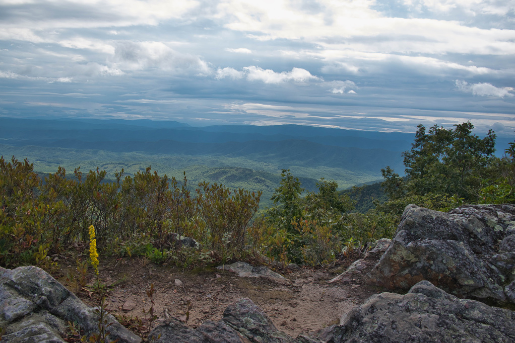
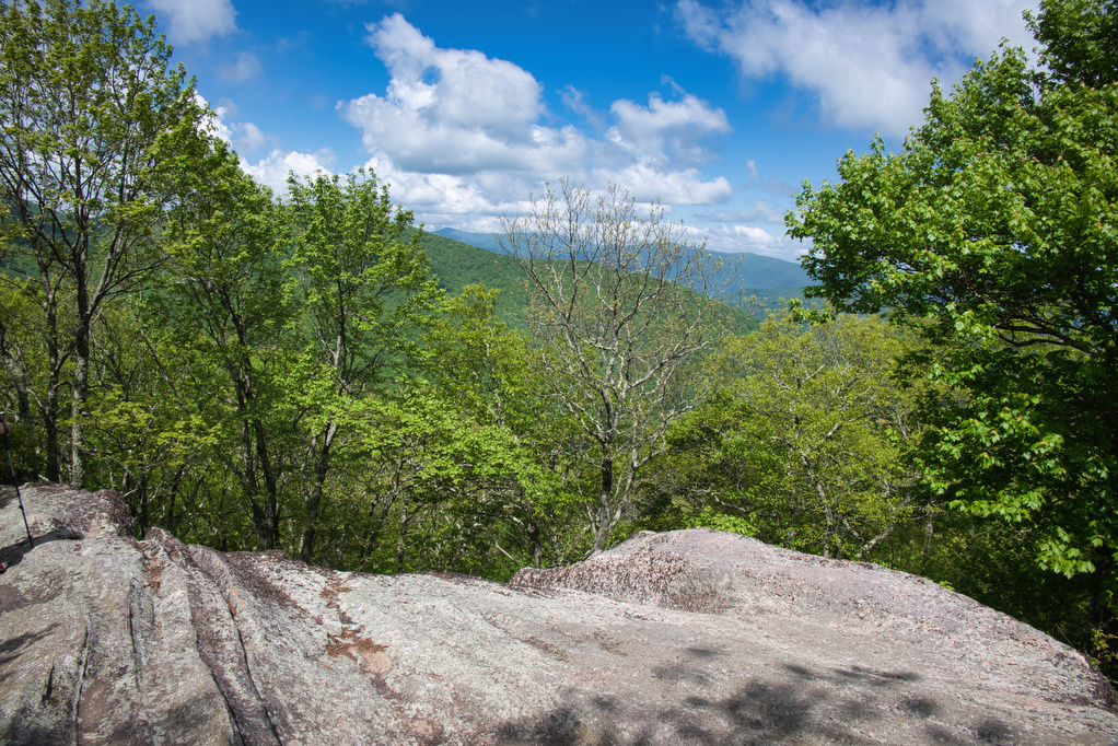
Flat Rock

Trail Map: The Hike: This easy, short hike is great for kids of all ages. Flat Rock has great views of the Linville Valley and Grandfather Mountain. Interpretive signs tell the story of the plants, trees, animals, and geological features of the forest.  Hike Photos: Click on an image below for an enlarged view. Beer […]

Flat Rock Read More »

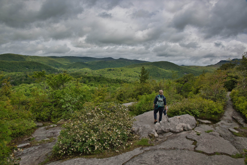
Rough Ridge on the Tanawha Trail

Trail Map: The Hike: This short hike on the Tanawha Trail has some amazing views. It’s rocky and steep, but the views are well worth the effort. The trail leads through a dense thicket of mountain laurel and rhododendron and reaches a boardwalk and wood observation platform. The Rough Ridge Lookout has some of the

Rough Ridge on the Tanawha Trail Read More »

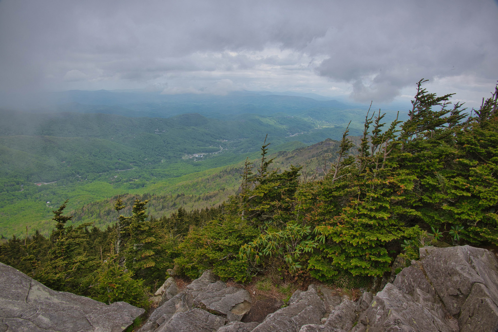
Profile Trail to Calloway Peak

Trail Map: The Hike: Grandfather Mountain has been on our hiking radar for a long time. The hike exceeded all of our expectations. First up: this is not an easy hike. The hike is nearly four steep miles of elevation gain. The rocky trail, switchbacks, 600+ wood and stone steps, rock scrambles, and ladders make

Profile Trail to Calloway Peak Read More »

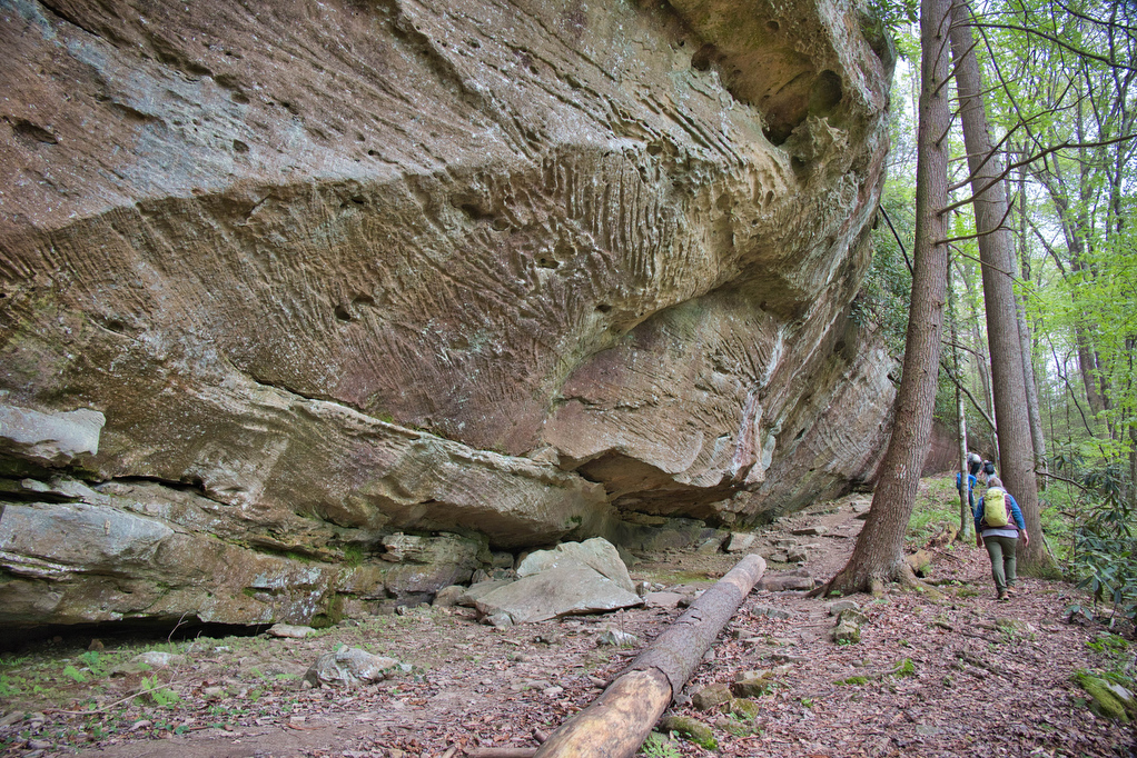
Charit Creek Trail

Trail Map: The Hike: The Charit Creek Trail is a short section of the Sheltowee Trace, a 319-mile National Recreation Trail that spans the Daniel Boone National Forest and Big South Fork National Recreation Area in Kentucky and Tennessee. The trail also leads to Charit Creek Lodge, a rustic and historic wilderness hike-in lodge located

Charit Creek Trail Read More »

Mount Marshall via the AT

Trail Map: The Hike: We were originally planning to do this hike in mid-October for peak foliage views. However, we had too many schedules to coordinate so we hiked on a beautiful day in early November after all the leaves were down. Pete’s sister Nan, our niece Hannah, and nephew Jack joined us on this

Mount Marshall via the AT Read More »

AT & Golden Winged Warbler Loop

Trail Map: The Hike: This is a great hike if you’re looking for solitude along with some great views. We hiked on a rainy Saturday and only encounter three other hikers. The Golden Winged Warbler has experienced a dramatic decrease in population in the past 50 years. Its namesake trail passes through ideal habitat for

AT & Golden Winged Warbler Loop Read More »

Seneca Rocks

Trail Map: The Hike: The rocky summit of Seneca Rocks dominates the landscape. This has been a popular destination for generations. Seneca Rocks National Recreation Area (NRA) contains the highest peak in West Virginia with some of the best rock climbing in the east. This is a very popular destination and the steep trail to

Seneca Rocks Read More »

Beauty Spot

Trail Map: The Hike: Beauty Spot is a popular local destination. The Appalachian Trail passes through this bald summit. However, most visitors drive here over a bumpy dirt road. The day of our hike, the weather wasn’t cooperating. The forecast called for clouds and scattered showers much of the day. We waited for the heavy

Beauty Spot Read More »