fall foliage

North Fork Mountain Section Hike

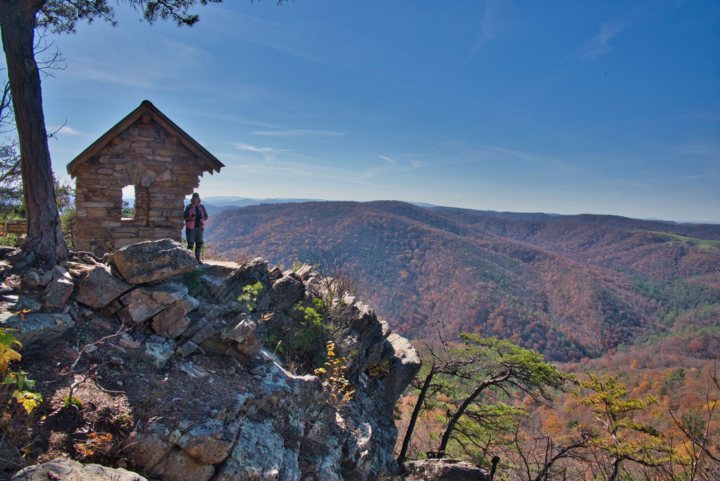
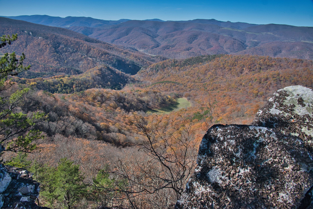
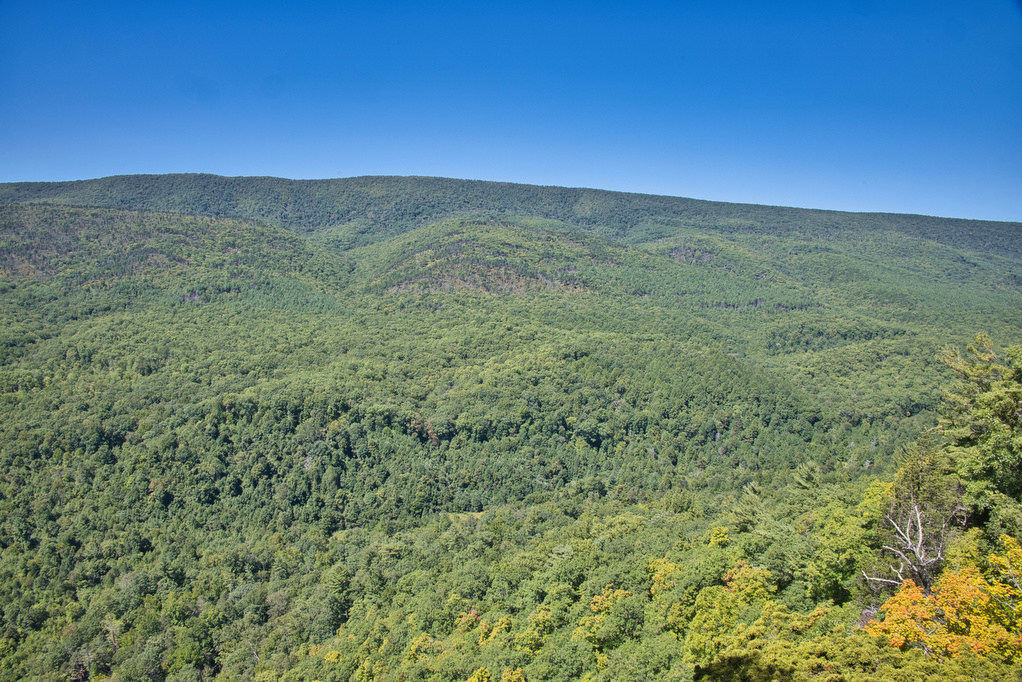
Trail Map: The Hike: The North Fork Mountain Trail (NFMT), Trail 501, is over 24 miles of great views as it passes along a ridge from US 33 at Harmon Rocks to Chimney Top. NFMT has been called the trail of relentless views, and it’s true. A short bushwhack to the west leads to impressive […]

North Fork Mountain Section Hike Read More »

Hanging Rock, Wolf Rock, and Cook’s Wall Loop

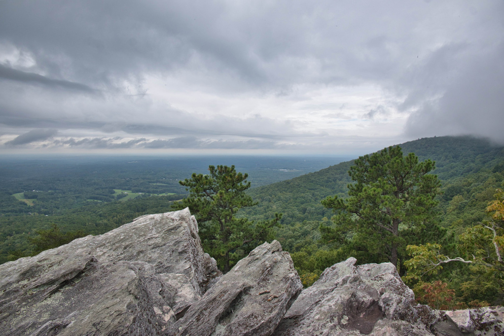
Trail Map: The Hike: This was our first visit to Hanging Rock State Park and we are already planning to return. We hiked on a cloudy day and some of the views were partially covered with clouds. Hanging Rock is famous for waterfalls and amazing views. The park has five vistas and this hike visits

Hanging Rock, Wolf Rock, and Cook’s Wall Loop Read More »

Valley Forge Loop

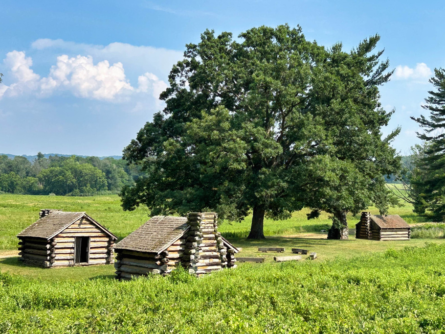
Trail Map: The Hike: This hike combines several trails with numerous trail junctions. We recommend downloading the AllTrails map to help navigate this route. We crossed Route 252 and began our hike counterclockwise on the red-blazed Mount Joy Trail.  The Mount Joy trail loops through the forest and makes a steady, gradual climb past Mount

Valley Forge Loop Read More »

Natural Tunnel State Park

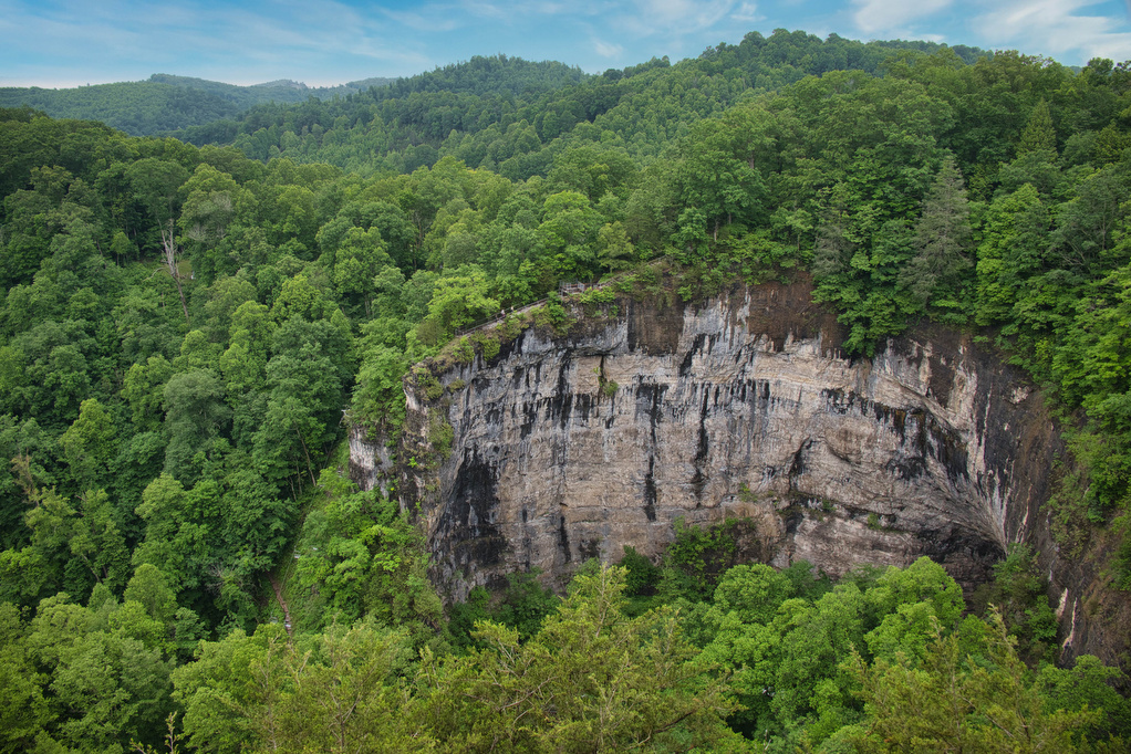
Trail Map: The Hike: Natural Tunnel is one of the six original Virginia State Parks. The park’s trails and facilities were built by the Civilian Conservation Corps in the 1930s. This hike combines two of the park’s most popular (and short) hikes: Tunnel Trail and Lover’s Leap Trail. Both hikes begin and end near the

Natural Tunnel State Park Read More »

Torry Ridge & Sherando Lake Loop

Trail Map: The Hike: This hike packs in a lot in just under ten miles: a waterfalls, mountain views, two lakes, and a ridge line. We hiked over Labor Day weekend so the water levels in the falls were a bit low and peak foliage is still weeks away—but this was still a great hike.

Torry Ridge & Sherando Lake Loop Read More »

Jackson River Gorge-Hidden Valley Loop

Trail Map: The Hike: This hike in the George Washington National Forest is a nice walk in the woods with some nice river views. The trail is marked and maintained; however, there are many interconnecting trails and some of the junctions were confusing. We suggest downloading the AllTrails map in advance as cell service in

Jackson River Gorge-Hidden Valley Loop Read More »

Sunset Rocks & Appalachian Trail

Trail Map: The Hike: We are working our way through the AT—one state at a a time. This loop hike has almost 4 AT miles, passes by the traditional half-way point on the AT, has a half-mile rock scramble, and finishes with some history and ice cream at the state park. The trailhead in Pine

Sunset Rocks & Appalachian Trail Read More »