fall foliage

Prince William Forest Park Loop

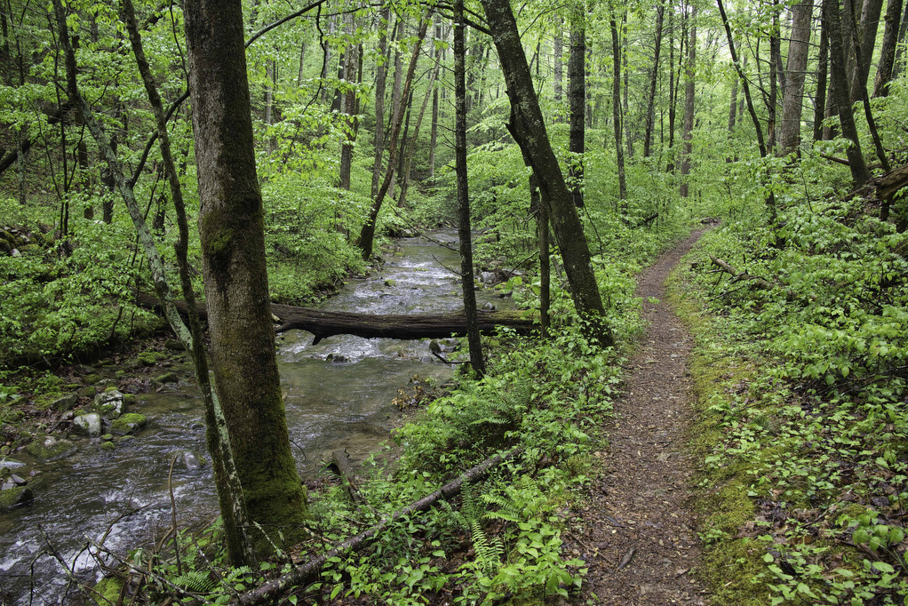
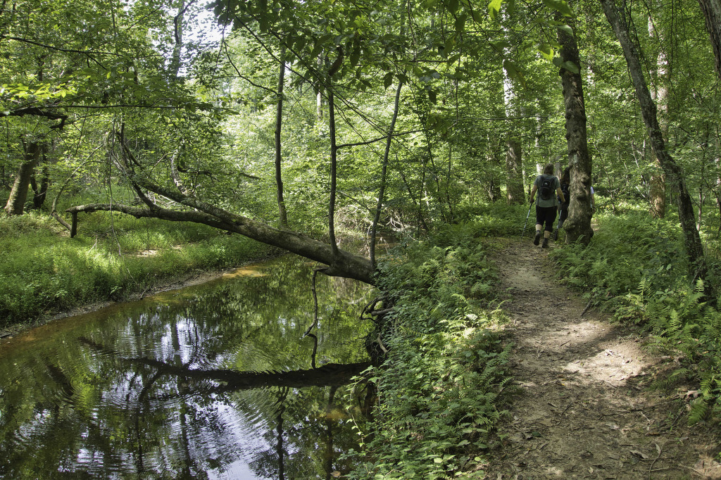
Highlights: Forest and creek views Distance: 7.4 mile loop Elevation Change: 682 feet Trail Surface: dirt with rocky sections Difficulty Level: Moderate/strenuous (distance) Trailhead Parking: Parking area A, B, or C, Scenic Drive, Prince William Forest Park, Triangle VA; park fee required Website: AllTrails and National Park Service Beer Pairings: 2 Silos Brewing Co.—Sir Alucard […]

Prince William Forest Park Loop Read More »

Rice Fields AT Shelter

Highlights: Mountain meadow, AT shelter, great views Distance: 5.2 miles out and back Elevation Change: 1,259 feet Trail Surface: Rocky Difficulty Level: Moderate (rocky surface, elevation gain) Trailhead Parking: From Blacksburg US 460 west, turn left on Route 641, in 1.5 miles turn left on to Pocahontas Road. In 150 yards reach the AT crossing

Rice Fields AT Shelter Read More »

Cascade Falls to Barney’s Wall

Highlights: Waterfalls, Little Stony Creek Gorge, Barney’s Wall Cliff Views Distance: 8.8 miles loop Elevation Change: 1,650 feet Trail Surface: Rocky Difficulty Level: Strenuous (rocky surface, elevation gain) Trailhead Parking: Cascades Day Use Parking Area, route 623 in Pembroke VA; $3 parking fee required Website: AllTrails and Hiking Upward Beer Pairings: Moon Hollow Brewing Co.—Lunatic

Cascade Falls to Barney’s Wall Read More »

Cascade Falls Loop

Highlights: Waterfalls, Little Stony Creek Gorge Distance: 4.0 mile loop Elevation Change: 700 feet Trail Surface: Rocky Difficulty Level: Easy/moderate (rocky surface, elevation gain) Trailhead Parking: Cascades Day Use Parking Area, route 623 in Pembroke VA; $3 parking fee required Website: AllTrails and US Forest Service Beer Pairings: Eastern Divide Brewing Co.—Czech Pilsner & Cliffhanger

Cascade Falls Loop Read More »

Angel’s Rest

Highlights: Appalachian Trail, 2 great views Distance: 5.0 miles out and back Elevation Change: 1,840 feet Trail Surface: Rocky Difficulty Level: Moderate/strenuous (rocky surface, elevation gain) Trailhead Parking: AT Trailhead, Cross Avenue, route 793 Pearisburg VA. From Blacksburg take US 460 west to route 100 south, right on Johnston Ave., first right on route 793,

Angel’s Rest Read More »

Old Rag Circuit

Highlights: Rock scramble, amazing views Distance: 9.4 mile loop Elevation Change: 2,348 feet Trail Surface: Very rocky Difficulty Level: Very strenuous (rock scramble, distance, elevation)  Trailhead Parking: Old Rag parking area, route 600/Nethers Road off route 231 south of Sperryville; park entrance fee required, hike tickets required, see below Website: Shenandoah National Park and AllTrails

Old Rag Circuit Read More »

Long Mountain to Pedlar Lake

Highlights: Appalachian Trail shelter, Brown Mt. Creek, Pedlar Lake Distance: 10.3 miles miles out and back Elevation Change: 1,467 feet Trail Surface: Dirt with several rocky sections and stream crossings Difficulty Level: Strenuous (distance, elevation, multiple stream crossings)  Trailhead Parking: Long Mountain Wayside, US route 60, 10 miles east of Buena Vista VA  Website: AllTrails

Long Mountain to Pedlar Lake Read More »

Buzzard Rock

Highlights: Great views, rocky summit Distance: 4 miles out and back Elevation Change: 631 feet Trail Surface: Very rocky Difficulty Level: Easy/moderate (rocky surface)  Trailhead Parking: Buzzard Rock Trailhead, 3094 Mountain Road, route 619, Lake Frederick VA Website: AllTrails Beer Pairings: PaveMint Smokin’ Taphouse—Lionshead Pilsner & Hazy Tides IPA The Hike: Buzzard Rock is located

Buzzard Rock Read More »

Emerald Pond

Highlights: Great views, mountain pond, Massanutten ridge, fire ant mounds Distance: 8.5 miles out and back Elevation Change: 1,630 feet Trail Surface: Very rocky Difficulty Level: Strenuous (rocky surface, distance, and elevation gain)  Trailhead Parking: Wildflower Trailhead at the site of the former Massanutten Visitor Center, US route 211, 5 miles east of New Market

Emerald Pond Read More »

Big Schloss

Highlights: Panoramic views Distance: 4.5 miles out and back Elevation Change: 978 feet Trail Surface: Very rocky Difficulty Level: Moderate/strenuous (rocky surface and steep climb for initial .7 miles)  Trailhead Parking: Wolf Gap Recreation Area, VA state route 675 Website: US Forest Service and AllTrails Beer Pairings: Woodstock Brewhouse—Seven Bender Pale Ale & Massanutten Stout

Big Schloss Read More »