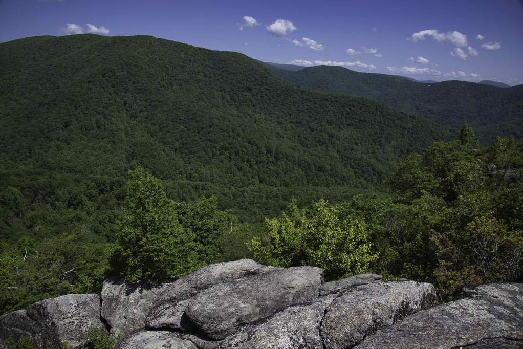
Staunton River Trail to Bear Church Rock
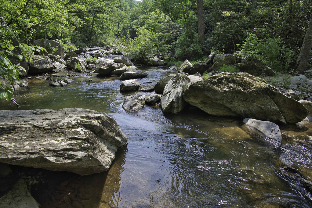
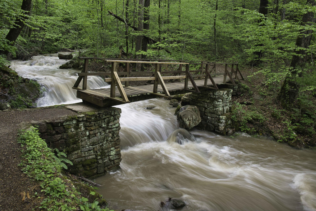
Trail Map: The Hike: We first hiked to Bear Church Rock several years ago from Bootens Gap in Shenandoah National Park. This hike begins just outside the park in Graves Mill. The trail passes beside two rivers as it climbs to Bear Church Rock. This hike combines segments of several trails, so pay attention at […]
Staunton River Trail to Bear Church Rock Read More »