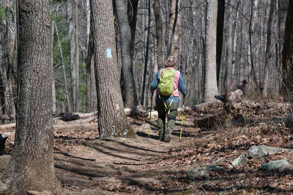
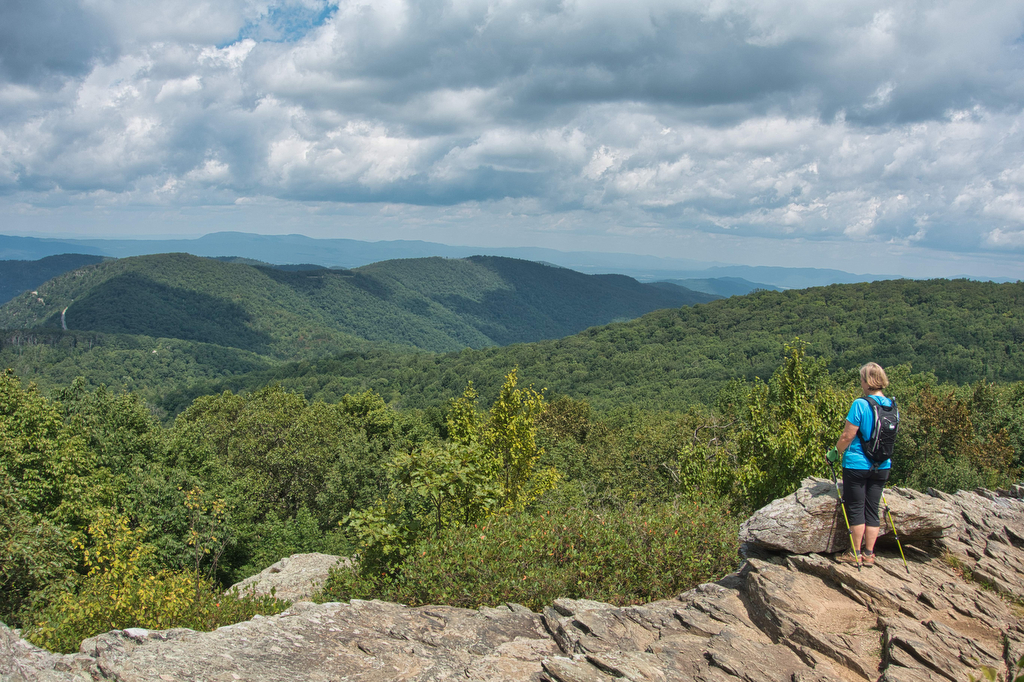
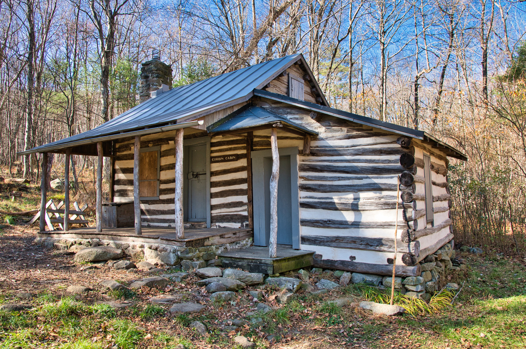
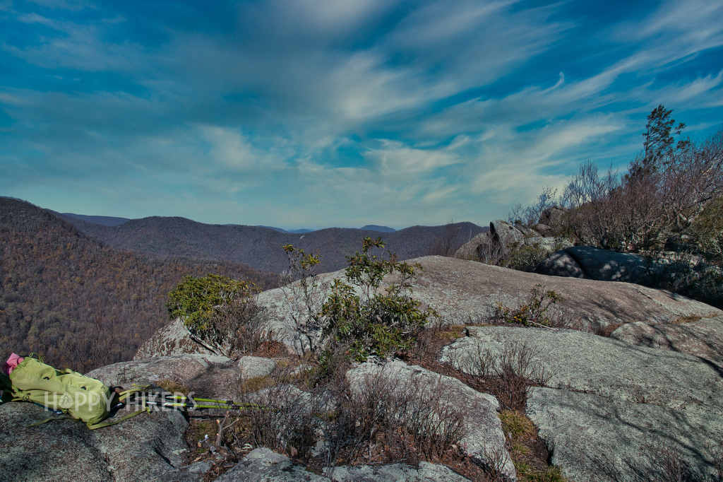
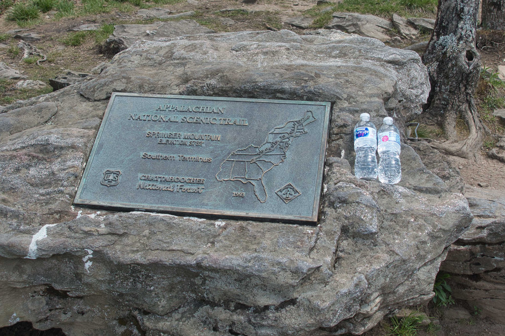
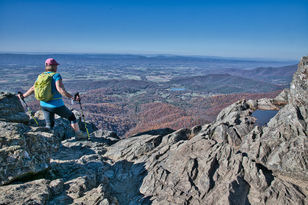
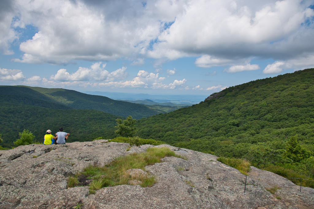
Appalachian Trail

Max Patch

Highlights: mountain views, bald summit, Appalachian Trail Distance:  1.5 mile loop Elevation change:  288 feet Difficulty level: Easy Trailhead Parking: NC State Route 1182 near Hot Springs NC. See link below for directions. The parking area is small with room for about 15 vehicles. Website: US Forest Service Beer Pairings: Wicked Weed Brewing Pernicious IPA […]

Max Patch Read More »

Humpback Rocks

Highlights: mountain views, rocky summit, Appalachian Trail Distance:  3.8 out and back Elevation change:  1,120 feet Difficulty level: Moderate/Strenuous Trailhead Parking: Visitor Center, Blue Ridge Parkway mile 5.8 Website: National Park Service Beer Pairings: Pro Re Nata Brewery, Crozet VA Hop Drone IPA & Tapped Out pilsner The Hike: This popular hike can be crowded

Humpback Rocks Read More »

Grassy Ridge Bald, Jane Bald, and Round Bald on the AT

Highlights: Three bald summits, spectacular views, blaze orange azaleas, Roan Highlands, Appalachian Trail Distance:  4.9 mile out and back Elevation change:  1,030 feet Difficulty level: Moderate Trailhead Parking: Carver’s Gap at the NC/TN state line; Tennessee route 143 and North Carolina route 261 Website: AllTrails Beer Pairings: Sierra Nevada Pale Ale & Dankful IPA The

Grassy Ridge Bald, Jane Bald, and Round Bald on the AT Read More »

Buzzard Rock via the Appalachian Trail

Highlights: mountain views, bald summit, Appalachian Trail Distance:  7.2 mile loop Elevation change:  1,270 feet Difficulty level: Moderate/Strenuous Trailhead Parking: Elk Garden Trailhead parking on route 600/Whitetop Road near Troutville VA Website: AllTrails  Beer Pairings: 7 Dogs Brewpub-High Bridge pale ale & Scottish 80 The Hike: Even though this hike is over 7 miles and has

Buzzard Rock via the Appalachian Trail Read More »

Chestnut Knob

Highlights: Burke’s Garden, views, bald summit, Appalachian Trail Distance:  4.2 mile out and back Elevation change:  1,400 feet Difficulty level: Strenuous Trailhead Parking: From Burke’s Garden General Store on route 623, continue south east for 1.1 miles. Turn left on route 727 and follow for 4 miles until the road becomes a one lane dirt

Chestnut Knob Read More »