Distance

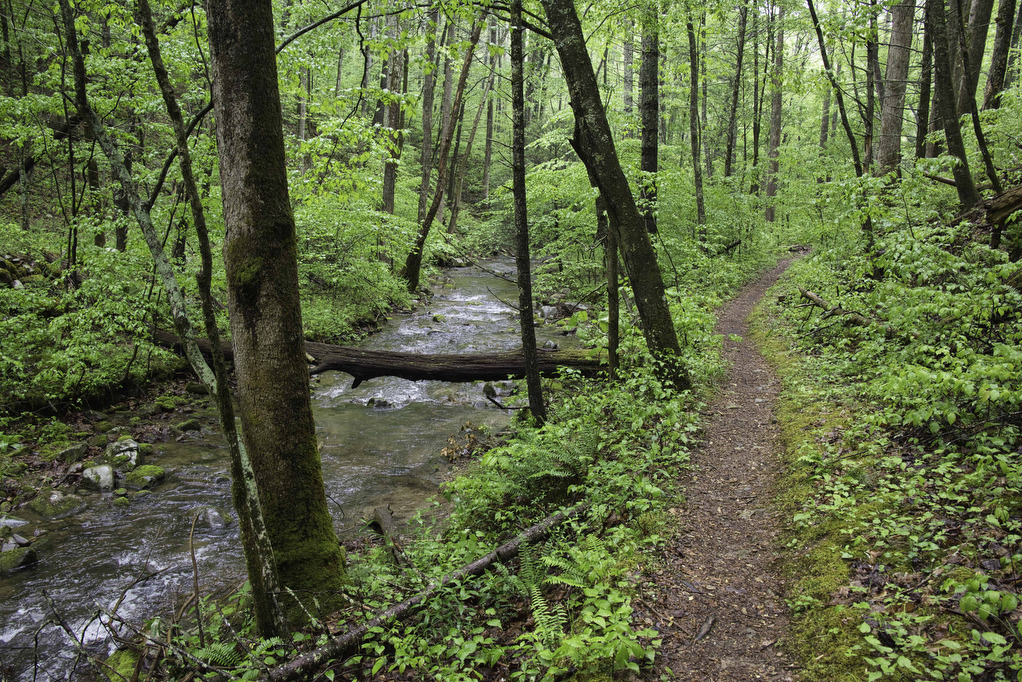
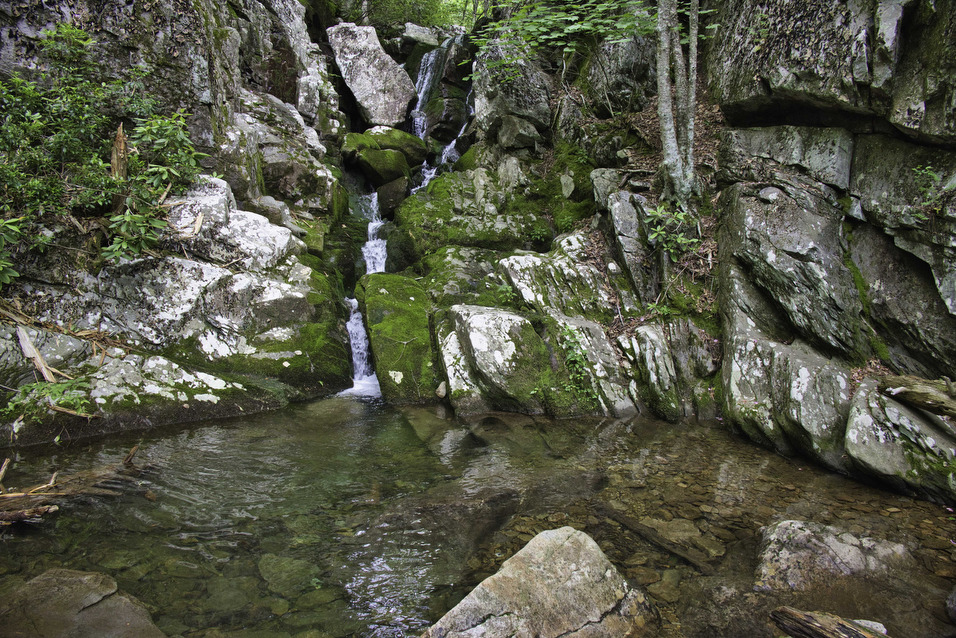
White Rock Falls

Highlights: Waterfalls, mountain views Distance: 4.4 mile loop Elevation Change: 886 feet Trail Surface: Dirt with several rocky sections Difficulty Level: Moderate (elevation)  Trailhead Parking: White Rock Gap parking area, Blue Ridge Parkway mile post 18.5 Website: AllTrails Beer Pairings: Brewing Tree Brewing Co.—Chapter 2 IPA & Flip Flop Pils The Hike: Most people like […]

White Rock Falls Read More »

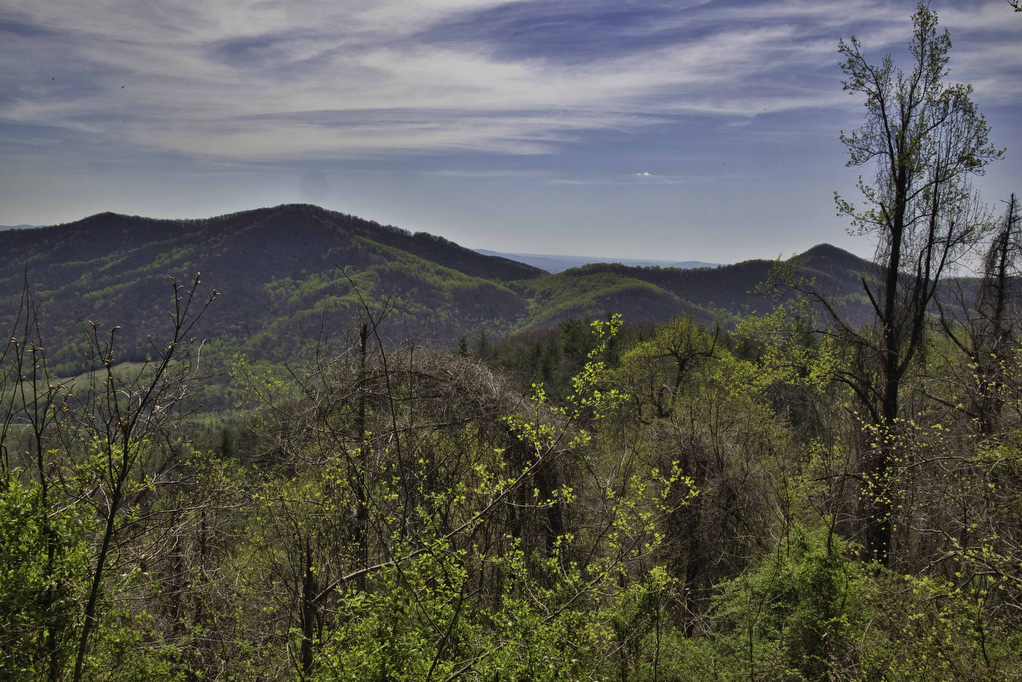
Bluff Mountain

Highlights: Views, Appalachian Trail, wildflowers Distance: 4.2 miles out and back Elevation Change: 1,284 feet Trail Surface: Dirt with several rocky sections Difficulty Level: Moderate (elevation)  Trailhead Parking: Punchbowl Mountain Overlook, Blue Ridge Parkway mile post 51.7 Website: AllTrails Beer Pairings: Heliotrope Brewery—Neahkahnie IPA & Quotidan Pils The Hike: Bluff Mountain is located on the

Bluff Mountain Read More »

Long Mountain to Pedlar Lake

Highlights: Appalachian Trail shelter, Brown Mt. Creek, Pedlar Lake Distance: 10.3 miles miles out and back Elevation Change: 1,467 feet Trail Surface: Dirt with several rocky sections and stream crossings Difficulty Level: Strenuous (distance, elevation, multiple stream crossings)  Trailhead Parking: Long Mountain Wayside, US route 60, 10 miles east of Buena Vista VA  Website: AllTrails

Long Mountain to Pedlar Lake Read More »

Tibbet Knob

Highlights: Great views, rocky summit, rock scramble Distance: 3.3 miles out and back Elevation Change: 865 feet Trail Surface: Very rocky Difficulty Level: Moderate (rocky surface, rock scramble)  Trailhead Parking: Wolf Gap Recreation Area, VA state route 675 Website: AllTrails Beer Pairings: Woodstock Brewhouse—North Fork Golden Ale & Beckford Parish Pale Ale The Hike: This

Tibbet Knob Read More »

Buzzard Rock

Highlights: Great views, rocky summit Distance: 4 miles out and back Elevation Change: 631 feet Trail Surface: Very rocky Difficulty Level: Easy/moderate (rocky surface)  Trailhead Parking: Buzzard Rock Trailhead, 3094 Mountain Road, route 619, Lake Frederick VA Website: AllTrails Beer Pairings: PaveMint Smokin’ Taphouse—Lionshead Pilsner & Hazy Tides IPA The Hike: Buzzard Rock is located

Buzzard Rock Read More »

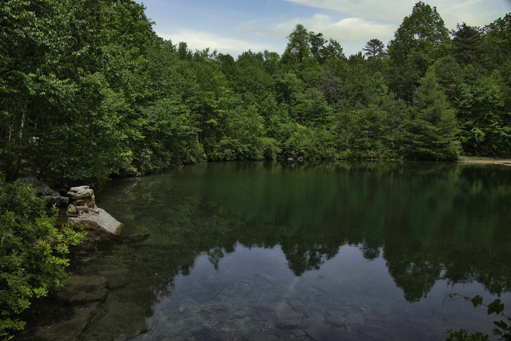
Emerald Pond

Highlights: Great views, mountain pond, Massanutten ridge, fire ant mounds Distance: 8.5 miles out and back Elevation Change: 1,630 feet Trail Surface: Very rocky Difficulty Level: Strenuous (rocky surface, distance, and elevation gain)  Trailhead Parking: Wildflower Trailhead at the site of the former Massanutten Visitor Center, US route 211, 5 miles east of New Market

Emerald Pond Read More »

Big Schloss

Highlights: Panoramic views Distance: 4.5 miles out and back Elevation Change: 978 feet Trail Surface: Very rocky Difficulty Level: Moderate/strenuous (rocky surface and steep climb for initial .7 miles)  Trailhead Parking: Wolf Gap Recreation Area, VA state route 675 Website: US Forest Service and AllTrails Beer Pairings: Woodstock Brewhouse—Seven Bender Pale Ale & Massanutten Stout

Big Schloss Read More »

Big Devil Stairs

Highlights: AT shelter, mountain and gorge views Distance: 7.5 miles out and back Elevation change: 1,237 feet Difficulty level: Strenuous Trailhead Parking: Keyser Run parking area, Skyline Drive mile post 19.4, park entrance fee required Website: AllTrails Beer Pairings: Tap 29—Are We There Yet? IPA & Pit Stop Pilsner The Hike: Big Devil Stairs is

Big Devil Stairs Read More »

Dobie Mountain & Jack Albright Loop

Highlights: AT shelter,streams, mountain views Distance: 6.7 mile loop Elevation change: 1,301 feet Difficulty level: Moderate/strenuous Trailhead Parking: Humpback Rocks Parking Area, Blue Ridge Parkway, mile post 6 Website: National Park Service and AllTrails Beer Pairings: Basic City 6th Lord IPA & Brother’s Skyline Falls IPA The Hike: This hike begins at the Humpback Rocks

Dobie Mountain & Jack Albright Loop Read More »

Little Flat Mountain

Highlights: Wildflowers, streams, mountain views Distance: 4.5 mile loop Elevation change: 1,263 feet Difficulty level: Moderate/strenuous Trailhead Parking: Patricia Ann Byrom Forest Preserve Park, 6610 Blackwells Hollow Road, Crozet, VA  Website: Albemarle County and AllTrails Beer Pairings: Skipping Rock Beer Co. Amber Lager & Bell’s Brewery Two Hearted Ale The Hike: This fun hike is

Little Flat Mountain Read More »