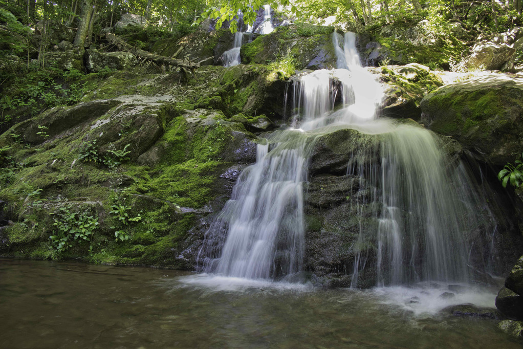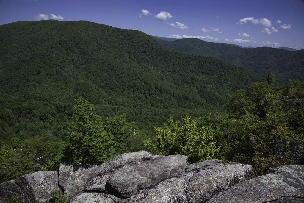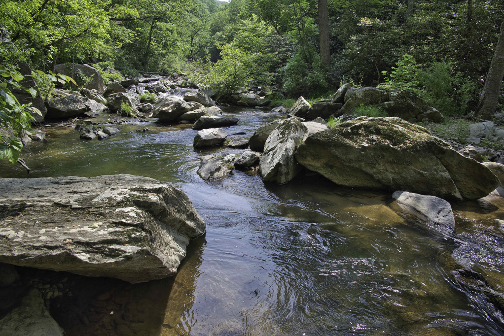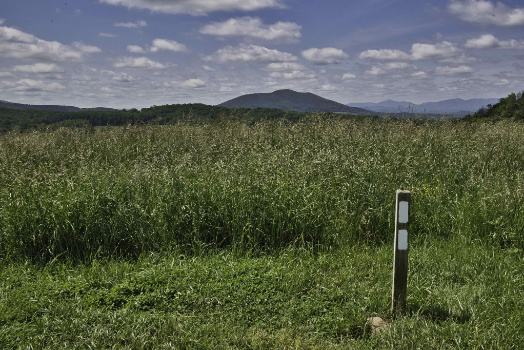
Big Hump & Little Hump Balds
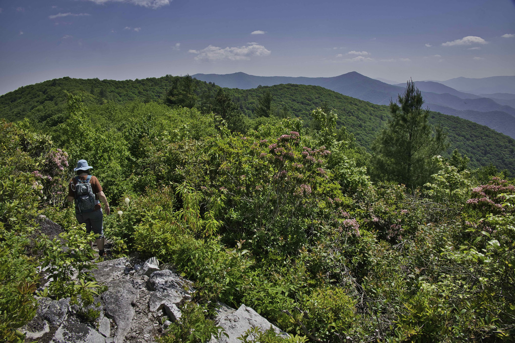
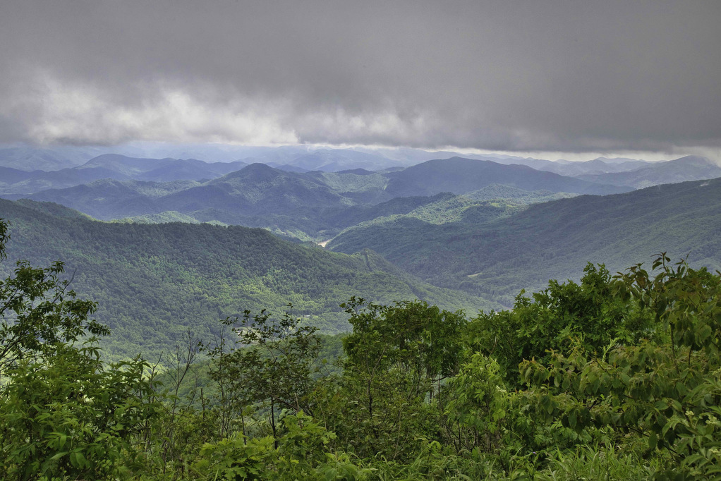
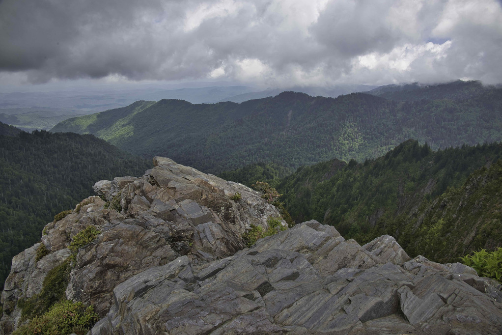
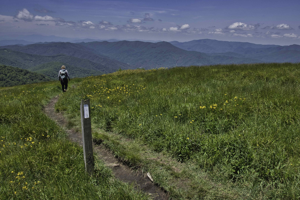
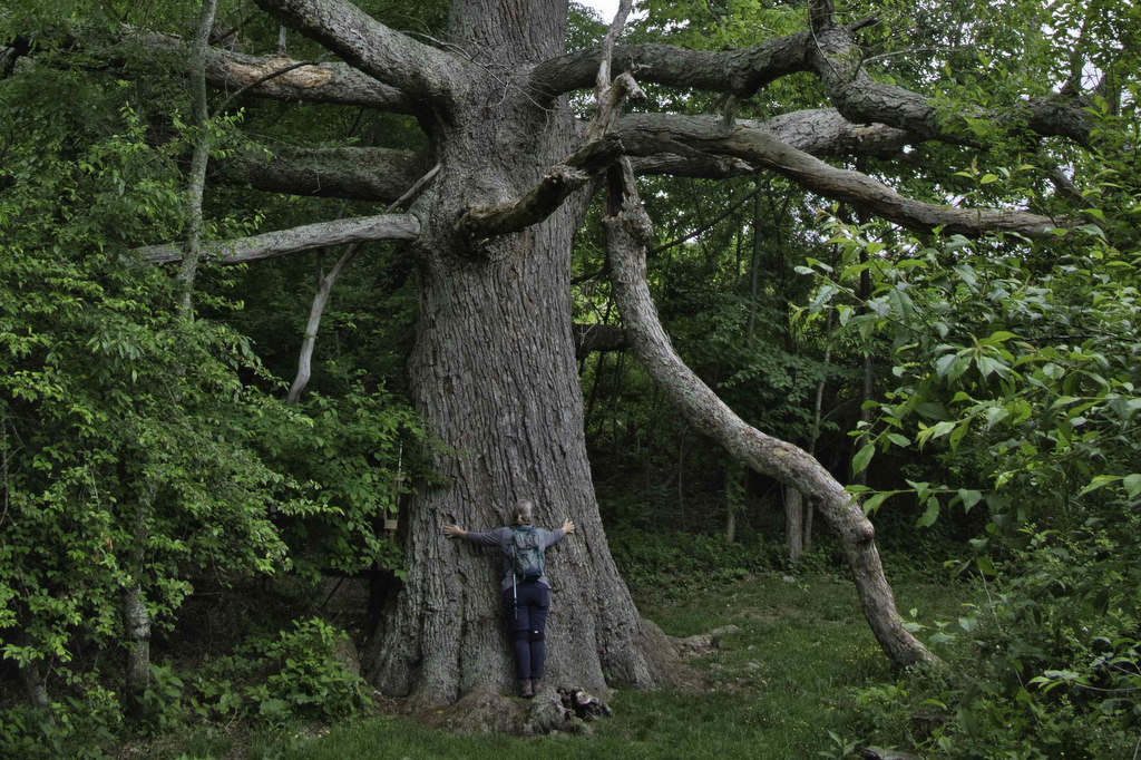
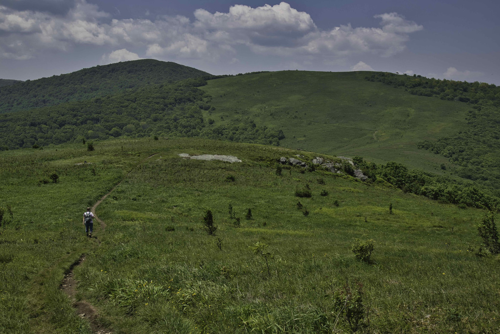
Trail Map: The Hike: This Appalachian Trail section hike reaches two bald summits—Little Hump and Big Hump. The road to the trailhead is gravel/dirt for the last two miles or so. There are some deep ruts and washed-out areas. Our AWD Subaru had no problem. The parking area is on the left, a gate blocks […]
Big Hump & Little Hump Balds Read More »