National Forest

Jackson River Gorge-Hidden Valley Loop

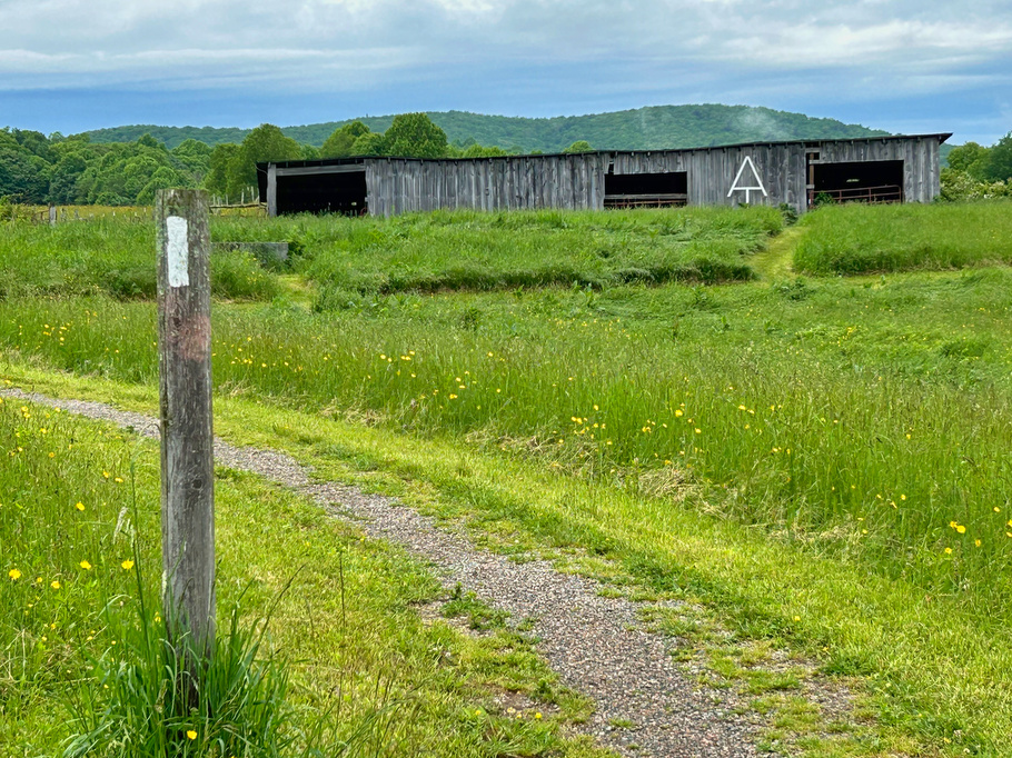
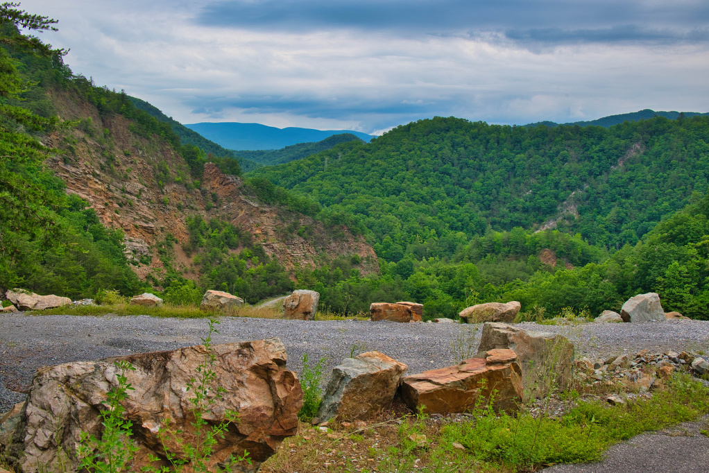
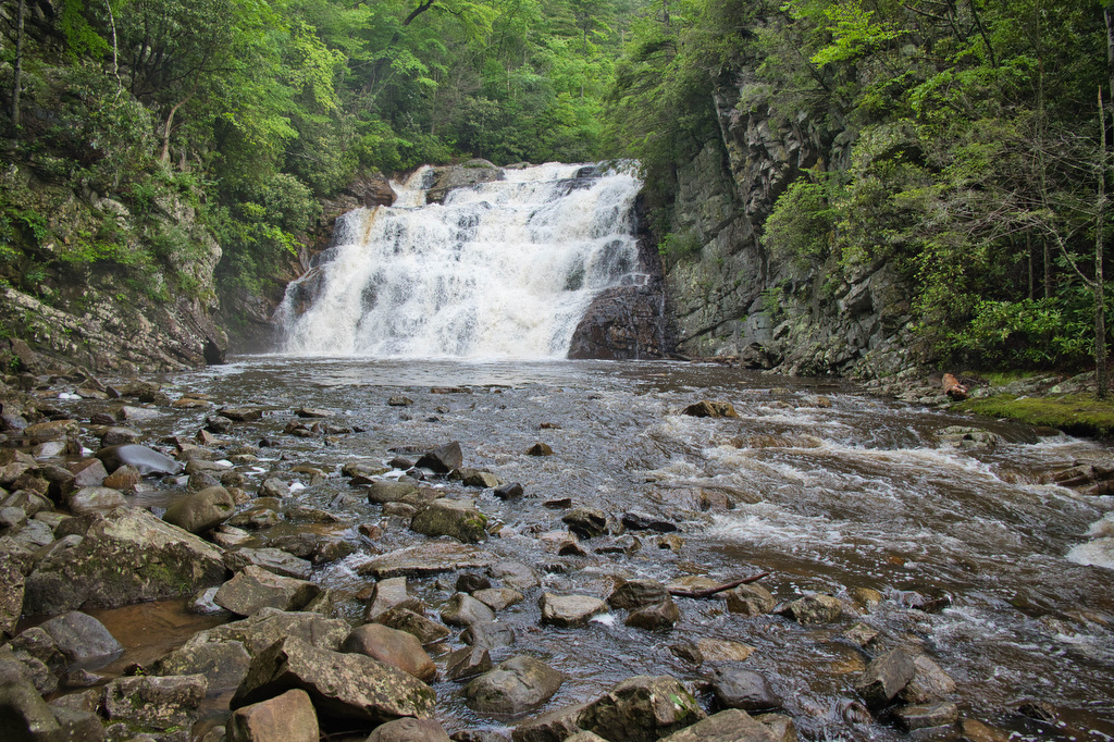
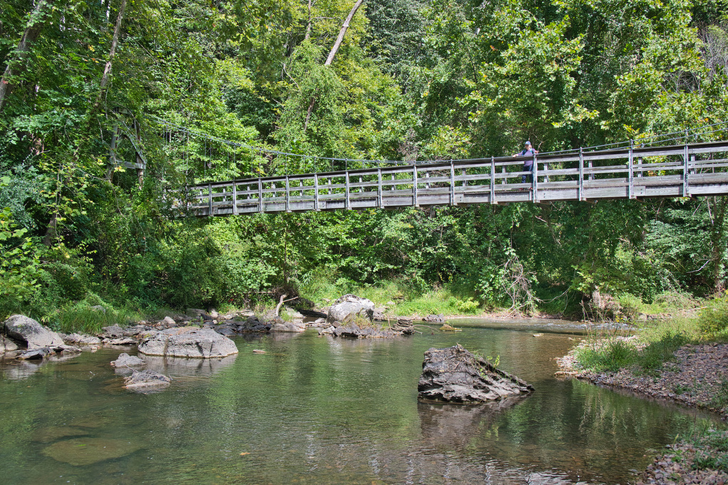
Trail Map: The Hike: This hike in the George Washington National Forest is a nice walk in the woods with some nice river views. The trail is marked and maintained; however, there are many interconnecting trails and some of the junctions were confusing. We suggest downloading the AllTrails map in advance as cell service in […]

Jackson River Gorge-Hidden Valley Loop Read More »

AT: Cross Mountain & Osborne Farm

Trail Map: The Hike: This hike is an easy walk on the Appalachian Trail through mountaintop pastures, with scenic views of surrounding mountains. A half-mile section of the trail is ADA compliant and wheelchair accessible. The AT winds through several pasture areas before entering the forest at just under one mile.  We were greeted at

AT: Cross Mountain & Osborne Farm Read More »

Watauga Lake & Dam

Trail Map: This is a nice walk in the woods on the AT with some decent mountain and lake views. The AT crosses over the Watauga Dam which spans the Watauga River Gorge. The AT enters the Shook Branch Recreation Area near the beach. Follow the AT northbound through a hardwood forest with several nice

Watauga Lake & Dam Read More »

Laurel Fork Falls

Trail Map: The Hike: There are two hikes on the AT to Laurel Fork Falls—this is the shorter one. The other hike is a bit further north and follows the AT southbound for 2.5 miles. This hike follows the AT northbound. We planned three AT hikes on one day, so we got an early start.

Laurel Fork Falls Read More »

Rocky Knob in Dolly Sods

Trail Map: The Hike: Dolly Sods is well known for its unique ecosystem and for muddy trails. On our early May hike, we were lucky as the famous mud didn’t materialize due to a few weeks of dry weather. This hike combines three trails: trail 522 Bear Rocks, trail 521 Raven Ridge, and trail 524

Rocky Knob in Dolly Sods Read More »

Devil’s Bathtub

Trail Map: The Hike: Devil’s Bathtub has become a popular bucket list hike. Parking has been always been a problem. The trailhead is located at the end of Forest Road 619—a single lane dirt road. To address parking issues, Scott County created a large parking area (with restrooms) on county road 619, about 1 mile

Devil’s Bathtub Read More »

AT, Wilburn Ridge & Crest Loop

Trail Map: The Hike: This fantastic hike has a little bit of everything: sweeping vistas, wild ponies, free range cattle, rhododendrons, rock scrambles, stream crossings, and dense forests. It’s one of our all-time favorites. The trails are well marked and well maintained. Several trails are combined to form this loop so download the AllTrails map

AT, Wilburn Ridge & Crest Loop Read More »

Seneca Creek Trail

Trail Map: The Hike: Our friends Ashley and Shelby hiked along Seneca Creek as part of a multi-day backpacking trip and their rave reviews prompted us to add this hike to our list. And we’re glad we did. This hike has a lot to offer: streams, wildflowers, waterfalls, meadows, and mountain views. Located in the

Seneca Creek Trail Read More »