National Forest

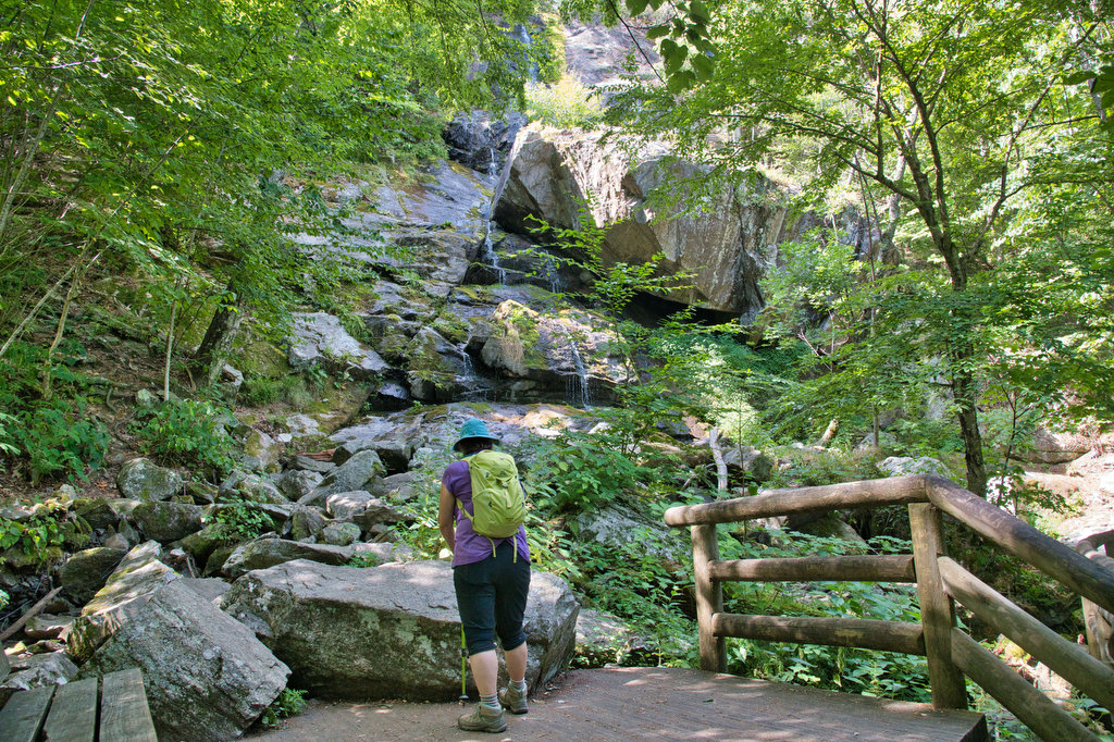
White Rock Falls

Highlights: Waterfalls, mountain views Distance: 4.4 mile loop Elevation Change: 886 feet Trail Surface: Dirt with several rocky sections Difficulty Level: Moderate (elevation)  Trailhead Parking: White Rock Gap parking area, Blue Ridge Parkway mile post 18.5 Website: AllTrails Beer Pairings: Brewing Tree Brewing Co.—Chapter 2 IPA & Flip Flop Pils The Hike: Most people like […]

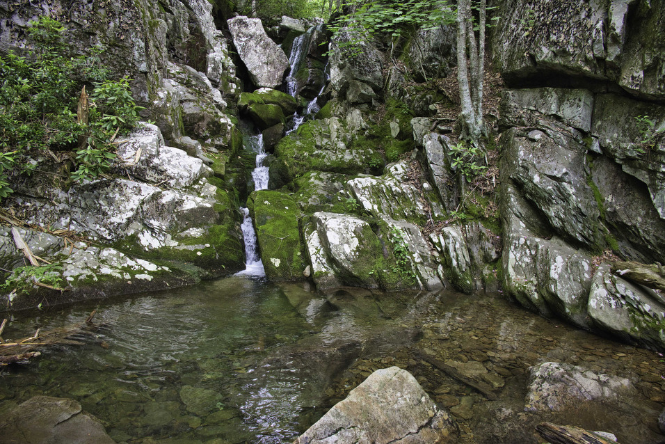
White Rock Falls Read More »

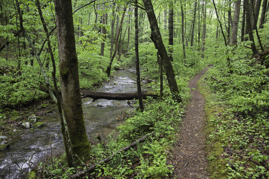
Long Mountain to Pedlar Lake

Highlights: Appalachian Trail shelter, Brown Mt. Creek, Pedlar Lake Distance: 10.3 miles miles out and back Elevation Change: 1,467 feet Trail Surface: Dirt with several rocky sections and stream crossings Difficulty Level: Strenuous (distance, elevation, multiple stream crossings)  Trailhead Parking: Long Mountain Wayside, US route 60, 10 miles east of Buena Vista VA  Website: AllTrails

Long Mountain to Pedlar Lake Read More »

Tibbet Knob

Highlights: Great views, rocky summit, rock scramble Distance: 3.3 miles out and back Elevation Change: 865 feet Trail Surface: Very rocky Difficulty Level: Moderate (rocky surface, rock scramble)  Trailhead Parking: Wolf Gap Recreation Area, VA state route 675 Website: AllTrails Beer Pairings: Woodstock Brewhouse—North Fork Golden Ale & Beckford Parish Pale Ale The Hike: This

Tibbet Knob Read More »

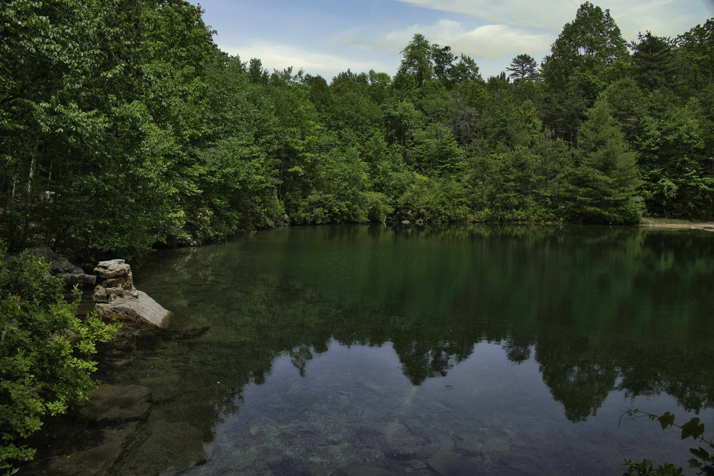
Emerald Pond

Highlights: Great views, mountain pond, Massanutten ridge, fire ant mounds Distance: 8.5 miles out and back Elevation Change: 1,630 feet Trail Surface: Very rocky Difficulty Level: Strenuous (rocky surface, distance, and elevation gain)  Trailhead Parking: Wildflower Trailhead at the site of the former Massanutten Visitor Center, US route 211, 5 miles east of New Market

Emerald Pond Read More »

Big Schloss

Highlights: Panoramic views Distance: 4.5 miles out and back Elevation Change: 978 feet Trail Surface: Very rocky Difficulty Level: Moderate/strenuous (rocky surface and steep climb for initial .7 miles)  Trailhead Parking: Wolf Gap Recreation Area, VA state route 675 Website: US Forest Service and AllTrails Beer Pairings: Woodstock Brewhouse—Seven Bender Pale Ale & Massanutten Stout

Big Schloss Read More »

Crabtree Falls to The Priest

Highlights: Views, wildflowers, wildlife, waterfalls, Appalachian Trail Distance: 10.5 miles out and back Elevation change: 2,570 feet Difficulty level: Strenuous Trailhead Parking: Crabtree Falls Trailhead parking area, Route 56, Tyro VA, $3 parking fee Website: AllTrails Beer Pairings: Blue Mountain Barrel House—Red Zeppelin Red IPA & Classic Lager The Hike: The Priest is a famous

Crabtree Falls to The Priest Read More »

Dragon’s Tooth

Highlights: Great views, Appalachian Trail, rock scrambles, wildflowers, Triple Crown Distance: 5.5 miles loop Elevation change: 1,340 feet Difficulty level: Strenuous Trailhead Parking: Dragon’s Tooth Trailhead, route 311 Website: Visit Roanoke and Hiking Upward  Beer Pairings: A Few Old Goats Brewing—Oatmeal Stout & Galactic Retribution IPA  The Hike: Dragon’s Tooth was our 3rd Triple Crown

Dragon’s Tooth Read More »

Apple Orchard Falls

Highlights: Waterfalls, rock formations, wildflowers, wildlife Distance: 2.8 miles out and back Elevation change: 995 feet Difficulty level: Easy/Moderate Trailhead Parking: Sunset Fields parking area, milepost 78.4 on the Blue Ridge Parkway Website: US Forest Service Beer Pairings: Peaks of Otter Lodge—Free Verse IPA & Gold Lager The Hike: Apple Orchard Falls is a popular

Apple Orchard Falls Read More »

Devil’s Marbleyard

Highlights: Amazing rock scramble and great views Distance: 3.8 miles out and back Elevation change: 1,150 feet Difficulty level: Moderate/Strenuous Trailhead Parking: VA 781 (Petites Gap Road) small parking area at Belfast Trailhead, 4.5 miles south of Blue Ridge Parkway Website: US Forest Service Beer Pairings: Great Valley Farm Brewery—IPA & Coffee Stout The Hike:

Devil’s Marbleyard Read More »

Mount Pleasant Loop

Highlights: Great views, rocky summit, stream crossings, wildflowers, wildlife Distance: 6.0 mile loop Elevation change: 1,270 feet Difficulty level: Strenuous Trailhead Parking: Wiggins Springs Road, route 755, becomes Hog Camp Gap Road (Fire Road 48). Continue past the first parking area at Hog Camp Gap for .25 miles. Bear right park near the trailhead kiosk,

Mount Pleasant Loop Read More »