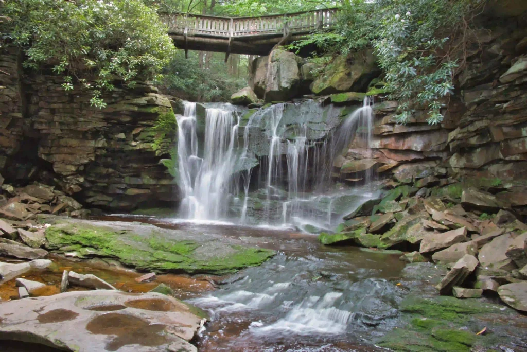
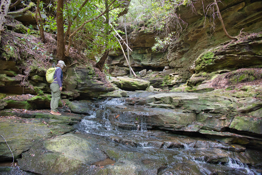
Waterfall

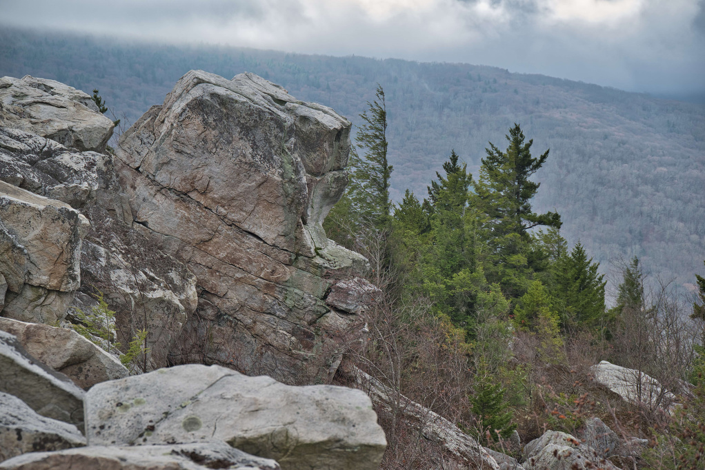
Dolly Sods: Lion’s Head Rocks

Trail Map: The Hike: This is our third visit to Dolly Sods Wilderness. The unique ecosystem of Dolly Sods consists of rocky plains, upland bogs, heaths, and sweeping vistas. This area seems more like Canada than West Virginia. Dolly Sods is famous for great views, mud, and rocks. The trails are unmarked and downloading a trail […]

Dolly Sods: Lion’s Head Rocks Read More »

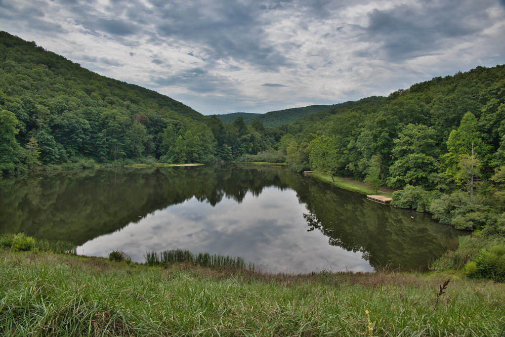
Torry Ridge & Sherando Lake Loop

Trail Map: The Hike: This hike packs in a lot in just under ten miles: a waterfalls, mountain views, two lakes, and a ridge line. We hiked over Labor Day weekend so the water levels in the falls were a bit low and peak foliage is still weeks away—but this was still a great hike.

Torry Ridge & Sherando Lake Loop Read More »

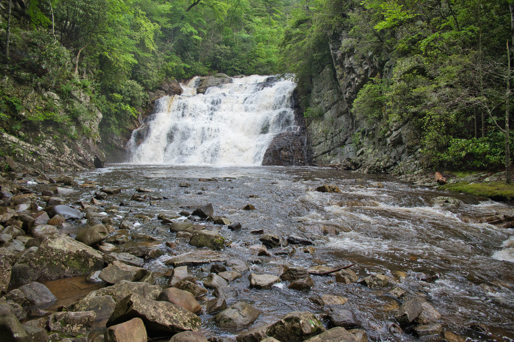
Laurel Fork Falls

Trail Map: The Hike: There are two hikes on the AT to Laurel Fork Falls—this is the shorter one. The other hike is a bit further north and follows the AT southbound for 2.5 miles. This hike follows the AT northbound. We planned three AT hikes on one day, so we got an early start.

Laurel Fork Falls Read More »

Big Falls and the Pinnacle

Trail Map: The Hike: This easy trail has nice river and waterfalls views. The trail is well marked and well maintained. The hike begins with a swinging bridge across Big Cedar Creek. The trail soon becomes a wide, gravel path and passes beside the creek. Wildflowers line the trail with numerous nice creek views. Hikers

Big Falls and the Pinnacle Read More »

Honey Creek Loop

Trail Map: The Hike: This technical hike has a little bit over everything, waterfalls, stream crossings, rock scrambles, wildflowers, views, and caves. It has been described on AllTrails as “the hikiest hike I’ve ever hiked” and we agree!! Navigating this hike can be challenging. The trail is well marked; however, it winds over, under, and

Honey Creek Loop Read More »

Devil’s Bathtub

Trail Map: The Hike: Devil’s Bathtub has become a popular bucket list hike. Parking has been always been a problem. The trailhead is located at the end of Forest Road 619—a single lane dirt road. To address parking issues, Scott County created a large parking area (with restrooms) on county road 619, about 1 mile

Devil’s Bathtub Read More »