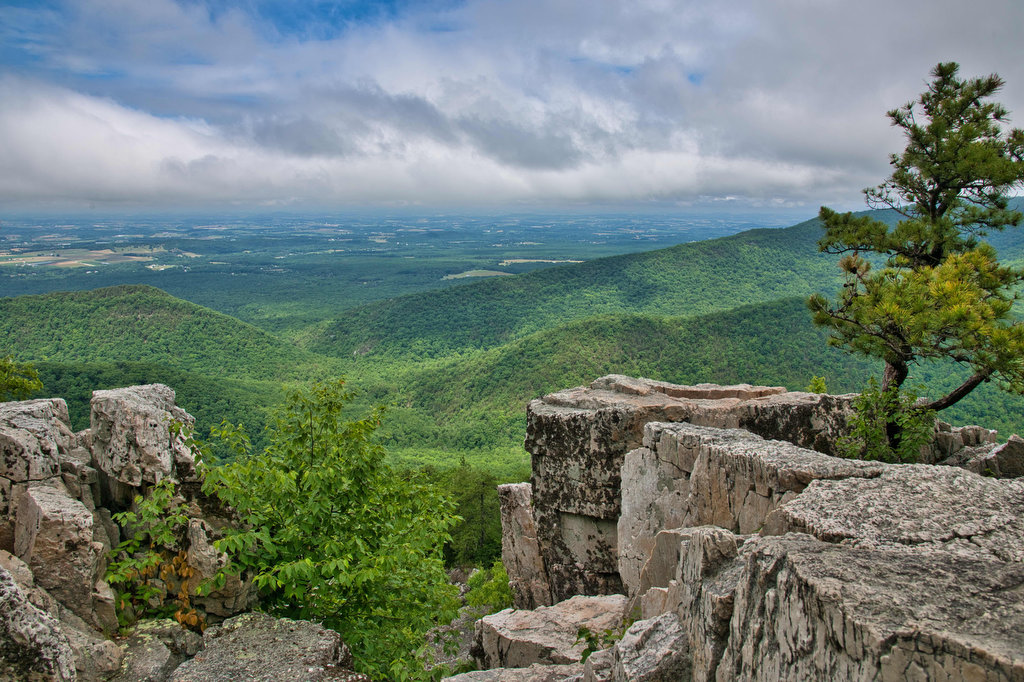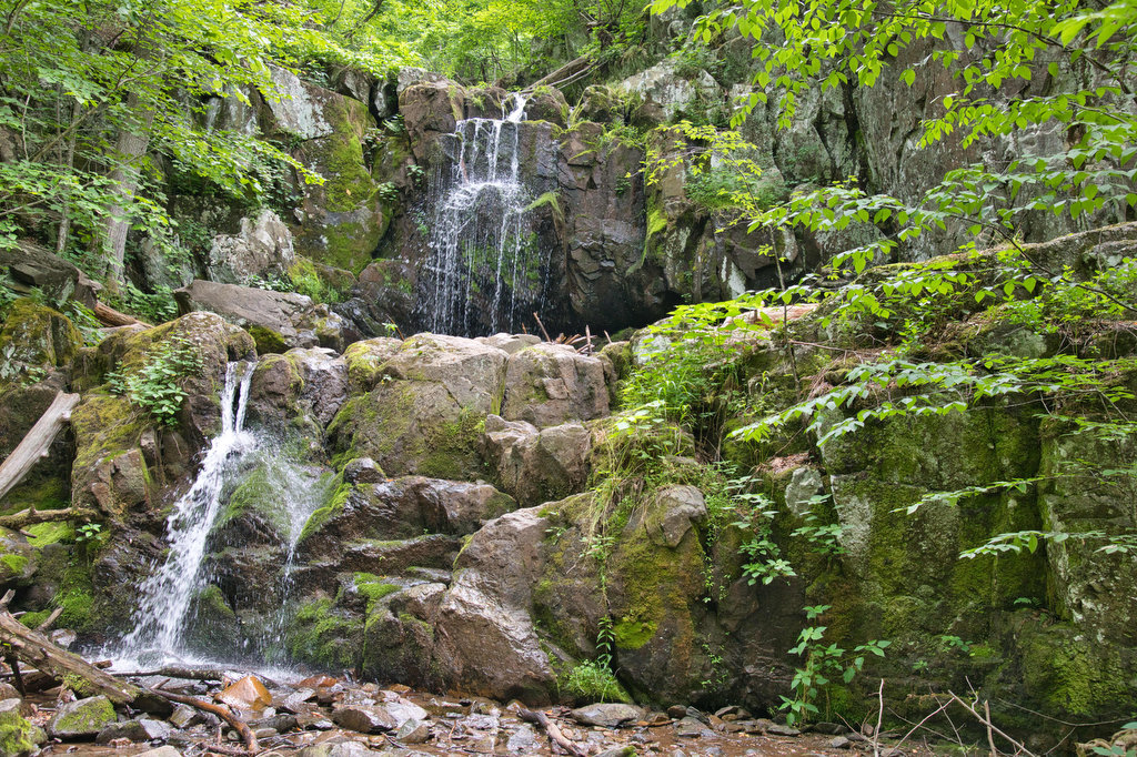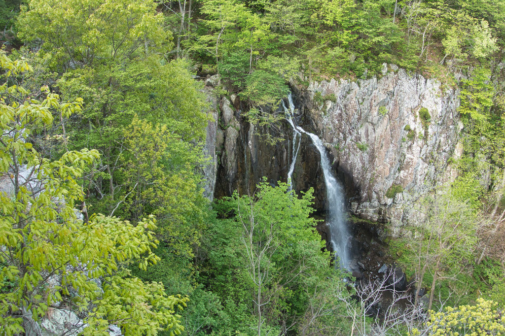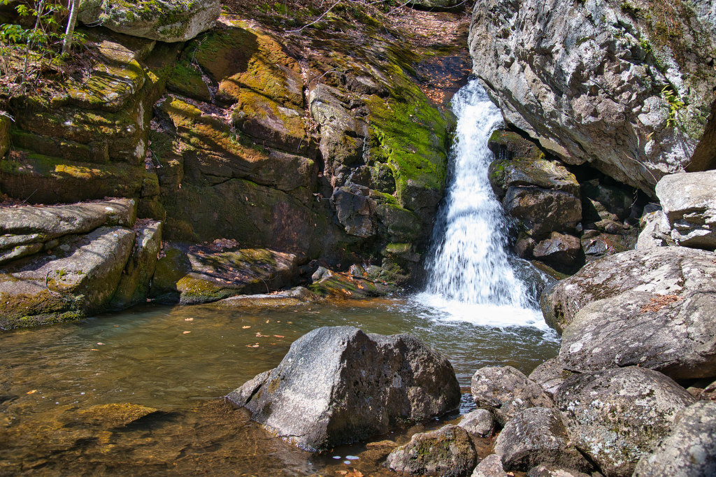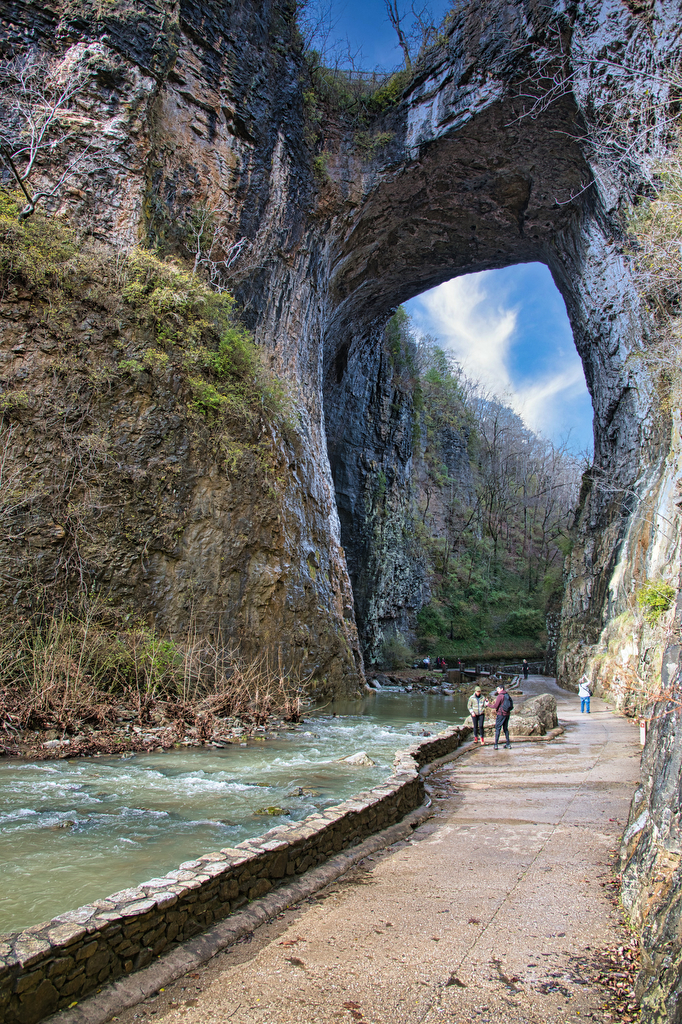
Great Falls Virginia Loop
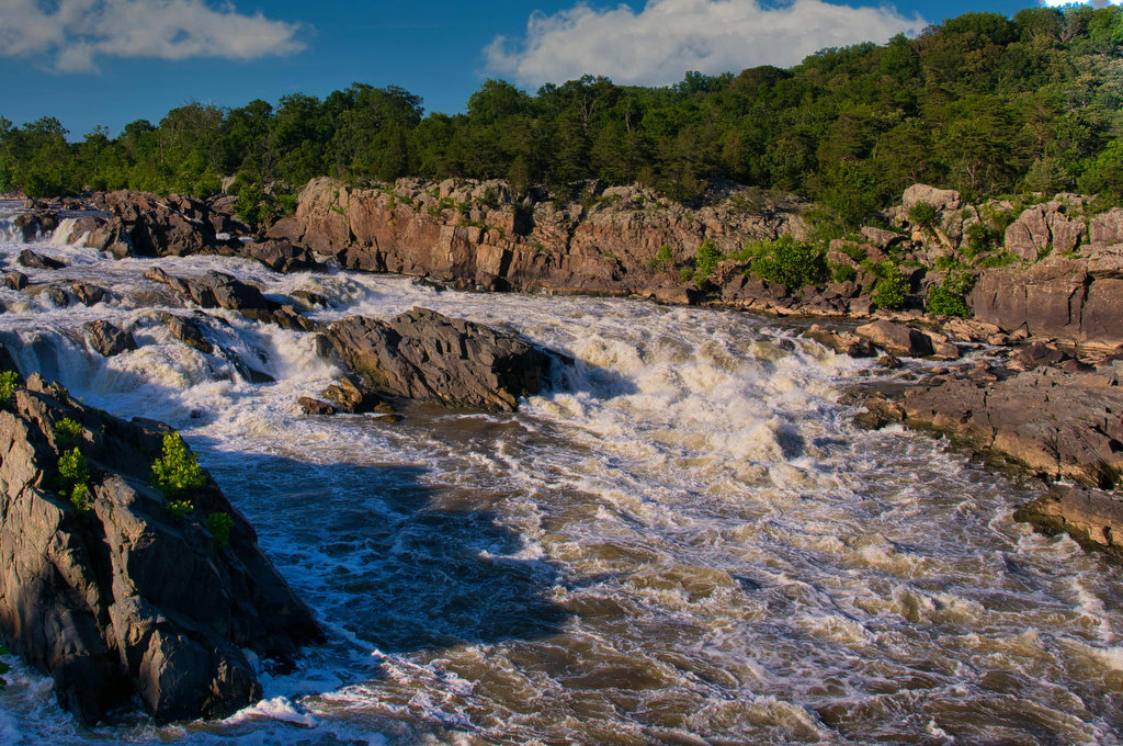
Highlights: Waterfalls, wildflowers, rock formations, wildlife, views Distance: 4.7 mile loop Elevation change: 383 feet Difficulty level: Moderate Trailhead Parking: Great Falls Park Visitor Center, Dominion Drive, Great Falls VA; park fee required Website: Great Falls Park Beer Pairings: Lake Anne Brew House—Reston Red Ale & Live-Work-Play IPA The Hike: The Great Falls of the […]
Great Falls Virginia Loop Read More »