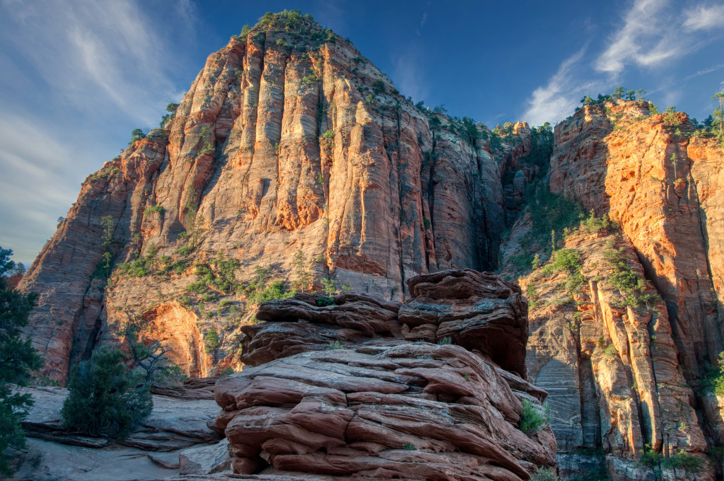
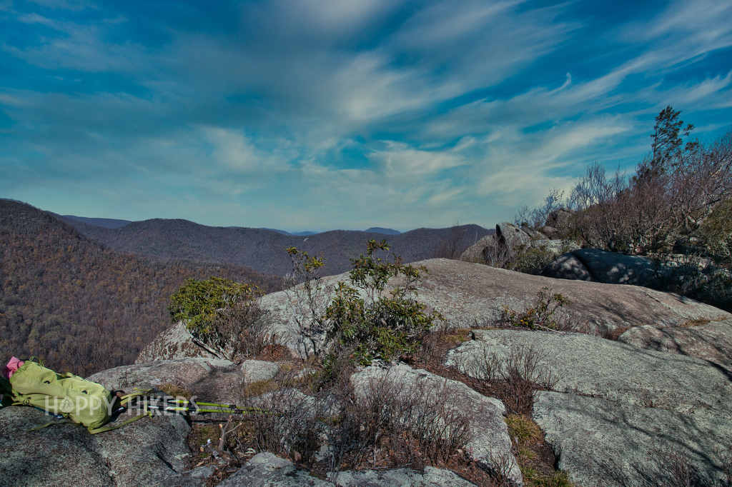
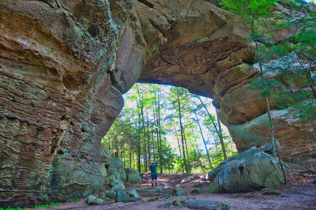
rock formations

The Narrows, Zion National Park

Highlights: River hike, rock formations, amazing views Distance: up to 9.4 miles out and back Elevation change: up to 334 feet Difficulty level: Moderate to strenuous Trailhead Parking: Temple of Sinawava, park shuttle stop # 9 Website: Zion National Park Beer Pairings: Zion Brewery—Zion Pale Ale & Canyon Lager The Hike: We recently posted a […]

The Narrows, Zion National Park Read More »

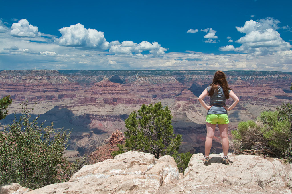
South Kaibab Trail

Highlights: Amazing views, rock formations, Grand Canyon Distance: up to 6 miles out and back Elevation change: up to 2,000 feet Difficulty level: Very strenuous Trailhead Parking: South Kaibob Trailhead, park shuttle access only Website: Grand Canyon National Park Beer Pairings: Grand Canyon Brewing Pilsner & Mother Road Brewing Tower Station IPA The Hike: We

South Kaibab Trail Read More »

Breaks Interstate Park Loop

Highlights: Great views, wildlife, wildflowers, rock formations Distance: 3.6 mile loop Elevation change: 380 feet Difficulty level: Moderate Trailhead Parking: Commission Circle (route 702) to Picnic Shelter # 2 parking area Website: Breaks Interstate Park Beer Pairings: Adventure Brewery—Expedition IPA and Rod & Reel Pilsner The Hike: Breaks Interstate Park is called “the Grand Canyon

Breaks Interstate Park Loop Read More »

Whiteside Mountain

Highlights: Great views, rock cliffs, wildflowers Distance: 2 mile loop Elevation change: 550 feet Difficulty level: Easy/Moderate Trailhead Parking: State Route 1680 between Highlands and Cashiers, fee required  Website: US Forest Service Beer Pairings: Highland Brewing—Gaelic Ale & Daycation IPA The Hike: This short hike has some great mountain views, geology, and history. From the

Whiteside Mountain Read More »

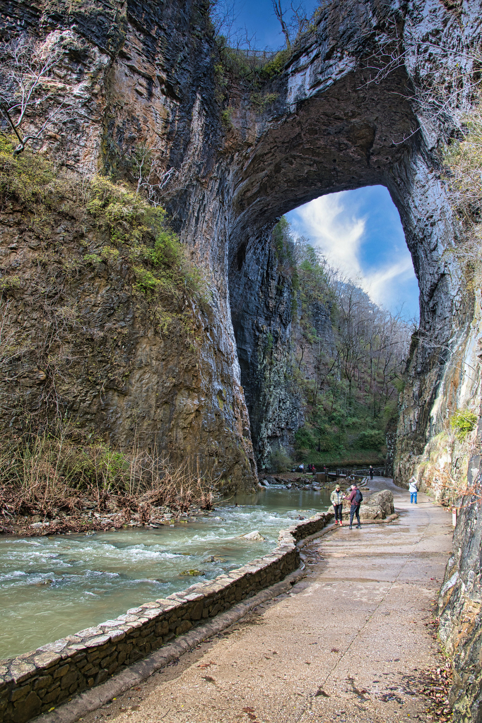
Natural Bridge & Cedar Creek Trail

Highlights: Natural bridge, waterfall Distance: 2 miles out and back Elevation change: 387 feet Difficulty level: Easy Trailhead Parking: Visitor Center, 6477 South Lee Highway, Natural Bridge, VA Website: Natural Bridge State Park  Beer Pairings: Great Valley Farm Brewery—IPA & Coffee Stout The Hike: This easy hike is more of a stroll through the woods

Natural Bridge & Cedar Creek Trail Read More »

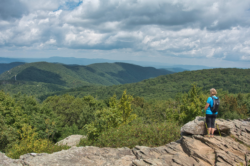
Loft Wayside to Ivy Creek

Highlights: Great views, Appalachian Trail, Shenandoah National Park Distance: 7.2 miles out and back Elevation change: 1,130feet Difficulty level: Moderate/Strenuous Trailhead Parking: Loft Mountain Wayside parking area, Skyline Drive mile 79.5 Website: Shenandoah National Park  Beer Pairings: Three Notch’d Brewery—40 Mile IPA & No Veto brown ale The Hike: This hike begins at the north

Loft Wayside to Ivy Creek Read More »

Furnace Mountain & Blackrock Summit

Highlights: Great views, rocky summit, Shenandoah National Park Distance: 6.8 miles out and back Elevation change: 1,369 feet Difficulty level: Moderate/Strenuous Trailhead Parking: Blackrock Summit parking area, Skyline Drive mile 84.4 Website: Shenandoah National Park Beer Pairings: Trapezium Brewery—Lucky 46 IPA & Lucky 25 American Brown The Hike: This hike packs in some great scenery

Furnace Mountain & Blackrock Summit Read More »

Bear Church Rock via Bootens Gap

Highlights: Shenandoah National Park, wilderness views, wildflowers Distance:  9.4 mile out and back  Elevation change: 1,800 feet Difficulty level: Strenuous Trailhead Parking: Skyline Drive, mile 55.1, Bootens Gap parking area Website: Virginia Trail Guide Beer Pairings: Cave Hill Farms Brewery: Full Mane IPA & Hoppy Gator IPA The Hike: We were looking for a longer

Bear Church Rock via Bootens Gap Read More »

Twin Arches and Slave Falls Loop

Highlights: sandstone arches, waterfall, cliffs, forest, wildlife Distance:  14.1 mile loop Elevation change:  2,035 feet Difficulty level: Difficult Trailhead Parking: Twin Arches Road, Great South Fork National Recreation Area, Jamestown TN; see link below for more information.   Website: National Park Service Beer Pairings: Wiseacre Brewing Company, Tiny Bomb pilsner & Ananda IPA The Hike:

Twin Arches and Slave Falls Loop Read More »