stream crossing

Settler’s Museum to Glade Mountain

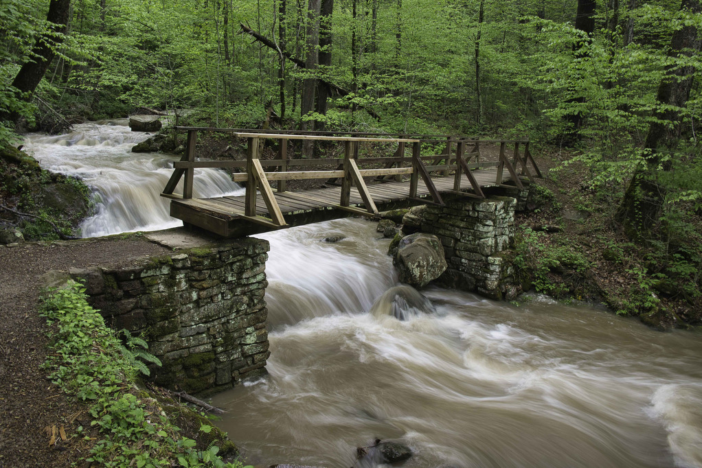
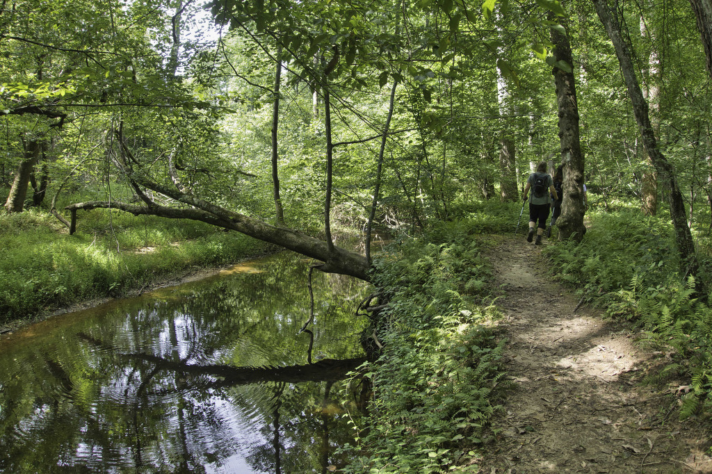
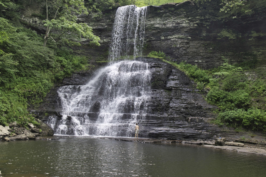
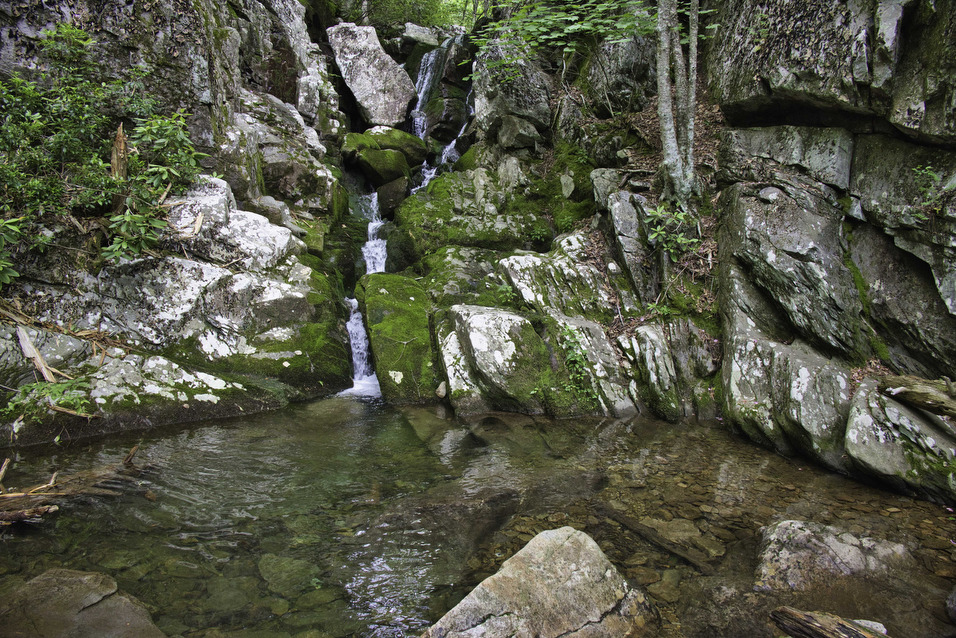
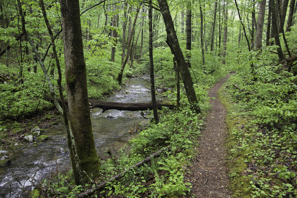
Trail Map: The Hike: This Appalachian Trail section hike doesn’t show up on AllTrails or most hiking websites. It’s a shame as this hike has views of the Great Valley, an AT shelter, several stream crossings, and what may be the longest rhododendron tunnel on the AT. The trailhead is located at an open air […]

Settler’s Museum to Glade Mountain Read More »

Roaring Run Hoop Hole

The Hike: This easy hike passes beside Roaring Run much of the way. We hiked following heavy rains and the stream was full and the falls were spectacular. This loop trail combines the Woodland Trail and the Streamside Trail. Both trails begin near the trail kiosk by the restrooms.  We began the loop by following

Roaring Run Hoop Hole Read More »

Apple Orchard Falls & Cornelius Creek Loop

The Hike: We hiked to Apple Orchard Falls in the dry summer of 2021. The water level in the falls that year was just a trickle—but it was still a great hike. We wanted to go back when the water level was higher to see the 200’ falls in all of its glory.  Kathy is

Apple Orchard Falls & Cornelius Creek Loop Read More »

Sulphur Springs Loop

The Hike: From the trailhead on Petites Gap Road, we elected to hike counterclockwise leaving the 2.8 mile section of gravel road for the end. From the parking area, follow the white-blazed Appalachian Trail northbound. The climb begins immediately and the trail gains nearly 700’ in elevation over the first mile.  We hiked in early

Sulphur Springs Loop Read More »

Little Mountain Falls

The Hike: Fairy Stone State Park is one of the original Virginia State Parks from 1936. Stop by the visitor center to pick up a trail map and to learn more about fairy stones. This hike combines several shorter trails so there are numerous junctions. All the trail junctions have signs and the trails are

Little Mountain Falls Read More »

Prince William Forest Park Loop

Highlights: Forest and creek views Distance: 7.4 mile loop Elevation Change: 682 feet Trail Surface: dirt with rocky sections Difficulty Level: Moderate/strenuous (distance) Trailhead Parking: Parking area A, B, or C, Scenic Drive, Prince William Forest Park, Triangle VA; park fee required Website: AllTrails and National Park Service Beer Pairings: 2 Silos Brewing Co.—Sir Alucard

Prince William Forest Park Loop Read More »

Cascade Falls Loop

Highlights: Waterfalls, Little Stony Creek Gorge Distance: 4.0 mile loop Elevation Change: 700 feet Trail Surface: Rocky Difficulty Level: Easy/moderate (rocky surface, elevation gain) Trailhead Parking: Cascades Day Use Parking Area, route 623 in Pembroke VA; $3 parking fee required Website: AllTrails and US Forest Service Beer Pairings: Eastern Divide Brewing Co.—Czech Pilsner & Cliffhanger

Cascade Falls Loop Read More »

White Rock Falls

Highlights: Waterfalls, mountain views Distance: 4.4 mile loop Elevation Change: 886 feet Trail Surface: Dirt with several rocky sections Difficulty Level: Moderate (elevation)  Trailhead Parking: White Rock Gap parking area, Blue Ridge Parkway mile post 18.5 Website: AllTrails Beer Pairings: Brewing Tree Brewing Co.—Chapter 2 IPA & Flip Flop Pils The Hike: Most people like

White Rock Falls Read More »

Long Mountain to Pedlar Lake

Highlights: Appalachian Trail shelter, Brown Mt. Creek, Pedlar Lake Distance: 10.3 miles miles out and back Elevation Change: 1,467 feet Trail Surface: Dirt with several rocky sections and stream crossings Difficulty Level: Strenuous (distance, elevation, multiple stream crossings)  Trailhead Parking: Long Mountain Wayside, US route 60, 10 miles east of Buena Vista VA  Website: AllTrails

Long Mountain to Pedlar Lake Read More »