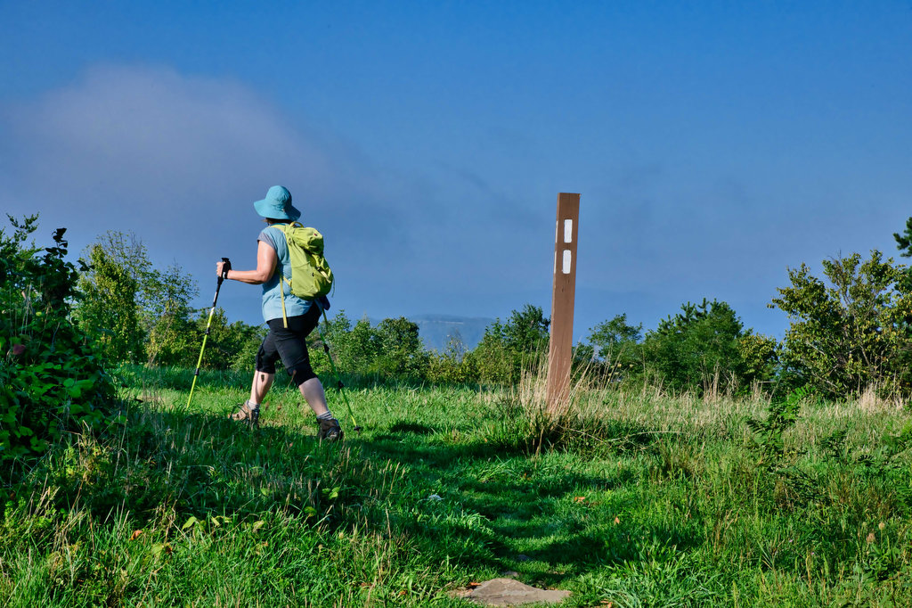
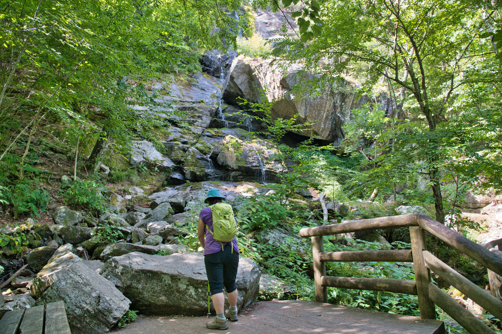
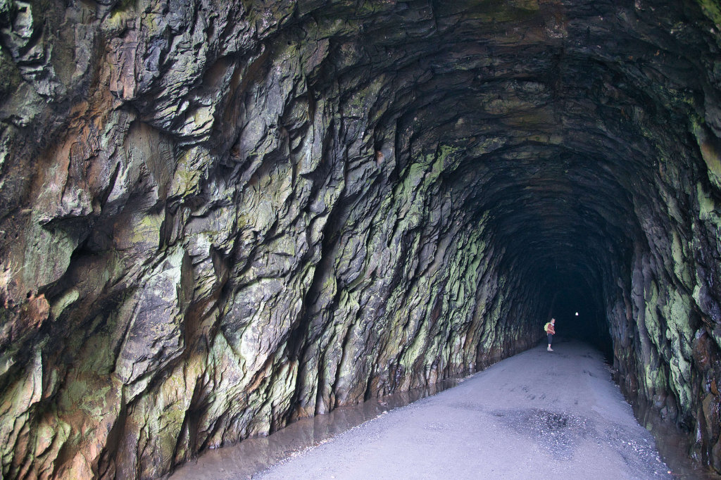
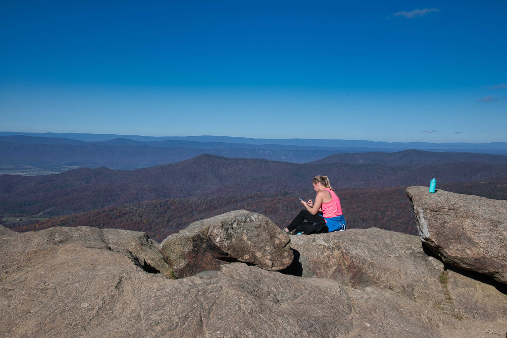
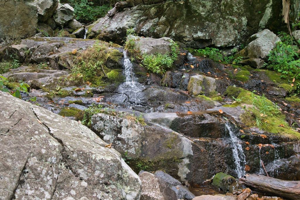
Fallingwater Cascades

Highlights: Waterfall, rock formations, wildflowers, wildlife Distance: 1.6 mile loop Elevation change: 410 feet Difficulty level: Easy Trailhead Parking: Flat Top parking area, Blue Ridge Parkway mile post 83.5 Website: National Park Service Beer Pairings: Beale’s Brewery—Purple Mountain Pilsner & Red IPA The Hike: This short hike leads to a waterfall and series of cascades. […]

Fallingwater Cascades Read More »

Flat Top Mountain

Highlights: Mountain top views, large boulders, wildflowers, wildlife Distance: 5.2 miles out and back Elevation change: 1,750 feet Difficulty level: Strenuous Trailhead Parking: Flat Top parking area, Blue Ridge Parkway mile post 83.5 Website: National Park Service Beer Pairings: Beale’s Brewery—Purple Mountain Pilsner & Red IPA The Hike: The Peaks of Otteris a popular destination

Flat Top Mountain Read More »

Devil’s Marbleyard

Highlights: Amazing rock scramble and great views Distance: 3.8 miles out and back Elevation change: 1,150 feet Difficulty level: Moderate/Strenuous Trailhead Parking: VA 781 (Petites Gap Road) small parking area at Belfast Trailhead, 4.5 miles south of Blue Ridge Parkway Website: US Forest Service Beer Pairings: Great Valley Farm Brewery—IPA & Coffee Stout The Hike:

Devil’s Marbleyard Read More »

Hogback Mountain Loop

Highlights: Nice views, Appalachian Trail, wildflowers, wildlife, fall foliage Distance: 7.1 mile loop Elevation change: 1,123 feet Difficulty level: Moderate/Strenuous Trailhead Parking: Piney River parking area, Skyline Drive mile 22.3, park fee required Website: Shenandoah National Park Beer Pairings: Pen Druid Brewing Co.—Golden Swan Wild Ale & Arkansas Black Sparkling Cider The Hike: We cobbled

Hogback Mountain Loop Read More »

AT: Compton Peak & Fort Windham Rocks

Highlights: Nice views, unique geology, rock scrambles, Appalachian Trail, wildflowers, wildlife Distance: 6.1 miles out and back Elevation change: 1,281 feet Difficulty level: Moderate/Strenuous Trailhead Parking: Jenkins Gap parking area, Skyline Drive mile 12.4, park fee required Website: Shenandoah National Park Compton Peak and Fort Windham Rocks  Beer Pairings: Front Royal Brewing Co.—Park Pass Helles

AT: Compton Peak & Fort Windham Rocks Read More »

AT: Bear’s Den to Raven Rocks

Highlights: Great views, Appalachian Trail, wildflowers, rock outcroppings Distance: 7 miles out and back Elevation change: 1,468 feet Difficulty level: Strenuous Trailhead Parking: Bear’s Den Trail Center 18393 Blueridge Mountain Rd. Bluemont, VA; $3 daily parking fee Website: Hiking Upward Beer Pairings: Bear Chase Brewing—Evenin’ Sunset IPA & Kodiak Kolsch and Dirt Farm Brewing—Hey Z

AT: Bear’s Den to Raven Rocks Read More »

Rocky Row on the AT

Highlights: Great views, Appalachian Trail, stream crossings, wildflowers, wildlife Distance: 10.1 miles out and back Elevation change: 2,461 feet Difficulty level: Very strenuous Trailhead Parking: James River Footbridge/AT trail parking, route 501 near Snowden VA Website: Hiking Upward https://www.hikingupward.com/gwnf/bigrockyrow/ Beer Pairings: Camp Trapezium—New Day Lager & Lucky 46 IPA The Hike: This was a great

Rocky Row on the AT Read More »

Mount Pleasant Loop

Highlights: Great views, rocky summit, stream crossings, wildflowers, wildlife Distance: 6.0 mile loop Elevation change: 1,270 feet Difficulty level: Strenuous Trailhead Parking: Wiggins Springs Road, route 755, becomes Hog Camp Gap Road (Fire Road 48). Continue past the first parking area at Hog Camp Gap for .25 miles. Bear right park near the trailhead kiosk,

Mount Pleasant Loop Read More »

Cole Mountain Loop

Highlights: Appalachian Trail, bald summit, great views, wildflowers, wildlife Distance: 6.1 mile loop Elevation change: 1,200 feet Difficulty level: Strenuous Trailhead Parking: Wiggins Springs Road (route 755) becomes Hog Camp Gap Road (Fire Road 48), parking at the AT crossing at Hog Camp Gap. For additional parking, continue past Hog Camp Gap for .25 miles

Cole Mountain Loop Read More »

Maryland Heights

Highlights: Appalachian Trail, Harpers Ferry historic district, great views Distance: 4.5 miles out and back Elevation change: 1,350 feet Difficulty level: Moderate/strenuous Trailhead Parking: Lower Town Information Center, Harpers Ferry WV, park fee required Website: Harpers Ferry National Historical Park Beer Pairings: Smoketown Brewing—My Best Girl DIPA & Angler’s Mid Atlantic Steam IPA The Hike:

Maryland Heights Read More »