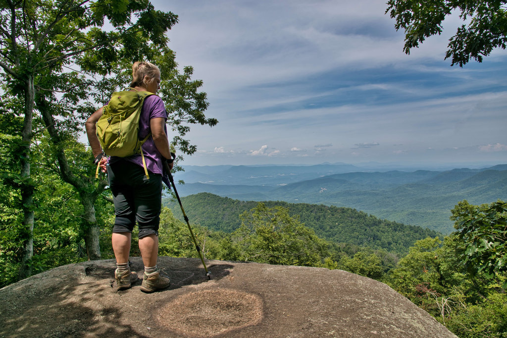
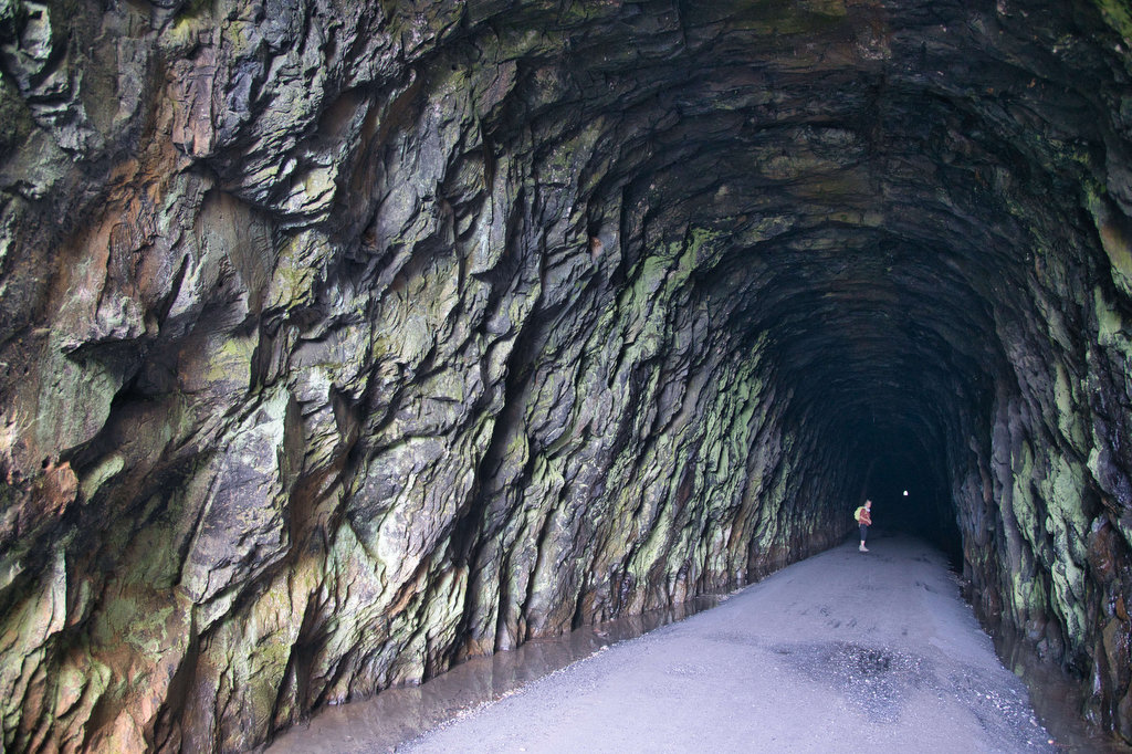
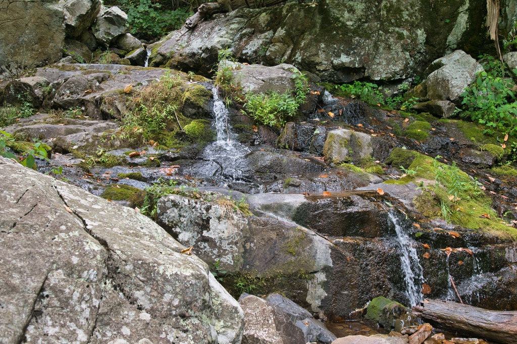
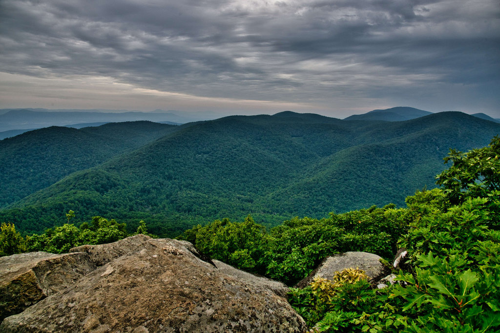
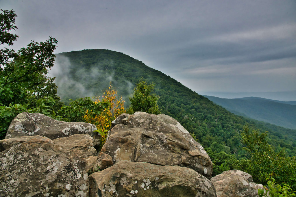
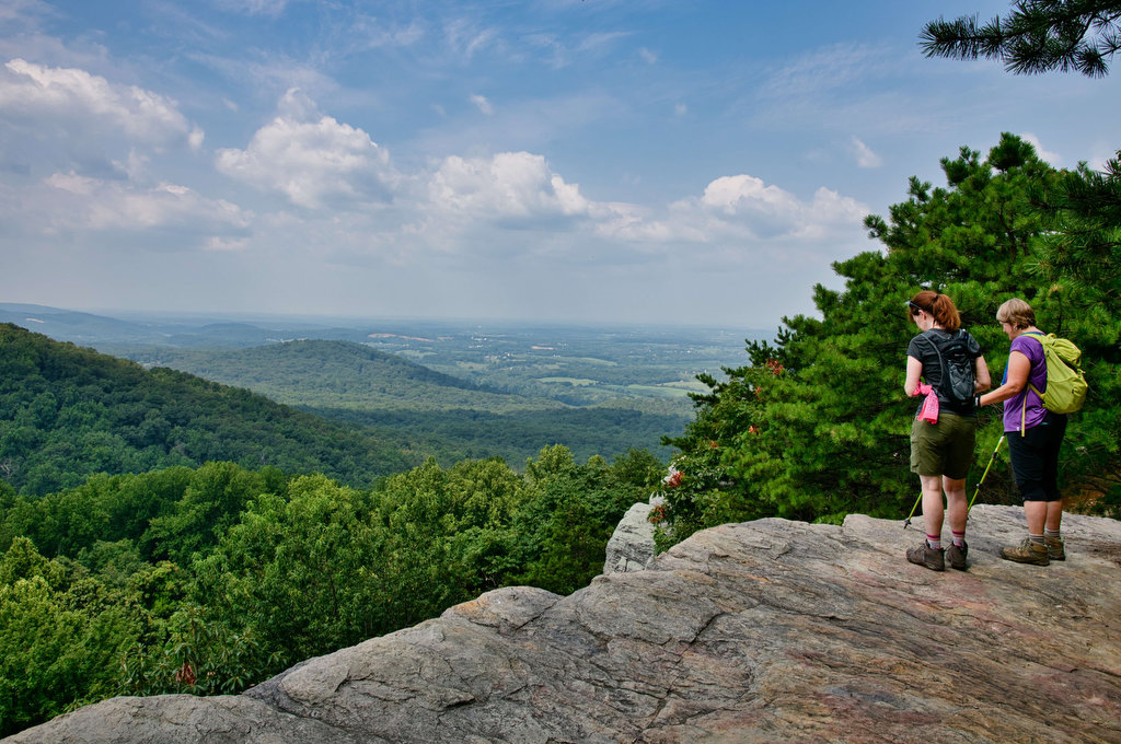
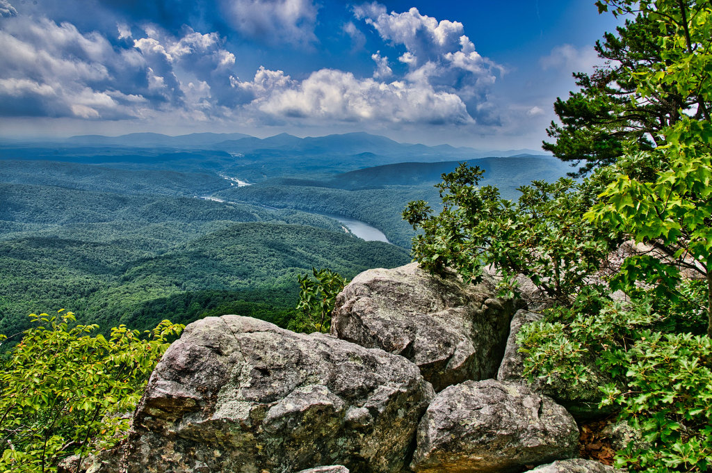
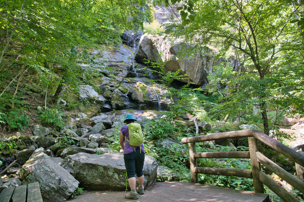
Distance

Rapidan Camp Loop

Highlights: President Hoover’s fishing camp, waterfalls, Appalachian Trail Distance: 7.4 mile loop Elevation change: 1,300 feet Difficulty level: Moderate/Strenuous Trailhead Parking: Milam Gap parking area, Skyline Drive mile post 52.8 Website: Shenandoah National Park  Beer Pairings: Basic City Brewing—Big Meadows IPA & Bearfence DIPA The Hike: This hike has a lot to like: history, scenery, […]

Rapidan Camp Loop Read More »

Hawksbill Summit Loop

Highlights: Great views, peregrine falcons, wildflowers Distance: 2.9 mile loop Elevation change: 860 feet Difficulty level: Easy/Moderate Trailhead Parking: Hawksbill Gap parking area, Skyline Drive mile post 45. Website: Shenandoah National Park  Beer Pairings: Hawksbill Brewing Company—Hooray for Luray IPA & Shenandoah Sunrise Porter The Hike: At 4,050’ Hawksbill is the highest peak in Shenandoah

Hawksbill Summit Loop Read More »

John Rock Loop

Highlights: Sweeping vistas from granite summit, wildflowers Distance: 5.6 mile out-and-back Elevation change: 1,100 feet Difficulty level: Moderate/Strenuous Trailhead Parking: From US 276 turn onto FS Road 475, turn left at the Pisgah Center for Wildlife Education; trail head at end of parking lot on the left. Website: US Forest Service Beer Pairings: Ecusta Brewing

John Rock Loop Read More »

Looking Glass Rock

Highlights: Great views, granite summit, wildflowers Distance: 6.2 mile out-and-back Elevation change: 1,700 feet Difficulty level: Strenuous Trailhead Parking: From US 276 turn onto FS Road 475, signed for the Pisgah Center for Wildlife Education; trailhead parking is 1/2 mile on the right. Website: US Forest Service Beer Pairings: Oskar Blues Brewery—Can-O-Bliss Resinous IPA &

Looking Glass Rock Read More »

Sam Knob Loop

Highlights: Great views, rocky summit, stream crossings, wildflowers Distance: 3.9 mile loop Elevation change: 730 feet Difficulty level: Moderate Trailhead Parking: Blue Ridge Parkway mile 420, turn right on Black Balsam Road/Forest Road 816 and drive to the parking area at the end  Website: AllTrails Beer Pairings: Brevard Brewing—Nitro Stout & Juicy IPA The Hike:

Sam Knob Loop Read More »

Whiteside Mountain

Highlights: Great views, rock cliffs, wildflowers Distance: 2 mile loop Elevation change: 550 feet Difficulty level: Easy/Moderate Trailhead Parking: State Route 1680 between Highlands and Cashiers, fee required  Website: US Forest Service Beer Pairings: Highland Brewing—Gaelic Ale & Daycation IPA The Hike: This short hike has some great mountain views, geology, and history. From the

Whiteside Mountain Read More »

Springer Mountain

Highlights: Hike-in lodge, wildflowers, AT southern terminus  Distance: 8.8 mile out and back Elevation change: 1,565 feet Difficulty level: Strenuous Trailhead Parking: Amicaola State Park, Top of Falls parking area, park entrance fee required  Website: Len Foote Hike Inn Beer Pairings: Terrapin Brewing—Hopsecutioner IPA & Golden Ale The Hike: There are several ways to reach

Springer Mountain Read More »

Len Foote Hike Inn Trail

Highlights: Hike-in lodge, wildflowers, great views Distance: 4.9 miles one way Elevation change: 500 feet Difficulty level: Moderate/Strenuous Trailhead Parking: Amicaola State Park, Top of Falls parking area, park entrance fee required  Website: Len Foote Hike Inn Beer Pairings: Sweetwater Brewing—420 Extra Pale Ale & IPA The Hike: The Len Foote Hike Inn has been

Len Foote Hike Inn Trail Read More »

Huckleberry Knob & Hooper Bald

Highlights: Bald mountains, wildflowers, great views Distance: 3.2 miles out and back Elevation change: 500 feet Difficulty level: Easy Trailhead Parking: Cherohala Skyway mile post 8, Huckleberry Knob parking is on the right (westbound) and Hooper Bald parking is on the left a bit further west  Website: US Forest Service Beer Pairings: Nantahala Brewing—28779 Pale

Huckleberry Knob & Hooper Bald Read More »

Joyce Kilmer Memorial Forest

Highlights: Old growth forest, wildflowers, wildlife Distance: 2 mile loop Elevation change: 370 feet Difficulty level: Easy Trailhead Parking: Joyce Kilmer Memorial Forest, Joyce Kilmer Road Website: US Forest Service Beer Pairings: Mountain Layers Brewery—Dragon Tamer IPA & Fontana Hoppiness The Hike: Many of the forests in western North Carolina were clearcut in the late

Joyce Kilmer Memorial Forest Read More »