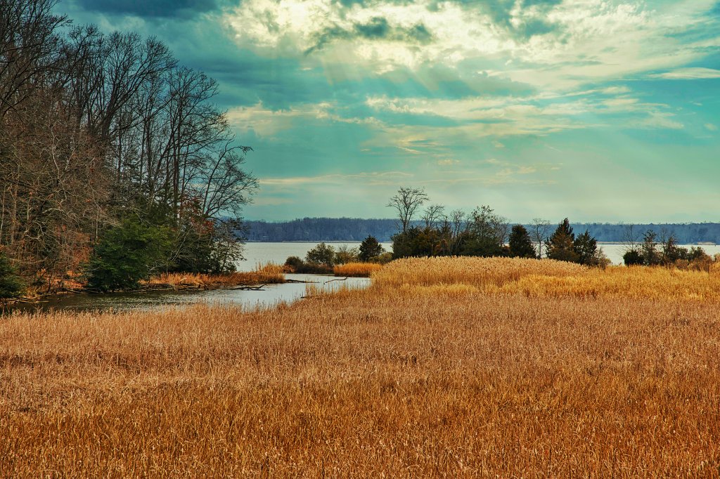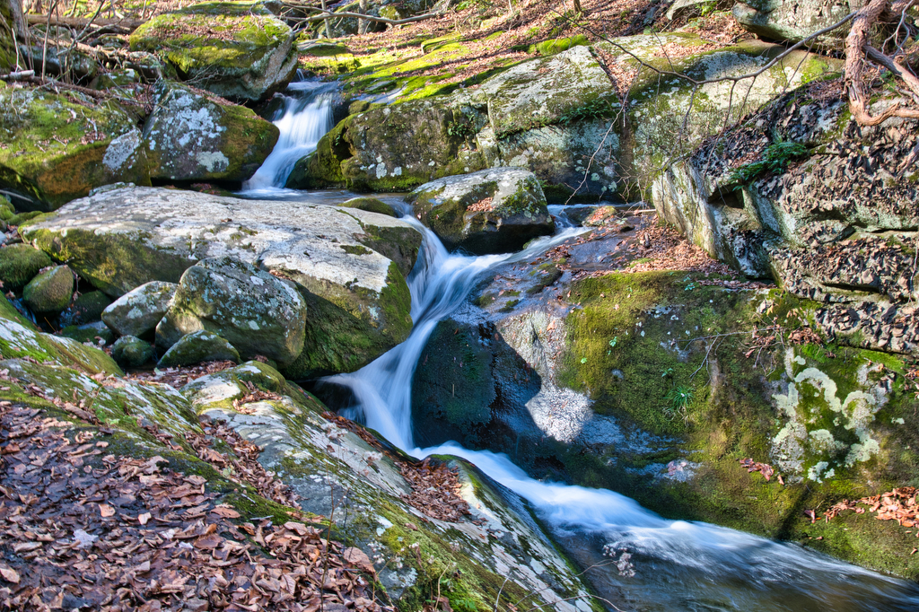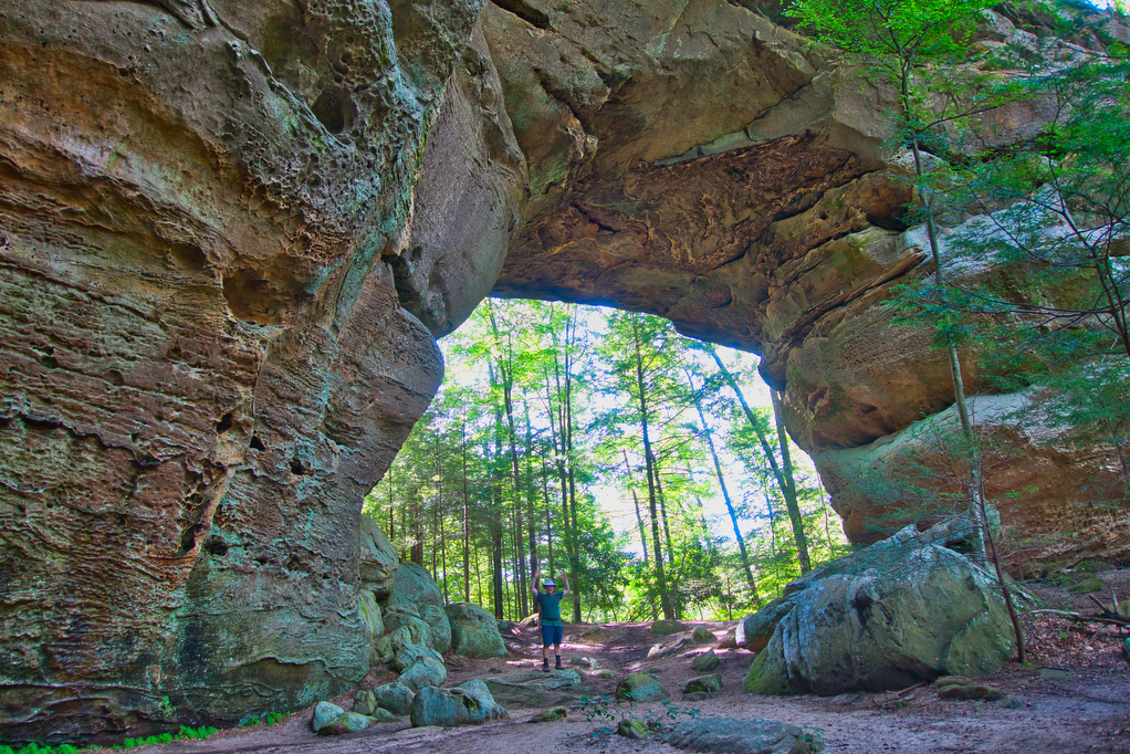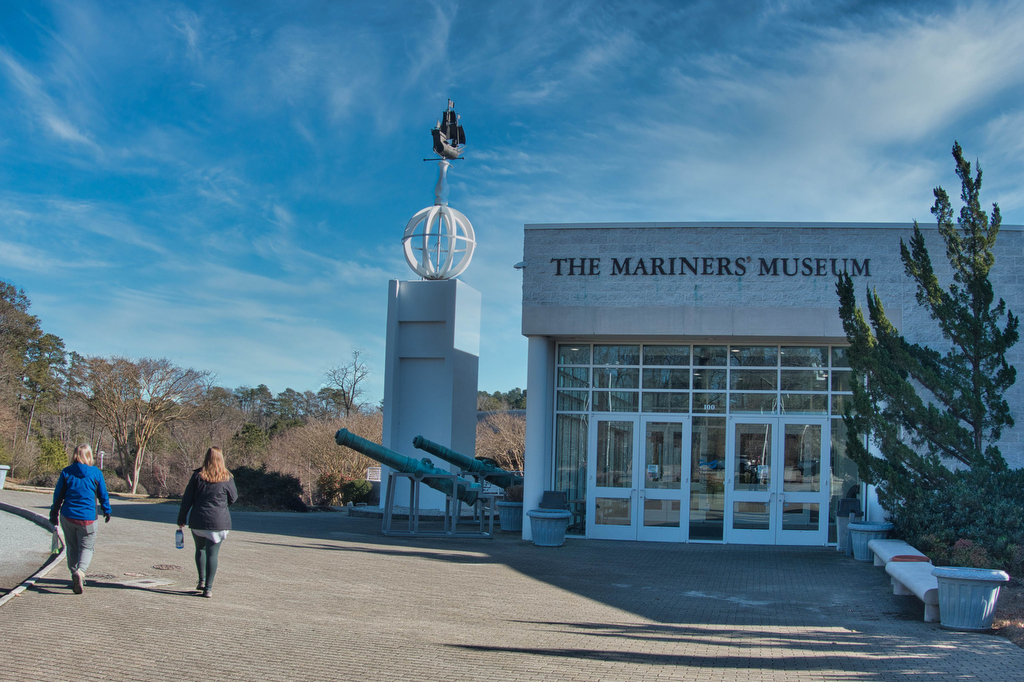
Mariners’ Museum Noland Trail
Highlights: Lake and river views, Mariners’ Museum Distance: 5.6 mile loop Elevation change: 272 feet Difficulty level: Easy/Moderate Trailhead Parking: Mariners’ Museum & Park, 100 Museum Drive, Newport News VA Website: Mariners’ Museum Beer Pairings: Tradition Brewing—IPA Batch # 5 & Tradizione pilsner The Hike: This very popular hike circumnavigates Maury Lake. The park and […]
Mariners’ Museum Noland Trail Read More »