fall foliage

Loudon Heights

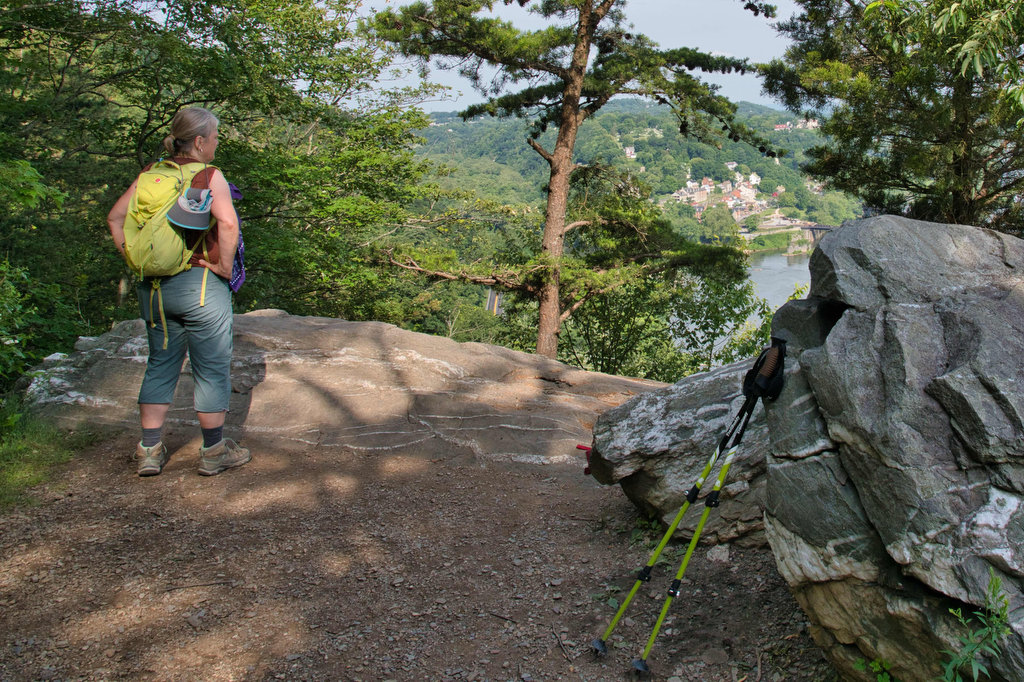
Highlights: Appalachian Trail, historic district, great views, wildflowers, wildlife Distance: 7.8 miles out and back Elevation change: 2,278 feet Difficulty level: Strenuous Trailhead Parking: Lower Town Information Center, Harpers Ferry WV, park fee required Website: Harpers Ferry National Historical Park Beer Pairings: Harpers Ferry Brewing—Shenandoah Stout & Needles IPA The Hike: This hike begins with […]

Loudon Heights Read More »

Robertson Mountain

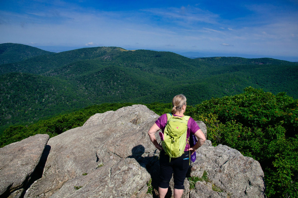
Highlights: Great views, wildlife, wildflowers Distance: 7 miles out and back Elevation change: 1,320 feet Difficulty level: Moderate/Strenuous Trailhead Parking: Limberlost parking area, Skyline Drive mile 43 Website: Shenandoah National Park  Beer Pairings: Skyline Brewery—Jenkins Mountain Brown Ale & Little Devil Imperial Pale Ale The Hike: The summit of Robertson Mountain is 5 feet higher

Robertson Mountain Read More »

Looking Glass Rock

Highlights: Great views, granite summit, wildflowers Distance: 6.2 mile out-and-back Elevation change: 1,700 feet Difficulty level: Strenuous Trailhead Parking: From US 276 turn onto FS Road 475, signed for the Pisgah Center for Wildlife Education; trailhead parking is 1/2 mile on the right. Website: US Forest Service Beer Pairings: Oskar Blues Brewery—Can-O-Bliss Resinous IPA &

Looking Glass Rock Read More »

Springer Mountain

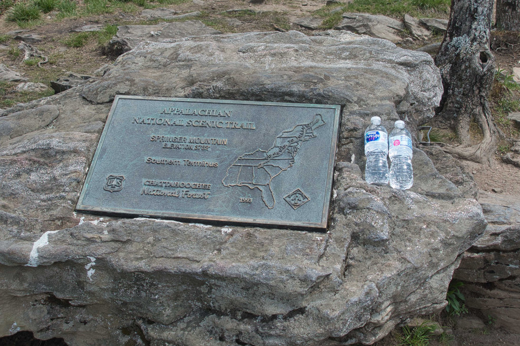
Highlights: Hike-in lodge, wildflowers, AT southern terminus  Distance: 8.8 mile out and back Elevation change: 1,565 feet Difficulty level: Strenuous Trailhead Parking: Amicaola State Park, Top of Falls parking area, park entrance fee required  Website: Len Foote Hike Inn Beer Pairings: Terrapin Brewing—Hopsecutioner IPA & Golden Ale The Hike: There are several ways to reach

Springer Mountain Read More »

Huckleberry Knob & Hooper Bald

Highlights: Bald mountains, wildflowers, great views Distance: 3.2 miles out and back Elevation change: 500 feet Difficulty level: Easy Trailhead Parking: Cherohala Skyway mile post 8, Huckleberry Knob parking is on the right (westbound) and Hooper Bald parking is on the left a bit further west  Website: US Forest Service Beer Pairings: Nantahala Brewing—28779 Pale

Huckleberry Knob & Hooper Bald Read More »

Bear Church Rock via Bootens Gap

Highlights: Shenandoah National Park, wilderness views, wildflowers Distance:  9.4 mile out and back  Elevation change: 1,800 feet Difficulty level: Strenuous Trailhead Parking: Skyline Drive, mile 55.1, Bootens Gap parking area Website: Virginia Trail Guide Beer Pairings: Cave Hill Farms Brewery: Full Mane IPA & Hoppy Gator IPA The Hike: We were looking for a longer

Bear Church Rock via Bootens Gap Read More »

Rose River Falls Loop Trail

The Hike: We really enjoyed this hike. It has great views of two waterfalls and is located in one of Park’s federally designated Wilderness areas. The trailhead is located near Skyline Drive. An information sign has a map and trail details. This is a loop hike, so you can go in either direction. We chose

Rose River Falls Loop Trail Read More »

Dark Hollow Falls

Highlights: Waterfalls, Shenandoah National Park Distance:  1.4 mile out and back  Elevation change: 440 feet Difficulty level: Easy Trailhead Parking: Skyline Drive, mile 50.7, Dark Hollow Falls parking area Website: National Park Service Beer Pairings: Starr Hill Brewing Northern Lights IPA & Grateful Pale Ale The Hike: This is a short (but very popular) hike.

Dark Hollow Falls Read More »

Stony Man/Passamaquoddy Loop

Highlights: Great views, mountains, Shenandoah National Park, Appalachian Trail Distance:  3.4 mile loop  Elevation change: 850 feet Difficulty level: Moderate Trailhead Parking: Skyline Drive, mile 41.7, Stony Man parking area Website: National Park Service Beer Pairings: Basic City Beer Company 6th Lord IPA The Hike: This is a fun hike with some great views. The

Stony Man/Passamaquoddy Loop Read More »

Whiteoak Canyon & Cedar Run Falls Loop

Highlights: Waterfalls, mountains, Shenandoah National Park, stream crossings Distance:  7.3 mile loop (many sources, including our GPS, show this hike to be about 9 miles) Elevation change: 2,743 feet Difficulty level: Very Strenuous Trailhead Parking: Boundary Trailhead on route 600 near Syria (see link below) or Skyline Drive mile 45.6 Website: National Park Service Beer

Whiteoak Canyon & Cedar Run Falls Loop Read More »