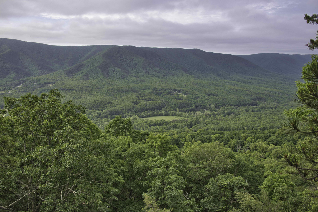
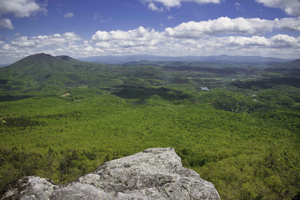
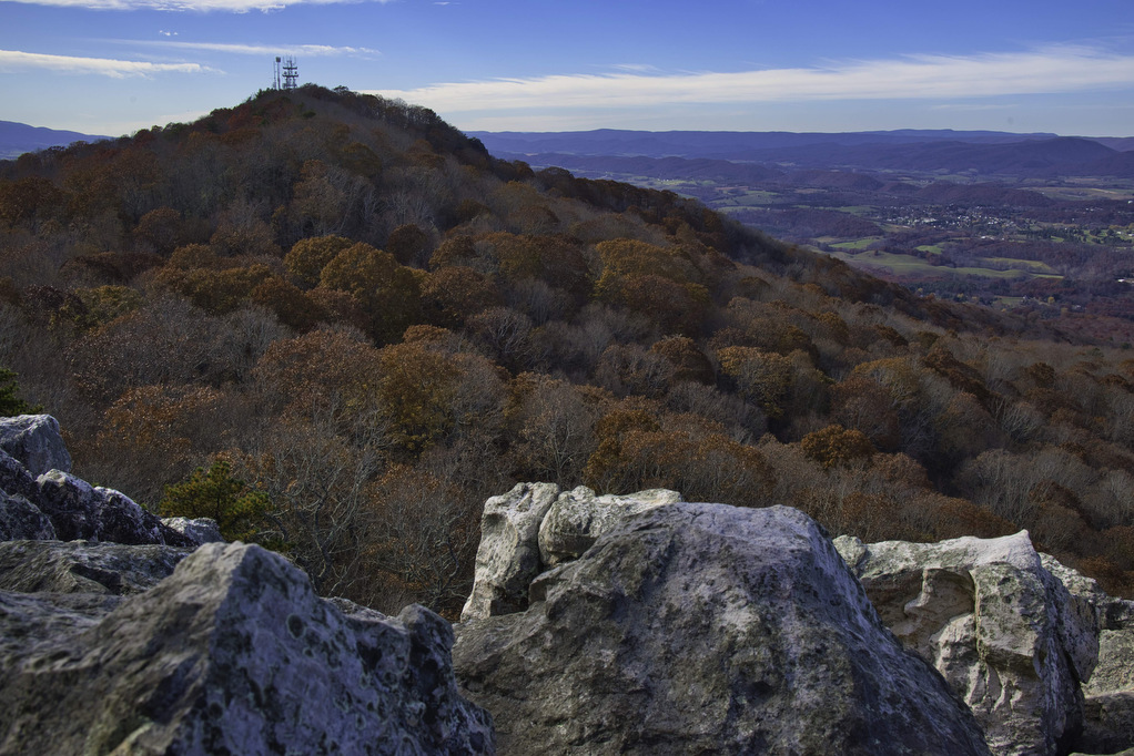
great views

Staunton River Trail to Bear Church Rock

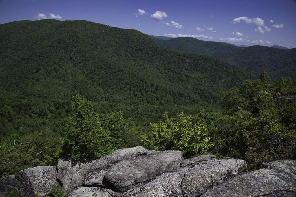
Trail Map: The Hike: We first hiked to Bear Church Rock several years ago from Bootens Gap in Shenandoah National Park. This hike begins just outside the park in Graves Mill. The trail passes beside two rivers as it climbs to Bear Church Rock. This hike combines segments of several trails, so pay attention at […]

Staunton River Trail to Bear Church Rock Read More »

Appalachian Trail to Fulhardt Knob Shelter

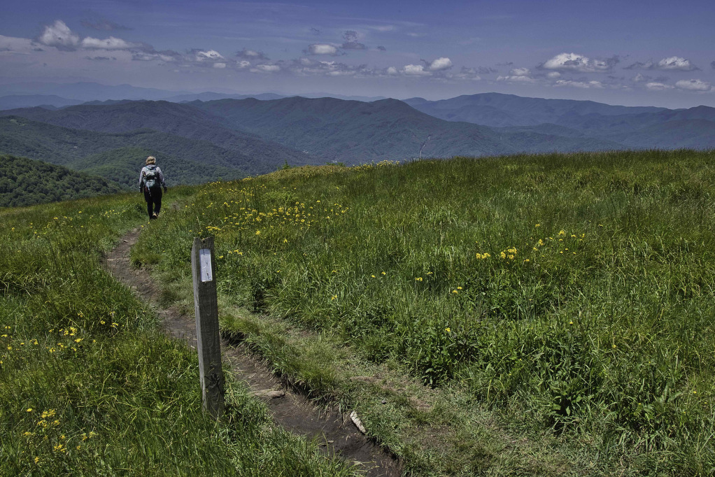
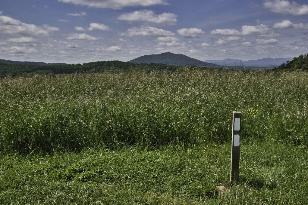
Trail Map: The Hike: Thru-hikers call the Appalachian Trail “the long green tunnel”. For most of its 2,198 miles, the AT passes through forests beneath heavy tree cover. This hike has a small section of open meadow with some nice mountain views. There are a few partial views during the rest of the hike under

Appalachian Trail to Fulhardt Knob Shelter Read More »

Hanging Rock Overlook

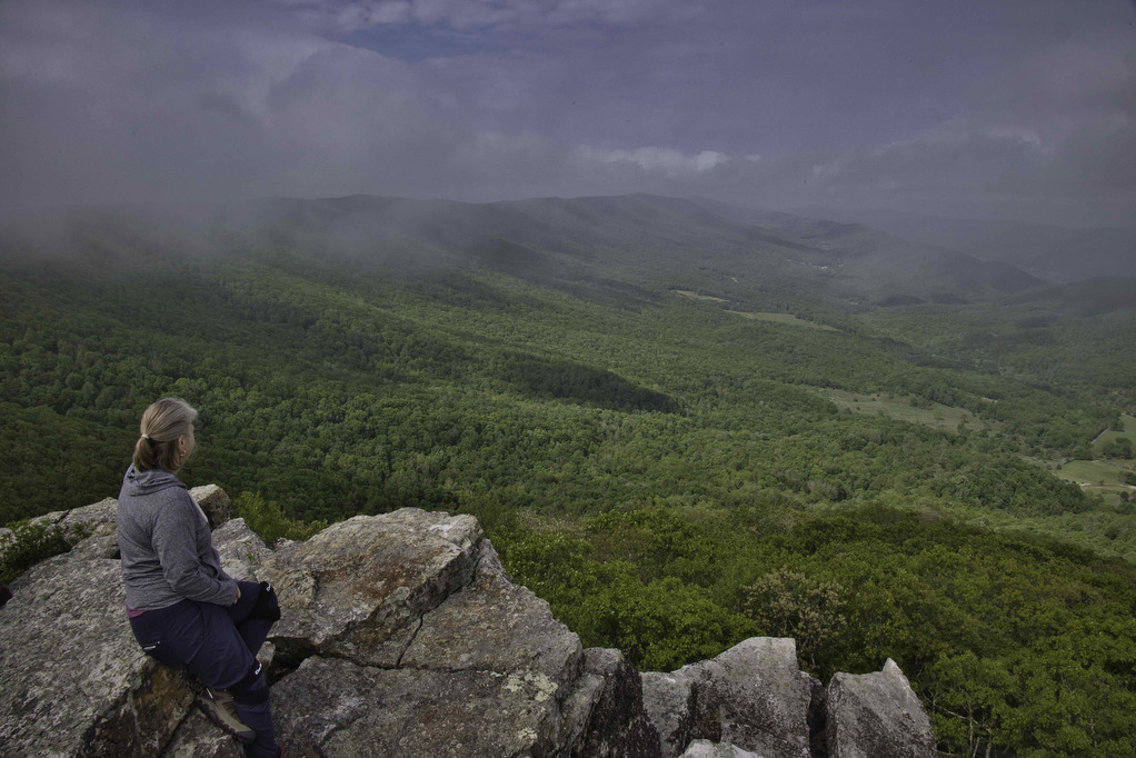
Trail Map: The Hike: This easy hike has some fantastic views. Located in the Shawvers Run Wildness in Jefferson National Forest, this hike is a hidden gem. It’s popular with locals but not well known to most hikers. Part of the reason could be the 3-mile drive on the forest road leading to the trailhead. 

Hanging Rock Overlook Read More »

Pete’s Cave/ North Mountain

The Hike: Full disclosure 1: Pete’s Cave isn’t named after Hoppy Hiker Pete, despite his claims to the contrary. Full disclosure 2: There really isn’t a cave, just a large jumble of boulders. Despite the poetic license of “cave”, this is a great hike. Getting to the trailhead is a bit of an adventure. State

Pete’s Cave/ North Mountain Read More »

Hanging Rock (WV) Observatory

The Hike: This short hike has some great views with minimal hiking effort. Located in the Potts Creek Wildlife Management Area in West Virginia, this hike climbs up Peters Mountain on the Eastern Continental Divide to a raptor observatory. The hike travels along the Allegheny Trail a 311-mile long trail stretching from Pennsylvania to West

Hanging Rock (WV) Observatory Read More »

High Rocks Trail

The Hike: This short hike has some great payoffs. Trailhead parking is 2 miles on the right after the Broadway Road (route 640) intersection with route 720. Broadway Road is a gravel, narrow, country road that winds through the Big Survey WMA. There are two small parking areas here. The trailhead is at the rear

High Rocks Trail Read More »