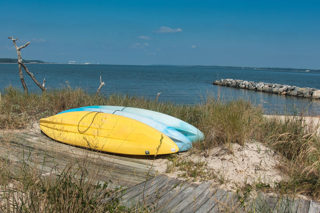
history

Yorktown Riverwalk

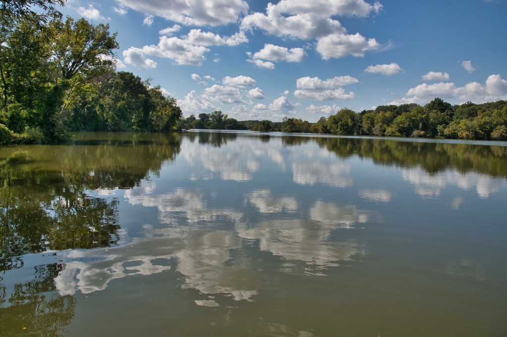
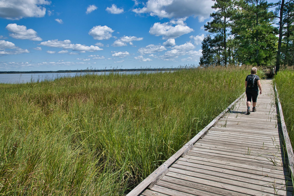
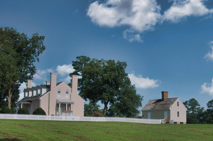
Highlights: River views, birdwatching, historic buildings Distance: 3 miles out and back Elevation change: 97 feet Difficulty level: Easy Trailhead Parking: Yorktown Battlefield Vistor Center, 1000 Colonial Parkway, Yorktown Website: Visit Yorktown Beer Pairings: That Damn Mary Brewing Co.—Proud Mary IPA & Funkedcluster IPA The Hike: This easy hike is more of a walk with […]

Yorktown Riverwalk Read More »

Dutch Gap Conservation Area

Highlights: River and lagoon views, birdwatching, wildlife, wildflowers Distance: 5 mile loop Elevation change: 30 feet Difficulty level: Easy/moderate Trailhead Parking: Citie of Henricus parking area,  341 Henricus Park Road, Chester VA Website: Chesterfield County Beer Pairings: Molly’s Blind Dog Brewery—Charlie’s Brown Ale & Train Wreck IPA The Hike: Dutch Gap is a nearly 800

Dutch Gap Conservation Area Read More »

York River State Park

Highlights: River and marsh views, birdwatching, wildflowers Distance: 6.7 miles out and back Elevation change: 257 feet Difficulty level: Moderate Trailhead Parking: York River State Park Visitor Center, 9801 York River Park Rd., Williamsburg, VA park fee required  Website: York River State Park Beer Pairings: Talleysville Brewing Co.—Broken Post Pilsner & Pinch Point APA The

York River State Park Read More »

Windsor Castle Park

Highlights: Historic buildings, wildlife, birdwatching, creek and marsh views Distance: 4.1 miles loop Elevation change: 64 feet Difficulty level: Easy Trailhead Parking: Dan Smith Drive parking area, Smithfield VA Website: Windsor Castle Park Beer Pairings: Wharf Hill Brewing—Holy Brale brown ale & Outage IPA The Hike: Windsor Castle Farm in Smithfield was originally part of

Windsor Castle Park Read More »

Harkening Hill & Johnson Farm Loop

Highlights: Historic farm, views, rock formations, wildflowers, wildlife Distance: 4.3 mile loop Elevation change: 905 feet Difficulty level: Moderate Trailhead Parking: Peaks of Otter Visitor Center parking area, Blue Ridge Parkway mile post 86 Website: National Park Service Beer Pairings: Apocalypse Ale Works—Enticer Session IPA & D-Stroy IPA The Hike: First of all, Harkening Hill

Harkening Hill & Johnson Farm Loop Read More »

Blue Ridge Tunnel

Highlights: Historic railroad tunnel Distance: 4.6 miles out and back Elevation change: 456 feet Difficulty level: Easy Trailhead Parking: East Trailhead 215 Afton Depot Lane, Afton VA Website: Nelson County Beer Pairings: Wild Man Dan Brewery—Rye She Knows IPA & BoHo Slipper Pilsner The Hike: This easy hike follows the path of a historic railroad

Blue Ridge Tunnel Read More »

Rapidan Camp Loop

Highlights: President Hoover’s fishing camp, waterfalls, Appalachian Trail Distance: 7.4 mile loop Elevation change: 1,300 feet Difficulty level: Moderate/Strenuous Trailhead Parking: Milam Gap parking area, Skyline Drive mile post 52.8 Website: Shenandoah National Park  Beer Pairings: Basic City Brewing—Big Meadows IPA & Bearfence DIPA The Hike: This hike has a lot to like: history, scenery,

Rapidan Camp Loop Read More »

Hemphill Bald

Highlights: Great Smoky Mountains National Park, bald summits, great views, wildlife, history, birdwatching Distance: 9.7 miles, out and back Elevation change: 1,639 feet Difficulty level: Difficult Trailhead Parking: Purchase Knob trailhead, Hemphill Road/Purchase Road, Haywood County, NC; park at National Park gate. Website: Purchase Knob and AllTrails Beer Pairings: Frog Level Brewery—Dragonfly Session IPA &

Hemphill Bald Read More »

Chippokes Plantation

Highlights: James River, wildlife, plantation Distance: 5.6 miles out and back Elevation change: 160 feet Difficulty level: Easy/Moderate Trailhead Parking: Chippokes State Park Visitor Center, 695 Chippokes Park Rd., Surry, VA Website: Chippokes State Park Beer Pairings: Billsburg Brewery Brewery—Irish Exit stout & Supafly double IPA The Hike: Chippokes is one of our favorite Virginia

Chippokes Plantation Read More »

Natural Bridge & Cedar Creek Trail

Highlights: Natural bridge, waterfall Distance: 2 miles out and back Elevation change: 387 feet Difficulty level: Easy Trailhead Parking: Visitor Center, 6477 South Lee Highway, Natural Bridge, VA Website: Natural Bridge State Park  Beer Pairings: Great Valley Farm Brewery—IPA & Coffee Stout The Hike: This easy hike is more of a stroll through the woods

Natural Bridge & Cedar Creek Trail Read More »