views

Fort Monroe Seawall

Highlights: Fort Monroe, Chesapeake Bay views Distance: 3.4 miles out and back Elevation Change: 36 feet Trail Surface: Paved Difficulty Level: Easy (smooth surface, no elevation gain) Trailhead Parking: Fort Monroe Visitor & Education Center, 30 Ingalls Rd, Fort Monroe, VA Website: AllTrails and National Park Service Beer Pairings: 1865 Brewing Co.—High Noon Pale Ale […]

Fort Monroe Seawall Read More »

White Rock Falls

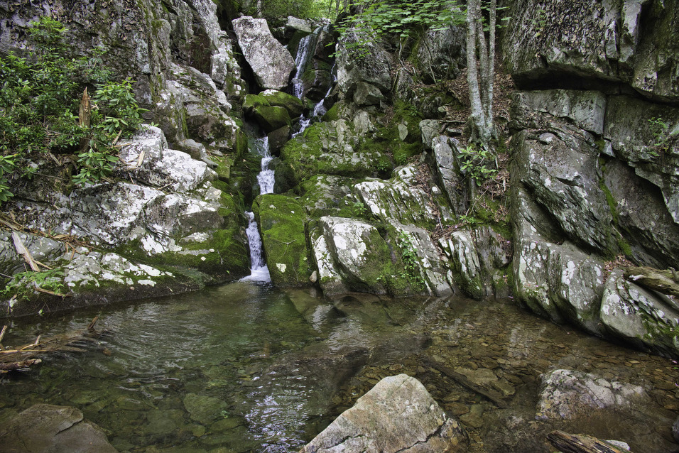
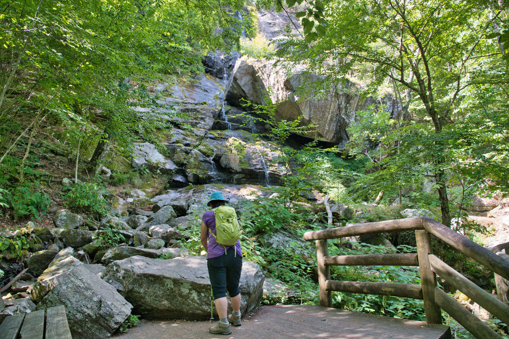
Highlights: Waterfalls, mountain views Distance: 4.4 mile loop Elevation Change: 886 feet Trail Surface: Dirt with several rocky sections Difficulty Level: Moderate (elevation)  Trailhead Parking: White Rock Gap parking area, Blue Ridge Parkway mile post 18.5 Website: AllTrails Beer Pairings: Brewing Tree Brewing Co.—Chapter 2 IPA & Flip Flop Pils The Hike: Most people like

White Rock Falls Read More »

Little Flat Mountain

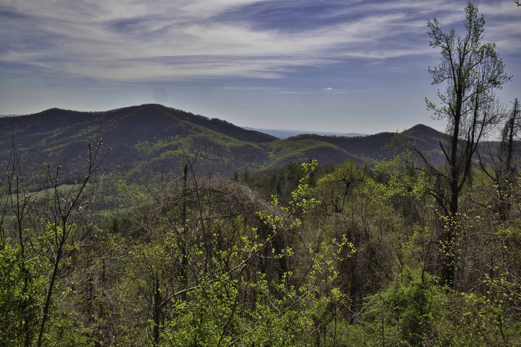
Highlights: Wildflowers, streams, mountain views Distance: 4.5 mile loop Elevation change: 1,263 feet Difficulty level: Moderate/strenuous Trailhead Parking: Patricia Ann Byrom Forest Preserve Park, 6610 Blackwells Hollow Road, Crozet, VA  Website: Albemarle County and AllTrails Beer Pairings: Skipping Rock Beer Co. Amber Lager & Bell’s Brewery Two Hearted Ale The Hike: This fun hike is

Little Flat Mountain Read More »

Back Bay Wildlife Refuge Loop

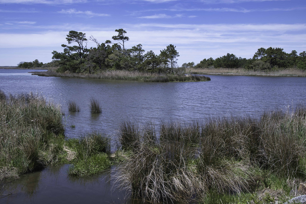
Highlights: Birding, ocean views, wildlife  Distance: 9.5 mile loop Elevation change: 35 feet Difficulty level: Moderate/strenuous Trailhead Parking: Visitor Contact Station, 4005 Sandpiper Road, Virginia Beach VA; park entry fee required Website: Back Bay National Wildlife Refuge, AllTrails, and False Cape State Park Beer Pairings: Reaver Beach Brewing Co.—Hammerhead IPA & Soup of the Night

Back Bay Wildlife Refuge Loop Read More »

Hughlett Point Preserve

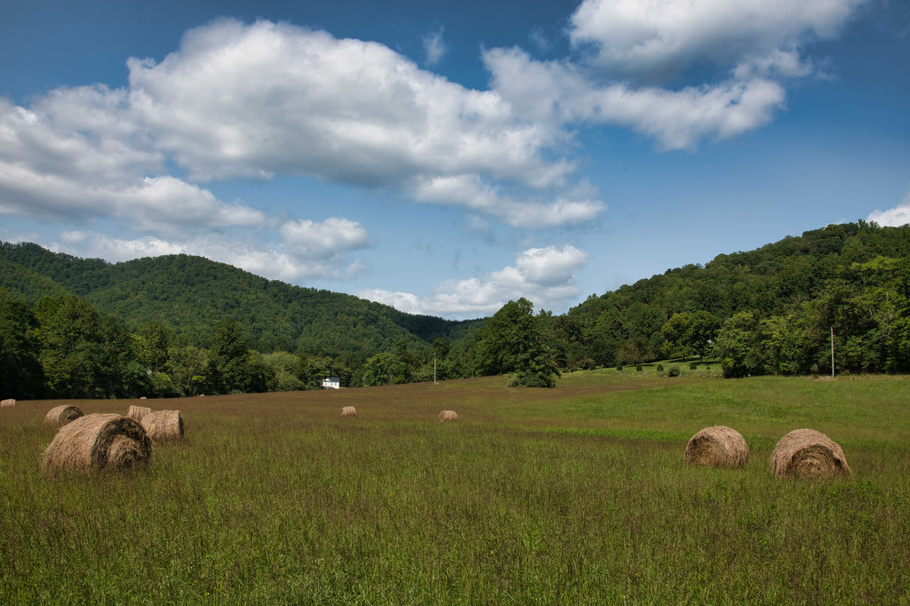
Highlights: Chesapeake Bay views, bird watching Distance: 3.2 mile loop Elevation change: 23 feet Difficulty level: Easy Trailhead Parking: Route 605, Kilmarnock VA, the small parking area accommodates 11 vehicles Website: Virginia Dept. of Conservation and Recreation Beer Pairings: Kilmarnock Brewhaus—Grier’s Gaire Pilsner & Edelweiss IPA The Hike: Located on Virginia’s Northern Neck, Hughlett Point

Hughlett Point Preserve Read More »

Rockfish River Trail

Highlights: Views, wildflowers, bird watching, Rockfish River Distance: 2.6 miles out and back Elevation change: 120 feet Difficulty level: Easy Trailhead Parking: Rockfish Valley Trail Trailhead parking area, Route 151, Nellysford VA Website: AllTrails and Rockfish Valley Trail System Beer Pairings: Brewing Tree Beer Co.—Chapter 2 IPA & Flip Flop Pilsner The Hike: This easy

Rockfish River Trail Read More »

Fortune’s Cove Preserve

Highlights: Mountain views, wildlife, wildflowers, stream crossings Distance: 3.7 miles loop Elevation change: 790 feet Difficulty level: Easy/Moderate Trailhead Parking: Route 651, Fortune’s Cove Lane, Lovingston VA Website: Fortune’s Cove Preserve  Beer Pairings: Wood Ridge Farm Brewery—Hop Notch IPA & Mr. Brown Stout The Hike: Fortune’s Cove is a hidden gem located about 40 miles

Fortune’s Cove Preserve Read More »

Apple Orchard Falls

Highlights: Waterfalls, rock formations, wildflowers, wildlife Distance: 2.8 miles out and back Elevation change: 995 feet Difficulty level: Easy/Moderate Trailhead Parking: Sunset Fields parking area, milepost 78.4 on the Blue Ridge Parkway Website: US Forest Service Beer Pairings: Peaks of Otter Lodge—Free Verse IPA & Gold Lager The Hike: Apple Orchard Falls is a popular

Apple Orchard Falls Read More »

Harkening Hill & Johnson Farm Loop

Highlights: Historic farm, views, rock formations, wildflowers, wildlife Distance: 4.3 mile loop Elevation change: 905 feet Difficulty level: Moderate Trailhead Parking: Peaks of Otter Visitor Center parking area, Blue Ridge Parkway mile post 86 Website: National Park Service Beer Pairings: Apocalypse Ale Works—Enticer Session IPA & D-Stroy IPA The Hike: First of all, Harkening Hill

Harkening Hill & Johnson Farm Loop Read More »

Hogback Mountain Loop

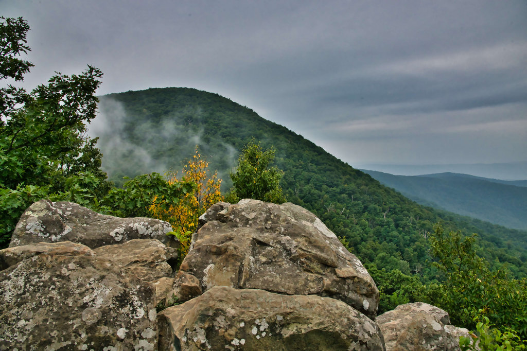
Highlights: Nice views, Appalachian Trail, wildflowers, wildlife, fall foliage Distance: 7.1 mile loop Elevation change: 1,123 feet Difficulty level: Moderate/Strenuous Trailhead Parking: Piney River parking area, Skyline Drive mile 22.3, park fee required Website: Shenandoah National Park Beer Pairings: Pen Druid Brewing Co.—Golden Swan Wild Ale & Arkansas Black Sparkling Cider The Hike: We cobbled

Hogback Mountain Loop Read More »