Machicomoco State Park
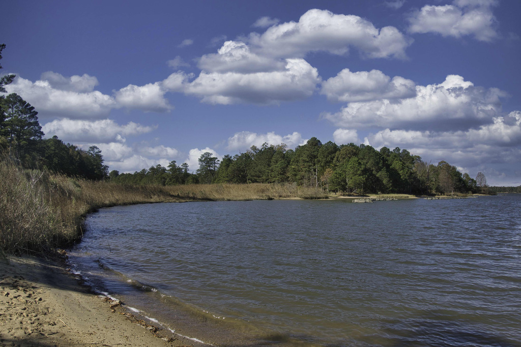
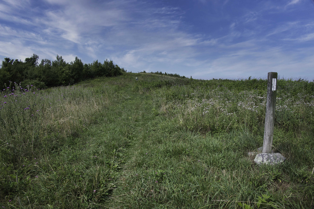
The Hike: Machicomoco is one of Virginia’s newest State Parks. This small park (645 acres) is home to diverse wildlife habitats, from open fields to woodlands and waterfront/marsh areas. The park is still a bit of a work in progress as more trails and facilities are planned. The park currently has three hiking trails. Our […]
Machicomoco State Park Read More »