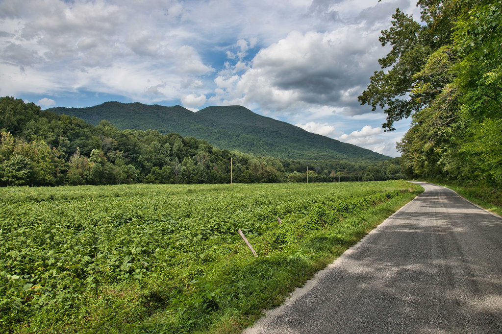
Fortune’s Cove Preserve

Highlights: Mountain views, wildlife, wildflowers, stream crossings Distance: 3.7 miles loop Elevation change: 790 feet Difficulty level: Easy/Moderate Trailhead Parking: Route 651, Fortune’s Cove Lane, Lovingston VA Website: Fortune’s Cove Preserve  Beer Pairings: Wood Ridge Farm Brewery—Hop Notch IPA & Mr. Brown Stout The Hike: Fortune’s Cove is a hidden gem located about 40 miles […]

Fortune’s Cove Preserve Read More »

Lewis Falls & Blackrock

Highlights: Waterfalls, views, wildflowers, wildlife Distance: 3.3 mile loop Elevation change: 990 feet Difficulty level: Moderate Trailhead Parking: Big Meadows Lodge parking area, Skyline Drive mile 51, park fee required Website: Shenandoah National Park Beer Pairings: Big Meadows Lodge—Fresh Squeezed IPA by Deschutes Brewery & Amber Lager by Skipping Rock Beer Co. The Hike: This

Lewis Falls & Blackrock Read More »

York River State Park

Highlights: River and marsh views, birdwatching, wildflowers Distance: 6.7 miles out and back Elevation change: 257 feet Difficulty level: Moderate Trailhead Parking: York River State Park Visitor Center, 9801 York River Park Rd., Williamsburg, VA park fee required  Website: York River State Park Beer Pairings: Talleysville Brewing Co.—Broken Post Pilsner & Pinch Point APA The

York River State Park Read More »

AT: Pinnacle to Mary’s Rock

Highlights: Views, wildlife, Byrd’s Nest #3, Pinnacle summit, birdwatching, wildflowers Distance: 7.1 miles out and back Elevation change: 1,370 feet Difficulty level: Moderate/strenuous Trailhead Parking: Pinnacles Picnic area, Skyline Drive mile 36.7, park fee required  Website: AllTrails Beer Pairings: Old Trade Brewing—Mitch is Bitter ESB & Foggy Morning IPA The Hike: There are several ways

AT: Pinnacle to Mary’s Rock Read More »

Mary’s Rock

Highlights: Views, wildlife, birdwatching, Appalachian Trail Distance: 2.9 miles out and back Elevation change: 830 feet Difficulty level: Easy/moderate Trailhead Parking: Meadow Spring parking area, Skyline Drive mile 33.5, park fee required Website: Shenandoah National Park Beer Pairings: Hopkins Ordinary Ale Works—End of the Trail Pale Ale & Sperryville VeryChill Kölsch The Hike: There are

Mary’s Rock Read More »

AT: Beagle Gap to Calf Mountain Shelter

Highlights: Meadows, views, wildlife, birdwatching, wildflowers, AT shelter Distance: 4.9 miles out and back Elevation change: 821 feet Difficulty level: Moderate Trailhead Parking: Beagle Gap parking area, Skyline Drive mile 99.5, park fee required Website: Hiking Upward Beer Pairings: Dr. Ho’s Humble Pie—Skipping Rock Kolsch & Blue Mountain Full Nelson The Hike: This hike follows

AT: Beagle Gap to Calf Mountain Shelter Read More »

Windsor Castle Park

Highlights: Historic buildings, wildlife, birdwatching, creek and marsh views Distance: 4.1 miles loop Elevation change: 64 feet Difficulty level: Easy Trailhead Parking: Dan Smith Drive parking area, Smithfield VA Website: Windsor Castle Park Beer Pairings: Wharf Hill Brewing—Holy Brale brown ale & Outage IPA The Hike: Windsor Castle Farm in Smithfield was originally part of

Windsor Castle Park Read More »

Apple Orchard Falls

Highlights: Waterfalls, rock formations, wildflowers, wildlife Distance: 2.8 miles out and back Elevation change: 995 feet Difficulty level: Easy/Moderate Trailhead Parking: Sunset Fields parking area, milepost 78.4 on the Blue Ridge Parkway Website: US Forest Service Beer Pairings: Peaks of Otter Lodge—Free Verse IPA & Gold Lager The Hike: Apple Orchard Falls is a popular

Apple Orchard Falls Read More »

Harkening Hill & Johnson Farm Loop

Highlights: Historic farm, views, rock formations, wildflowers, wildlife Distance: 4.3 mile loop Elevation change: 905 feet Difficulty level: Moderate Trailhead Parking: Peaks of Otter Visitor Center parking area, Blue Ridge Parkway mile post 86 Website: National Park Service Beer Pairings: Apocalypse Ale Works—Enticer Session IPA & D-Stroy IPA The Hike: First of all, Harkening Hill

Harkening Hill & Johnson Farm Loop Read More »

Blue Ridge Tunnel

Highlights: Historic railroad tunnel Distance: 4.6 miles out and back Elevation change: 456 feet Difficulty level: Easy Trailhead Parking: East Trailhead 215 Afton Depot Lane, Afton VA Website: Nelson County Beer Pairings: Wild Man Dan Brewery—Rye She Knows IPA & BoHo Slipper Pilsner The Hike: This easy hike follows the path of a historic railroad

Blue Ridge Tunnel Read More »