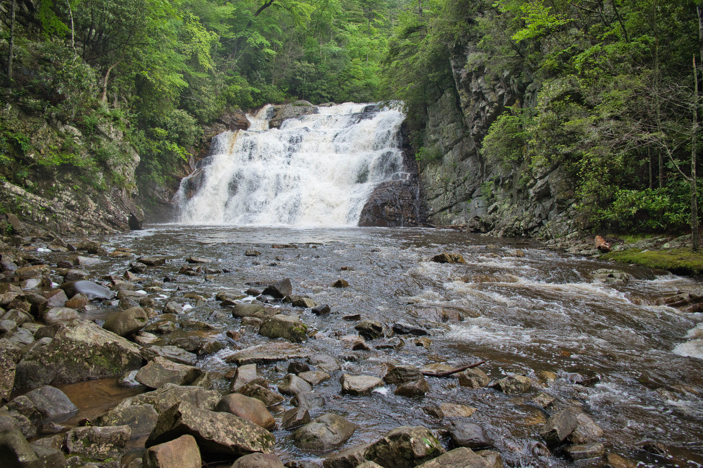
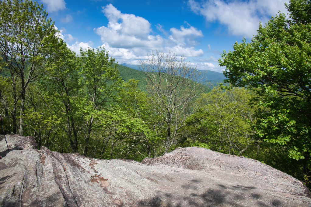
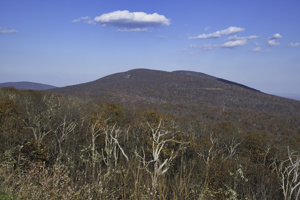
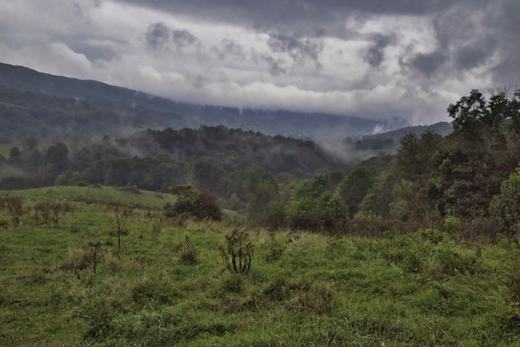
Appalachian Trail

Watauga Lake & Dam

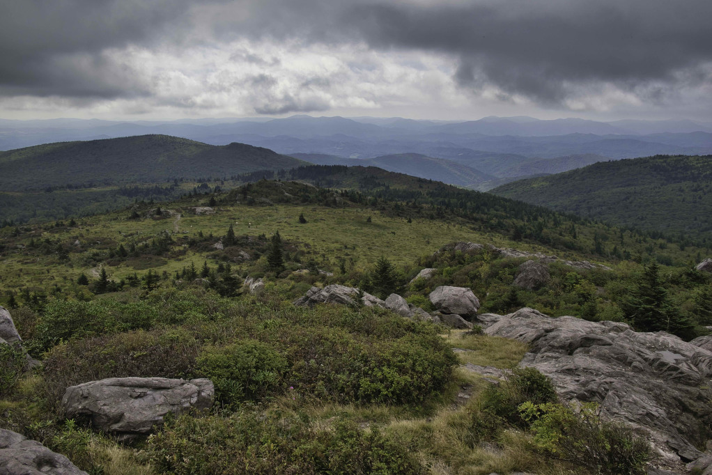
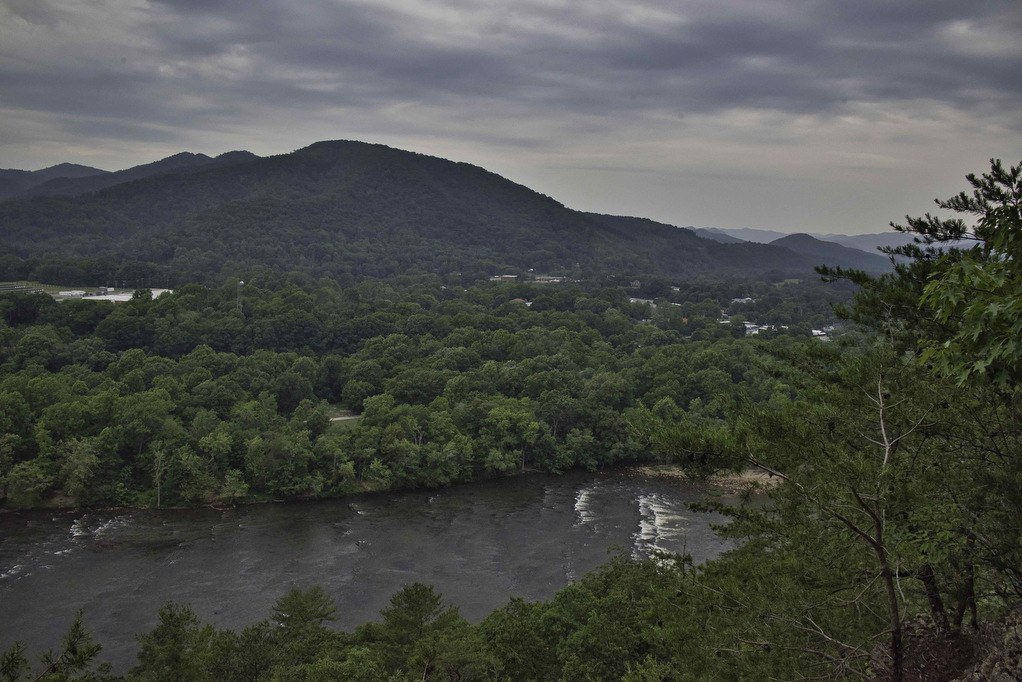
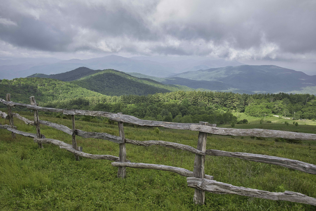
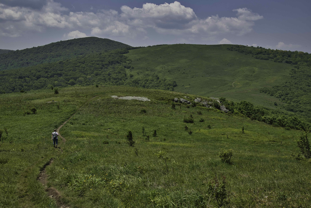
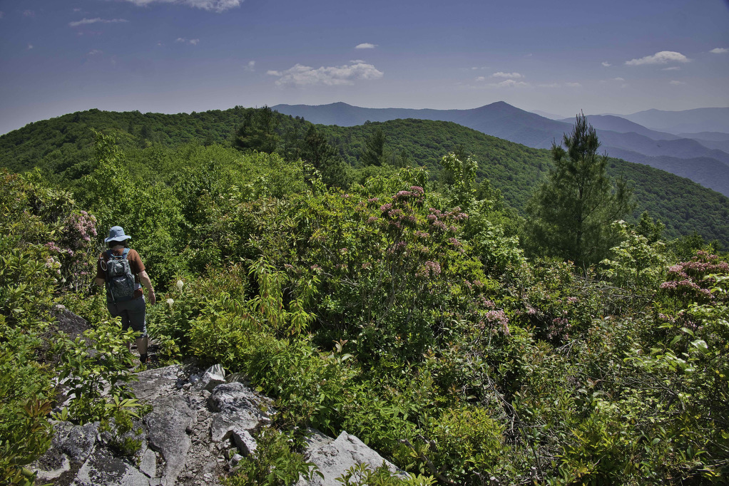
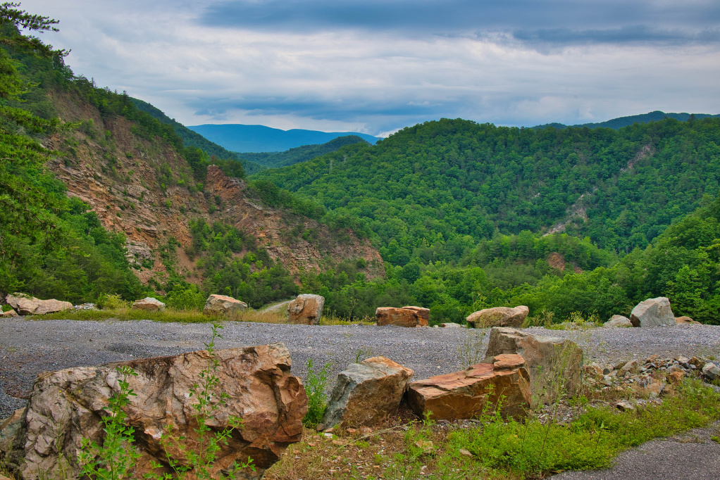
Trail Map: This is a nice walk in the woods on the AT with some decent mountain and lake views. The AT crosses over the Watauga Dam which spans the Watauga River Gorge. The AT enters the Shook Branch Recreation Area near the beach. Follow the AT northbound through a hardwood forest with several nice […]

Watauga Lake & Dam Read More »

Laurel Fork Falls

Trail Map: The Hike: There are two hikes on the AT to Laurel Fork Falls—this is the shorter one. The other hike is a bit further north and follows the AT southbound for 2.5 miles. This hike follows the AT northbound. We planned three AT hikes on one day, so we got an early start.

Laurel Fork Falls Read More »

Mount Marshall via the AT

Trail Map: The Hike: We were originally planning to do this hike in mid-October for peak foliage views. However, we had too many schedules to coordinate so we hiked on a beautiful day in early November after all the leaves were down. Pete’s sister Nan, our niece Hannah, and nephew Jack joined us on this

Mount Marshall via the AT Read More »

AT & Golden Winged Warbler Loop

Trail Map: The Hike: This is a great hike if you’re looking for solitude along with some great views. We hiked on a rainy Saturday and only encounter three other hikers. The Golden Winged Warbler has experienced a dramatic decrease in population in the past 50 years. Its namesake trail passes through ideal habitat for

AT & Golden Winged Warbler Loop Read More »

AT, Wilburn Ridge & Crest Loop

Trail Map: The Hike: This fantastic hike has a little bit of everything: sweeping vistas, wild ponies, free range cattle, rhododendrons, rock scrambles, stream crossings, and dense forests. It’s one of our all-time favorites. The trails are well marked and well maintained. Several trails are combined to form this loop so download the AllTrails map

AT, Wilburn Ridge & Crest Loop Read More »

Big Hump & Little Hump Balds

Trail Map: The Hike: This Appalachian Trail section hike reaches two bald summits—Little Hump and Big Hump. The road to the trailhead is gravel/dirt for the last two miles or so. There are some deep ruts and washed-out areas. Our AWD Subaru had no problem. The parking area is on the left, a gate blocks

Big Hump & Little Hump Balds Read More »

Big Firescald Knob

Trail Map: The Hike: This section hike on the Appalachian Trail straddles the North Carolina/Tennessee state line. The open ridge provides spectacular views of both states. The road to the trailhead is paved for a few miles and then turns to gravel/dirt. We had no problems with our AWD Subaru and it should be passable

Big Firescald Knob Read More »