Medium 3-6 Miles

Rose River Falls Loop Trail

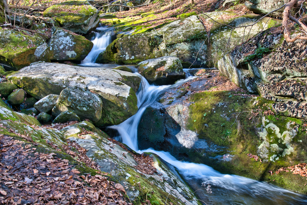
The Hike: We really enjoyed this hike. It has great views of two waterfalls and is located in one of Park’s federally designated Wilderness areas. The trailhead is located near Skyline Drive. An information sign has a map and trail details. This is a loop hike, so you can go in either direction. We chose […]

Rose River Falls Loop Trail Read More »

Stony Man/Passamaquoddy Loop

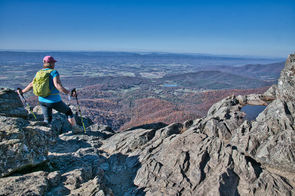
Highlights: Great views, mountains, Shenandoah National Park, Appalachian Trail Distance:  3.4 mile loop  Elevation change: 850 feet Difficulty level: Moderate Trailhead Parking: Skyline Drive, mile 41.7, Stony Man parking area Website: National Park Service Beer Pairings: Basic City Beer Company 6th Lord IPA The Hike: This is a fun hike with some great views. The

Stony Man/Passamaquoddy Loop Read More »

Little Devil Stairs

Highlights: Waterfalls, mountains, Shenandoah National Park, stream crossings Distance:  5.5 mile loop Elevation change: 1,490 feet Difficulty level: Strenuous Trailhead Parking: US 211 north of Sperryville, left on route 622 (Gidbrown Hollow Road) and then left on route 614 (Keyser Run Road). At the end of route 614 there is a small parking lot. The

Little Devil Stairs Read More »

Spy Rock

Highlights: Rocky summit, panoramic views, fall foliage, Appalachian Trail Distance:  5.8 mile out and back Elevation change:  1,200 feet Difficulty level: Moderate Trailhead Parking: State Route 828 (Meadows Lane) near Tyro, Virginia Website: AllTrails and US Forest Service Beer Pairings: Seven Sisters Brewery, Mary old ale & Maggie imperial IPA The Hike: In the old days

Spy Rock Read More »

Siler Bald via the AT

Highlights: grassy summit, views, fall foliage, Appalachian Trail, Nantahala National Forest Distance:  3.6 mile out and back Elevation change:  1,000 feet Difficulty level: Moderate Trailhead Parking: Wayah Gap picnic area on Wayah Road, about 14 miles west of Franklin NC Website: AllTrails Beer Pairings: Lazy Hiker Brewing: Springer Fever pilsner and 20 Mile IPA The

Siler Bald via the AT Read More »

Wilburn Ridge via the AT

Highlights: wild ponies, wildflowers, wildlife, great views Distance:  4.0 mile loop Elevation change: 850 feet Difficulty level: Moderate Trailhead Parking: Grayson Highland State Park, Massie Gap parking area; park fee required Website: Grayson Highland State Park Trail Guide Beer Pairings: Damascus Brewery-Preppy Harvard Boy IPA & Beaver Ridge IPA The Hike: This hike is a

Wilburn Ridge via the AT Read More »

Humpback Rocks

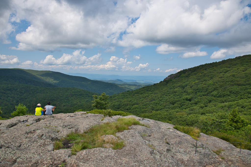
Highlights: mountain views, rocky summit, Appalachian Trail Distance:  3.8 out and back Elevation change:  1,120 feet Difficulty level: Moderate/Strenuous Trailhead Parking: Visitor Center, Blue Ridge Parkway mile 5.8 Website: National Park Service Beer Pairings: Pro Re Nata Brewery, Crozet VA Hop Drone IPA & Tapped Out pilsner The Hike: This popular hike can be crowded

Humpback Rocks Read More »

Crabtree Falls (Virginia)

Highlights: Highest waterfalls east of the Mississippi, classic Virginia bucket list hike  Distance: 4 mile out and back Elevation change:  1,070 feet Difficulty level: Moderate/strenuous Trailhead Parking: Crabtree Falls day use parking area, off state route 56 in Nelson county VA. $3 parking fee. Website: US Forest Service Beer Pairings: Blue Mountain Native Species pale

Crabtree Falls (Virginia) Read More »

Grassy Ridge Bald, Jane Bald, and Round Bald on the AT

Highlights: Three bald summits, spectacular views, blaze orange azaleas, Roan Highlands, Appalachian Trail Distance:  4.9 mile out and back Elevation change:  1,030 feet Difficulty level: Moderate Trailhead Parking: Carver’s Gap at the NC/TN state line; Tennessee route 143 and North Carolina route 261 Website: AllTrails Beer Pairings: Sierra Nevada Pale Ale & Dankful IPA The

Grassy Ridge Bald, Jane Bald, and Round Bald on the AT Read More »

Chestnut Knob

Highlights: Burke’s Garden, views, bald summit, Appalachian Trail Distance:  4.2 mile out and back Elevation change:  1,400 feet Difficulty level: Strenuous Trailhead Parking: From Burke’s Garden General Store on route 623, continue south east for 1.1 miles. Turn left on route 727 and follow for 4 miles until the road becomes a one lane dirt

Chestnut Knob Read More »