Short < 3 Miles

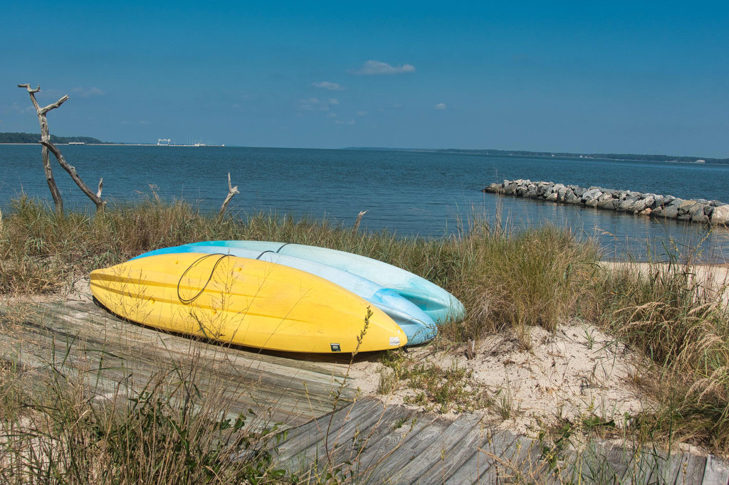
Yorktown Riverwalk

Highlights: River views, birdwatching, historic buildings Distance: 3 miles out and back Elevation change: 97 feet Difficulty level: Easy Trailhead Parking: Yorktown Battlefield Vistor Center, 1000 Colonial Parkway, Yorktown Website: Visit Yorktown Beer Pairings: That Damn Mary Brewing Co.—Proud Mary IPA & Funkedcluster IPA The Hike: This easy hike is more of a walk with […]

Yorktown Riverwalk Read More »

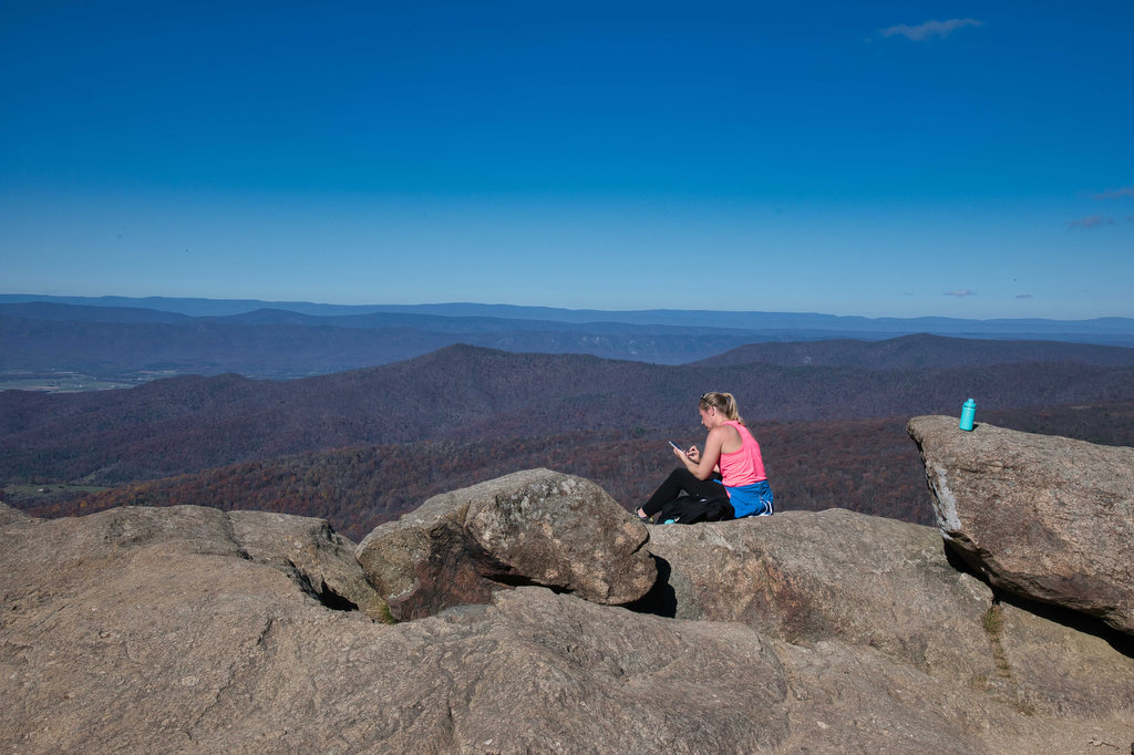
Mary’s Rock

Highlights: Views, wildlife, birdwatching, Appalachian Trail Distance: 2.9 miles out and back Elevation change: 830 feet Difficulty level: Easy/moderate Trailhead Parking: Meadow Spring parking area, Skyline Drive mile 33.5, park fee required Website: Shenandoah National Park Beer Pairings: Hopkins Ordinary Ale Works—End of the Trail Pale Ale & Sperryville VeryChill Kölsch The Hike: There are

Mary’s Rock Read More »

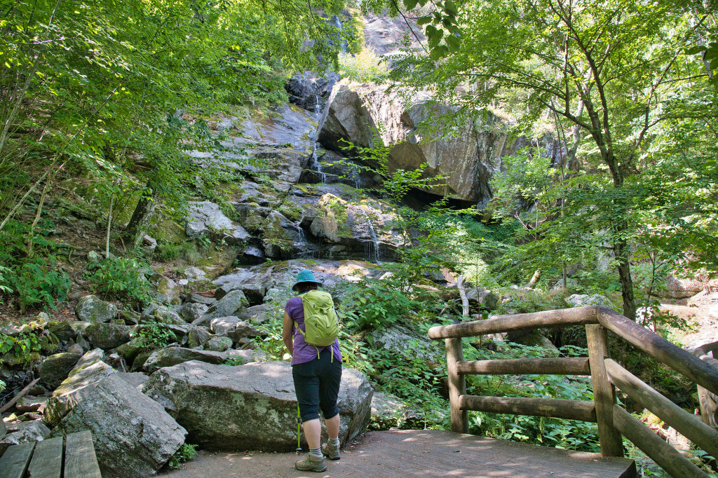
Apple Orchard Falls

Highlights: Waterfalls, rock formations, wildflowers, wildlife Distance: 2.8 miles out and back Elevation change: 995 feet Difficulty level: Easy/Moderate Trailhead Parking: Sunset Fields parking area, milepost 78.4 on the Blue Ridge Parkway Website: US Forest Service Beer Pairings: Peaks of Otter Lodge—Free Verse IPA & Gold Lager The Hike: Apple Orchard Falls is a popular

Apple Orchard Falls Read More »

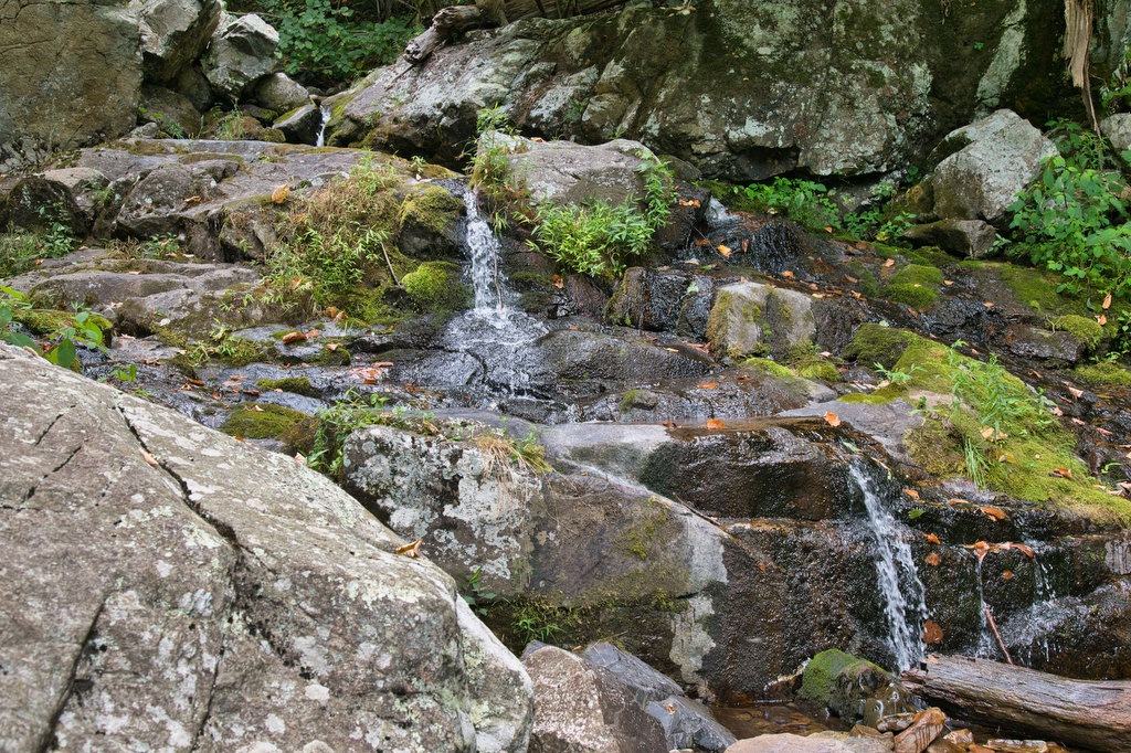
Fallingwater Cascades

Highlights: Waterfall, rock formations, wildflowers, wildlife Distance: 1.6 mile loop Elevation change: 410 feet Difficulty level: Easy Trailhead Parking: Flat Top parking area, Blue Ridge Parkway mile post 83.5 Website: National Park Service Beer Pairings: Beale’s Brewery—Purple Mountain Pilsner & Red IPA The Hike: This short hike leads to a waterfall and series of cascades.

Fallingwater Cascades Read More »

Sintra Palace and Castle Loop

Highlights: views, Pena Palace, Villa Sassetti, and Moorish castle Distance: 2.6 mile loop Elevation change: 1,025’ Difficulty level: Moderate Trailhead Parking: Sintra Portugal, Estrada de Pena near the Moorish Fountain Website: Sintra Parks Beer Pairings: Lord Byron Pub—Super Bock & Sagres The Hike: For our European friends (and others lucky enough to visit Portugal) this

Sintra Palace and Castle Loop Read More »

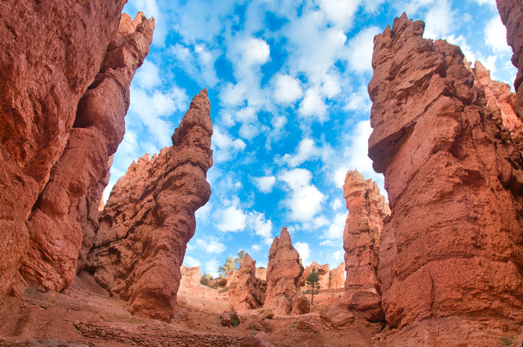
Queen’s Garden & Navajo Loop

Highlights: Rock formations, amazing views Distance: 2.9 mile loop Elevation change: 600 feet Difficulty level: Easy/Moderate Trailhead Parking: Sunset Point overlook, park shuttle stop # 11 Website: Bryce National Park Beer Pairings: Bryce Canyon Lodge—Wasatch 1st Amendment Lager & Squatters Full Suspension Pale Ale The Hike: Keeping with our western theme, we have been to

Queen’s Garden & Navajo Loop Read More »

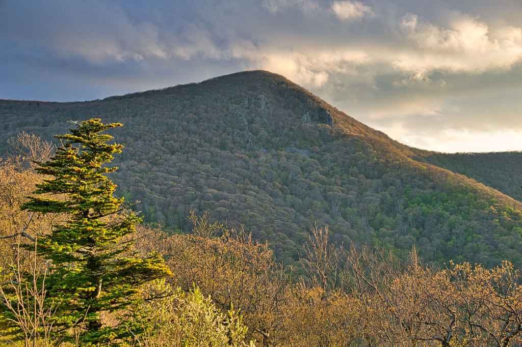
Hawksbill Summit Loop

Highlights: Great views, peregrine falcons, wildflowers Distance: 2.9 mile loop Elevation change: 860 feet Difficulty level: Easy/Moderate Trailhead Parking: Hawksbill Gap parking area, Skyline Drive mile post 45. Website: Shenandoah National Park  Beer Pairings: Hawksbill Brewing Company—Hooray for Luray IPA & Shenandoah Sunrise Porter The Hike: At 4,050’ Hawksbill is the highest peak in Shenandoah

Hawksbill Summit Loop Read More »

Whiteside Mountain

Highlights: Great views, rock cliffs, wildflowers Distance: 2 mile loop Elevation change: 550 feet Difficulty level: Easy/Moderate Trailhead Parking: State Route 1680 between Highlands and Cashiers, fee required  Website: US Forest Service Beer Pairings: Highland Brewing—Gaelic Ale & Daycation IPA The Hike: This short hike has some great mountain views, geology, and history. From the

Whiteside Mountain Read More »

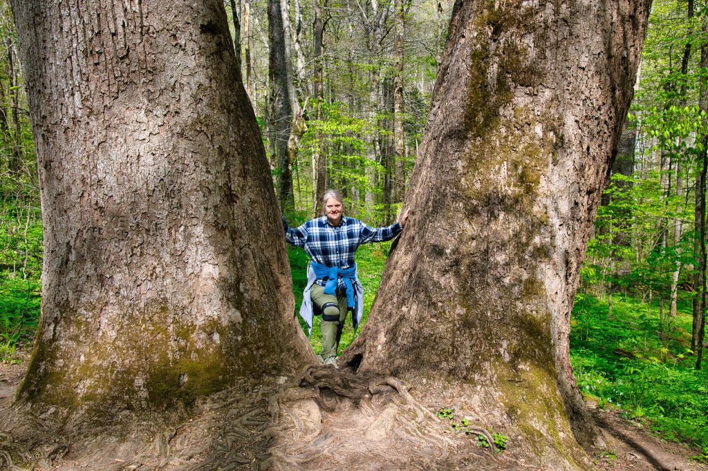
Joyce Kilmer Memorial Forest

Highlights: Old growth forest, wildflowers, wildlife Distance: 2 mile loop Elevation change: 370 feet Difficulty level: Easy Trailhead Parking: Joyce Kilmer Memorial Forest, Joyce Kilmer Road Website: US Forest Service Beer Pairings: Mountain Layers Brewery—Dragon Tamer IPA & Fontana Hoppiness The Hike: Many of the forests in western North Carolina were clearcut in the late

Joyce Kilmer Memorial Forest Read More »

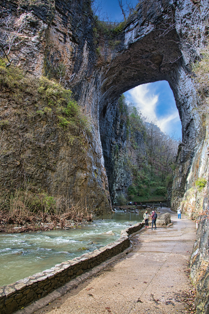
Natural Bridge & Cedar Creek Trail

Highlights: Natural bridge, waterfall Distance: 2 miles out and back Elevation change: 387 feet Difficulty level: Easy Trailhead Parking: Visitor Center, 6477 South Lee Highway, Natural Bridge, VA Website: Natural Bridge State Park  Beer Pairings: Great Valley Farm Brewery—IPA & Coffee Stout The Hike: This easy hike is more of a stroll through the woods

Natural Bridge & Cedar Creek Trail Read More »