National Forest

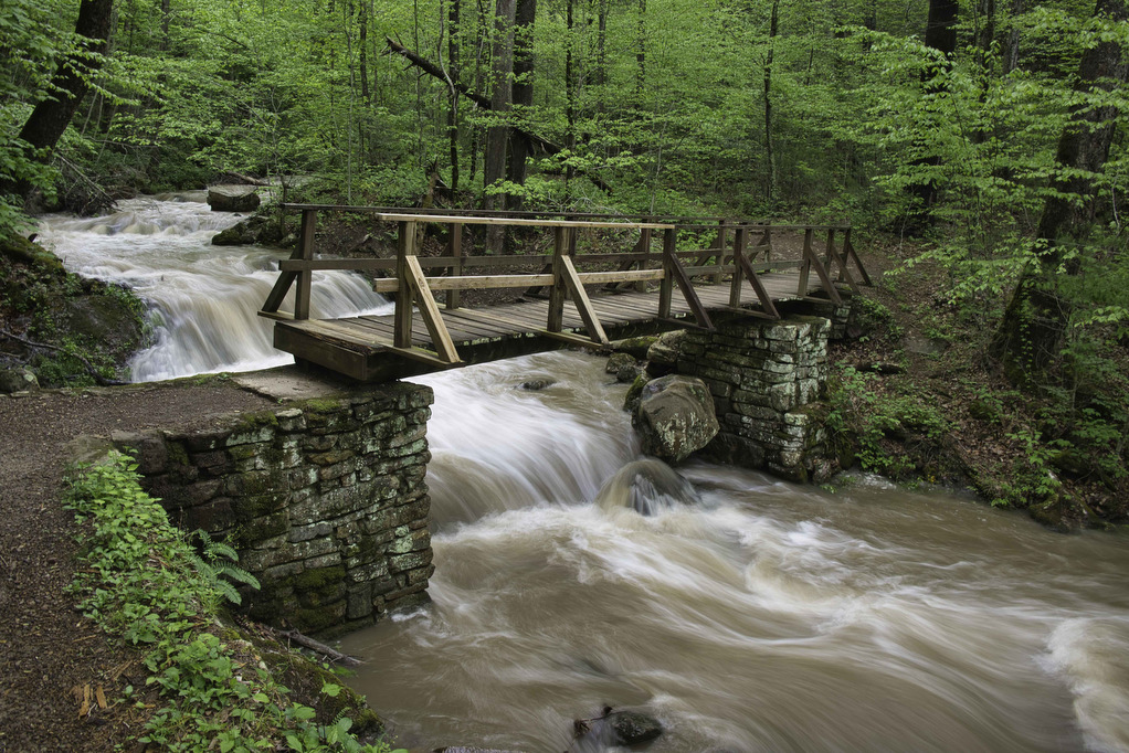
Roaring Run Hoop Hole

The Hike: This easy hike passes beside Roaring Run much of the way. We hiked following heavy rains and the stream was full and the falls were spectacular. This loop trail combines the Woodland Trail and the Streamside Trail. Both trails begin near the trail kiosk by the restrooms.  We began the loop by following […]

Roaring Run Hoop Hole Read More »

Pete’s Cave/ North Mountain

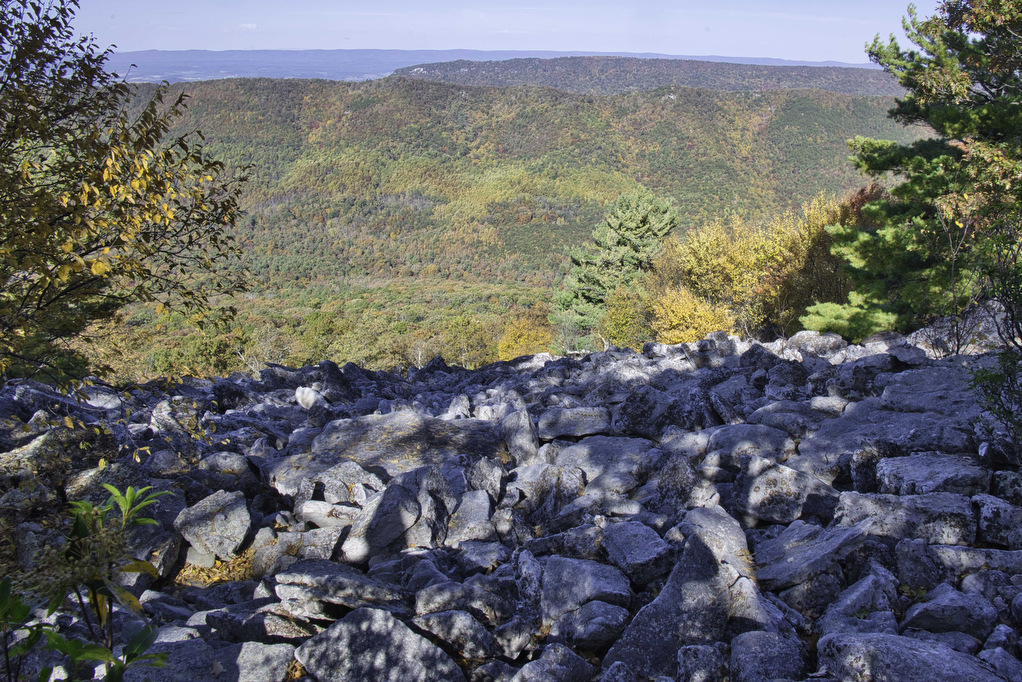
The Hike: Full disclosure 1: Pete’s Cave isn’t named after Hoppy Hiker Pete, despite his claims to the contrary. Full disclosure 2: There really isn’t a cave, just a large jumble of boulders. Despite the poetic license of “cave”, this is a great hike. Getting to the trailhead is a bit of an adventure. State

Pete’s Cave/ North Mountain Read More »

Hanging Rock (WV) Observatory

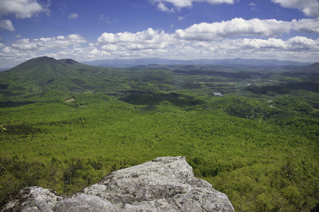
The Hike: This short hike has some great views with minimal hiking effort. Located in the Potts Creek Wildlife Management Area in West Virginia, this hike climbs up Peters Mountain on the Eastern Continental Divide to a raptor observatory. The hike travels along the Allegheny Trail a 311-mile long trail stretching from Pennsylvania to West

Hanging Rock (WV) Observatory Read More »

Apple Orchard Falls & Cornelius Creek Loop

The Hike: We hiked to Apple Orchard Falls in the dry summer of 2021. The water level in the falls that year was just a trickle—but it was still a great hike. We wanted to go back when the water level was higher to see the 200’ falls in all of its glory.  Kathy is

Apple Orchard Falls & Cornelius Creek Loop Read More »

Sulphur Springs Loop

The Hike: From the trailhead on Petites Gap Road, we elected to hike counterclockwise leaving the 2.8 mile section of gravel road for the end. From the parking area, follow the white-blazed Appalachian Trail northbound. The climb begins immediately and the trail gains nearly 700’ in elevation over the first mile.  We hiked in early

Sulphur Springs Loop Read More »

Duncan Knob & Strickler Knob

Highlights: Great views, two great rock scrambles, Massanutten Mountain Distance: 9.3 miles out and back Elevation Change 1,860 feet Trail Surface: Rocky with a few dirt sections Difficulty Level: Strenuous (distance, elevation gain, extremely rocky sections) Trailhead Parking: Gap Creek Trailhead, Crisman Hollow Road (FR 274) search Google Maps for “Gap Creek Trailhead”. Note: Crisman

Duncan Knob & Strickler Knob Read More »

Kennedy Peak

Highlights: Great views, Massanutten Mountain Trail Distance: 5.2 miles out and back Elevation Change 791 feet Trail Surface: Dirt with rocky sections Difficulty Level: Moderate (distance, elevation gain, rocky sections) Trailhead Parking: Edith’s Gap, state route 675; search Google maps for “Edith’s Gap launch area” Website: AllTrails Beer Pairings: Swover Creek Farm Brewery—Nut Brown Ale

Kennedy Peak Read More »

Cascade Falls to Barney’s Wall

Highlights: Waterfalls, Little Stony Creek Gorge, Barney’s Wall Cliff Views Distance: 8.8 miles loop Elevation Change: 1,650 feet Trail Surface: Rocky Difficulty Level: Strenuous (rocky surface, elevation gain) Trailhead Parking: Cascades Day Use Parking Area, route 623 in Pembroke VA; $3 parking fee required Website: AllTrails and Hiking Upward Beer Pairings: Moon Hollow Brewing Co.—Lunatic

Cascade Falls to Barney’s Wall Read More »

Angel’s Rest

Highlights: Appalachian Trail, 2 great views Distance: 5.0 miles out and back Elevation Change: 1,840 feet Trail Surface: Rocky Difficulty Level: Moderate/strenuous (rocky surface, elevation gain) Trailhead Parking: AT Trailhead, Cross Avenue, route 793 Pearisburg VA. From Blacksburg take US 460 west to route 100 south, right on Johnston Ave., first right on route 793,

Angel’s Rest Read More »