Virginia

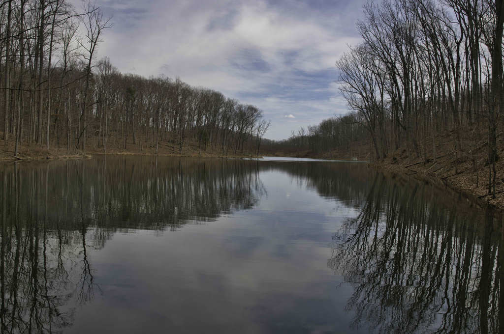
Ragged Mountain Loop

Highlights: Lake views, wooden statues, wildflowers Distance: 6.8 miles loop Elevation change: 1,045 feet Difficulty level: Moderate Trailhead Parking: Ragged Mountain Natural Area, 1770 Reservoir Road, Charlottesville Website: Charlottesville Parks & Recreation Beer Pairings: Rockfish Brewery—English Brown Ale & New England IPA The Hike: The Ragged Mountain Natural Area is a 980-acre forest located in […]

Ragged Mountain Loop Read More »

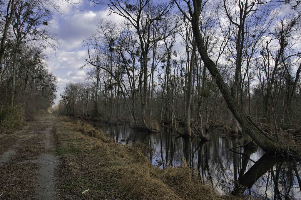
Great Dismal Swamp to Lake Drummond

Highlights: Historic site, Lake Drummond, Great Dismal Swamp Distance: 9.1 miles out and back Elevation change: 42 feet Difficulty level: Easy/Moderate Trailhead Parking: Washington Ditch entrance – 3076 White Marsh Road, Suffolk, VA. Follow the gravel road past the entry gate for one mile to the parking area Website: US Fish & Wildlife Service Beer

Great Dismal Swamp to Lake Drummond Read More »

Appomattox National Historical Park Loop

Highlights: Historic sites, monuments, Appomattox River Distance: 6.6 miles loop Elevation change: 426 feet Difficulty level: Easy/Moderate Trailhead Parking: Lee’s Headquarters parking area, route 24 Appomattox VA Website: National Park Service and AllTrails Beer Pairings: Loose Shoe Brewery—The Apprentice brown ale & Strait Up Amarillo IPA The Hike: We have been to Appomattox Court House

Appomattox National Historical Park Loop Read More »

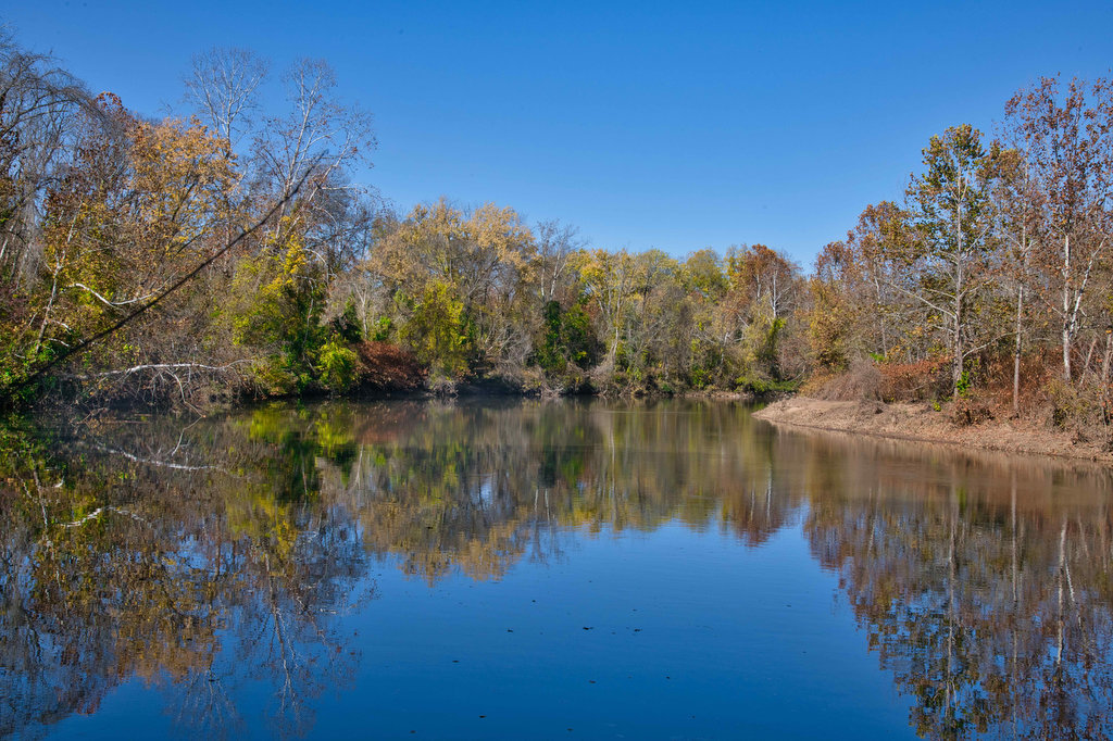
Rivanna River Trail

Highlights: Historic Woolen Mills, Riverview Park, Rivanna River Distance: 4.2 miles out and back Elevation change: 170 feet Difficulty level: Easy Trailhead Parking: Wool Factory, 1837 Broadway St., Charlottesville, VA Website: Rivanna Trails Beer Pairings: Selvedge Brewing Co.—Britches Get Stitches IPA & Flannel Stout The Hike: The Rivanna Trail is a 20-mile network of multi-use

Rivanna River Trail Read More »

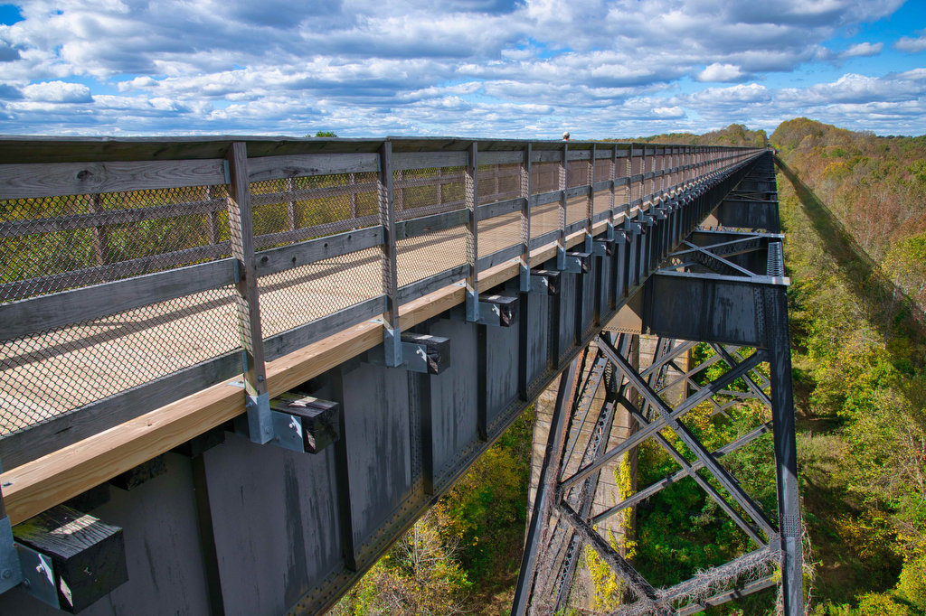
High Bridge Trail

Highlights: Historic High Bridge, civil war earthworks, Appomattox River Distance: 8.2 mile out and back Elevation change: 270 feet Difficulty level: Easy/moderate Trailhead Parking: High Bridge Trail State Park, Camp Paradise parking area, 1466 Camp Paradise Road; Rice, VA, park fee required. Website: High Bridge Trail State Park Beer Pairings: Three Roads Brewing Co.—Drive By

High Bridge Trail Read More »

Bearfence Rock Scramble

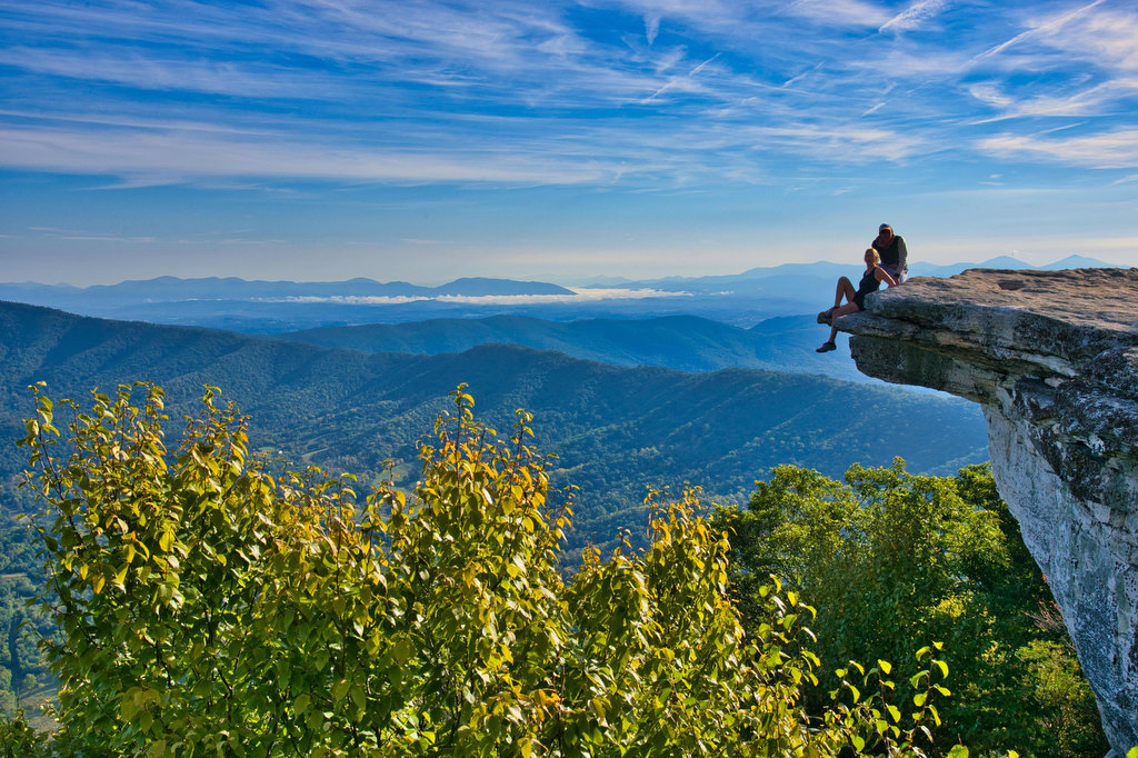
Highlights: Fantastic views, rock scramble, Appalachian Trail Distance: 1.1 mile loop Elevation change: 217 feet Difficulty level: Moderate with rock scramble, easy without the scramble Trailhead Parking: Skyline Drive Bearfence Trailhead parking area mile 56.4, park fee required Website: Shenandoah National Park Beer Pairings: Octonia Stone Brew Works—Rokuhnite Me Amadeus lager & Worth One’s Basalt

Bearfence Rock Scramble Read More »

South River Falls Loop

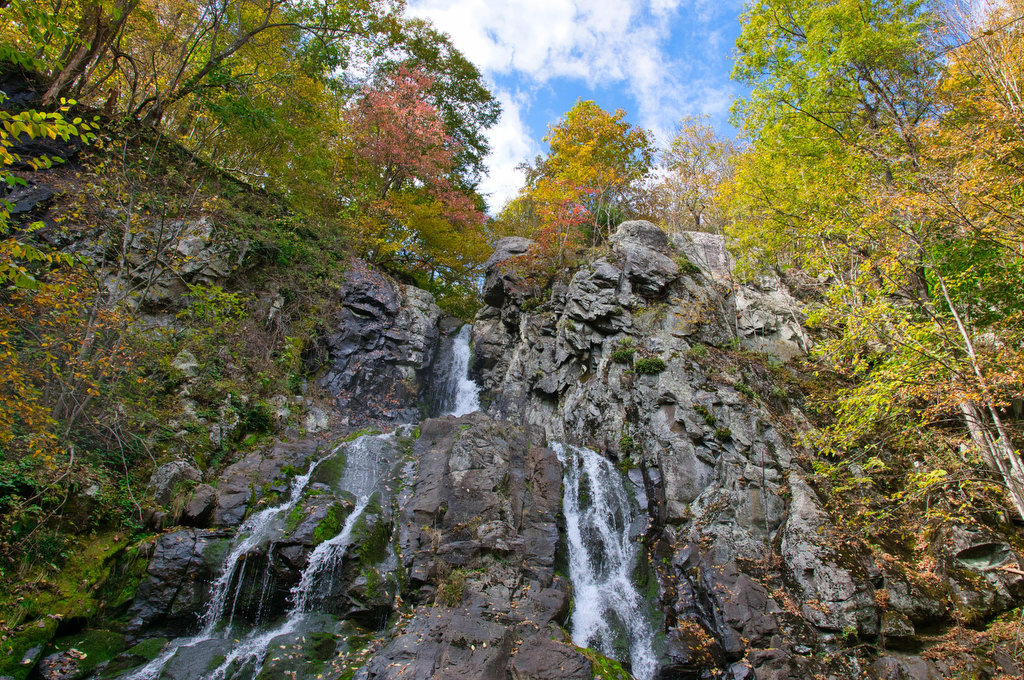
Highlights: Waterfalls, wildflowers, Appalachian Trail Distance: 4.9 mile loop Elevation change: 1,081 feet Difficulty level: Moderate Trailhead Parking: Skyline Drive South River Picnic Area mile post 63, park fee required. Park near the rest rooms at the far end of the picnic grounds. Website: Shenandoah National Park Beer Pairings: Patch Brewing Co.—Home Field Advantage porter

South River Falls Loop Read More »

Crabtree Falls to The Priest

Highlights: Views, wildflowers, wildlife, waterfalls, Appalachian Trail Distance: 10.5 miles out and back Elevation change: 2,570 feet Difficulty level: Strenuous Trailhead Parking: Crabtree Falls Trailhead parking area, Route 56, Tyro VA, $3 parking fee Website: AllTrails Beer Pairings: Blue Mountain Barrel House—Red Zeppelin Red IPA & Classic Lager The Hike: The Priest is a famous

Crabtree Falls to The Priest Read More »

Rockfish River Trail

Highlights: Views, wildflowers, bird watching, Rockfish River Distance: 2.6 miles out and back Elevation change: 120 feet Difficulty level: Easy Trailhead Parking: Rockfish Valley Trail Trailhead parking area, Route 151, Nellysford VA Website: AllTrails and Rockfish Valley Trail System Beer Pairings: Brewing Tree Beer Co.—Chapter 2 IPA & Flip Flop Pilsner The Hike: This easy

Rockfish River Trail Read More »