views

AT: Compton Peak & Fort Windham Rocks

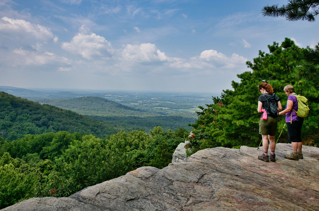
Highlights: Nice views, unique geology, rock scrambles, Appalachian Trail, wildflowers, wildlife Distance: 6.1 miles out and back Elevation change: 1,281 feet Difficulty level: Moderate/Strenuous Trailhead Parking: Jenkins Gap parking area, Skyline Drive mile 12.4, park fee required Website: Shenandoah National Park Compton Peak and Fort Windham Rocks  Beer Pairings: Front Royal Brewing Co.—Park Pass Helles […]

AT: Compton Peak & Fort Windham Rocks Read More »

AT: Bear’s Den to Raven Rocks

Highlights: Great views, Appalachian Trail, wildflowers, rock outcroppings Distance: 7 miles out and back Elevation change: 1,468 feet Difficulty level: Strenuous Trailhead Parking: Bear’s Den Trail Center 18393 Blueridge Mountain Rd. Bluemont, VA; $3 daily parking fee Website: Hiking Upward Beer Pairings: Bear Chase Brewing—Evenin’ Sunset IPA & Kodiak Kolsch and Dirt Farm Brewing—Hey Z

AT: Bear’s Den to Raven Rocks Read More »

Maryland Heights

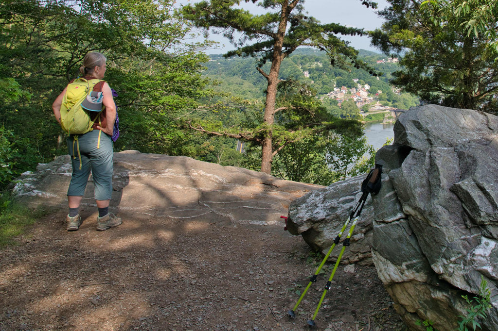
Highlights: Appalachian Trail, Harpers Ferry historic district, great views Distance: 4.5 miles out and back Elevation change: 1,350 feet Difficulty level: Moderate/strenuous Trailhead Parking: Lower Town Information Center, Harpers Ferry WV, park fee required Website: Harpers Ferry National Historical Park Beer Pairings: Smoketown Brewing—My Best Girl DIPA & Angler’s Mid Atlantic Steam IPA The Hike:

Maryland Heights Read More »

Loudon Heights

Highlights: Appalachian Trail, historic district, great views, wildflowers, wildlife Distance: 7.8 miles out and back Elevation change: 2,278 feet Difficulty level: Strenuous Trailhead Parking: Lower Town Information Center, Harpers Ferry WV, park fee required Website: Harpers Ferry National Historical Park Beer Pairings: Harpers Ferry Brewing—Shenandoah Stout & Needles IPA The Hike: This hike begins with

Loudon Heights Read More »

Natural Bridge & Cedar Creek Trail

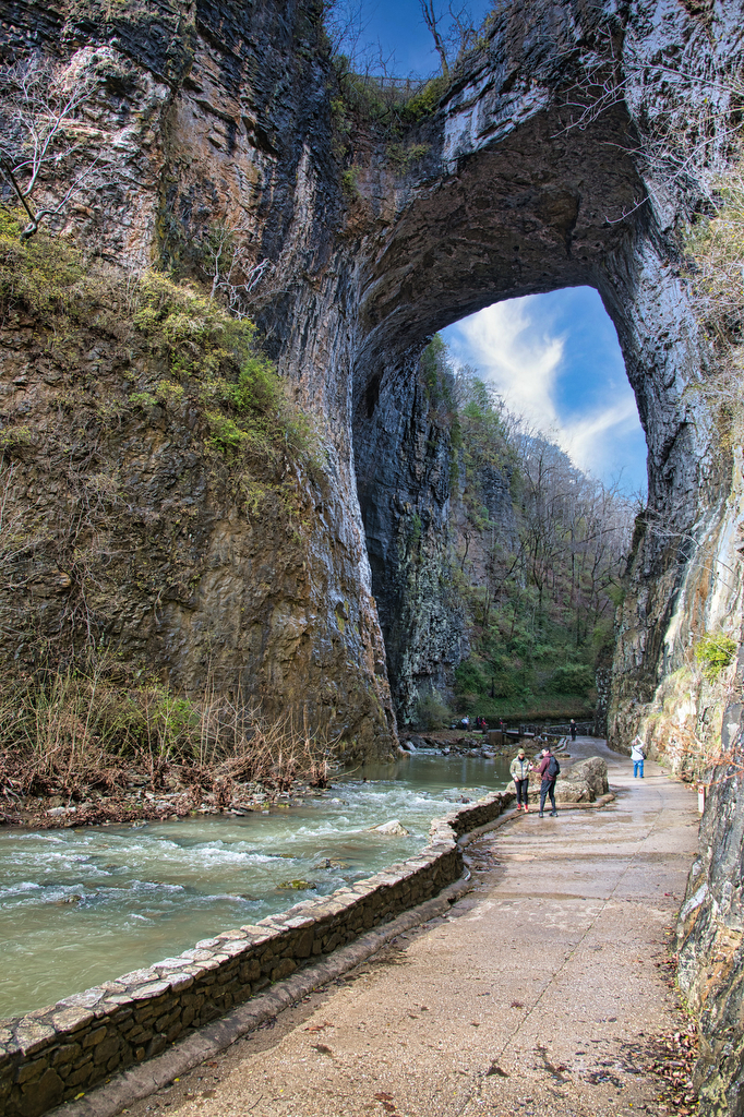
Highlights: Natural bridge, waterfall Distance: 2 miles out and back Elevation change: 387 feet Difficulty level: Easy Trailhead Parking: Visitor Center, 6477 South Lee Highway, Natural Bridge, VA Website: Natural Bridge State Park  Beer Pairings: Great Valley Farm Brewery—IPA & Coffee Stout The Hike: This easy hike is more of a stroll through the woods

Natural Bridge & Cedar Creek Trail Read More »

Whiteoak Canyon & Cedar Run Falls Loop

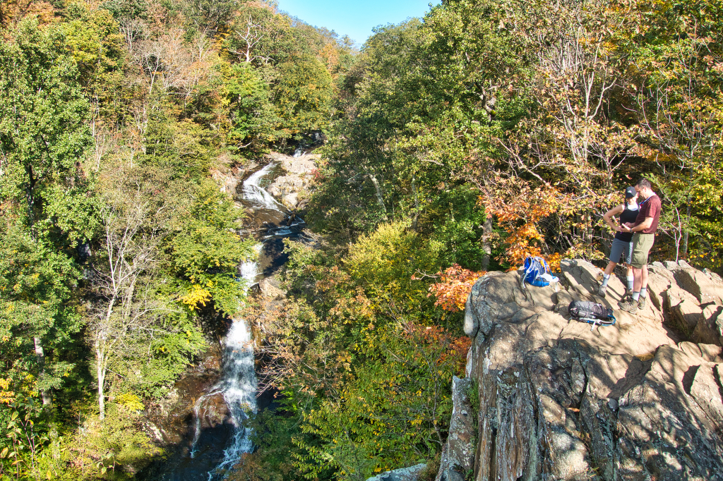
Highlights: Waterfalls, mountains, Shenandoah National Park, stream crossings Distance:  7.3 mile loop (many sources, including our GPS, show this hike to be about 9 miles) Elevation change: 2,743 feet Difficulty level: Very Strenuous Trailhead Parking: Boundary Trailhead on route 600 near Syria (see link below) or Skyline Drive mile 45.6 Website: National Park Service Beer

Whiteoak Canyon & Cedar Run Falls Loop Read More »

Sandy Mush Bald

Highlights: bald summit, wildflowers, wildlife, great views, hike-in lodge Distance:  6.6 mile out and back Elevation change: 1,850 feet Difficulty level: Difficult Trailhead Parking: 19001 NC-209 Hot Springs, NC Website: Cabins at Sandy Mush Bald Beer Pairings: Asheville Brewing Company Perfect Day IPA and 828 pale ale The Hike: Sandy Mush Bald was one of the

Sandy Mush Bald Read More »

Max Patch

Highlights: mountain views, bald summit, Appalachian Trail Distance:  1.5 mile loop Elevation change:  288 feet Difficulty level: Easy Trailhead Parking: NC State Route 1182 near Hot Springs NC. See link below for directions. The parking area is small with room for about 15 vehicles. Website: US Forest Service Beer Pairings: Wicked Weed Brewing Pernicious IPA

Max Patch Read More »

Humpback Rocks

Highlights: mountain views, rocky summit, Appalachian Trail Distance:  3.8 out and back Elevation change:  1,120 feet Difficulty level: Moderate/Strenuous Trailhead Parking: Visitor Center, Blue Ridge Parkway mile 5.8 Website: National Park Service Beer Pairings: Pro Re Nata Brewery, Crozet VA Hop Drone IPA & Tapped Out pilsner The Hike: This popular hike can be crowded

Humpback Rocks Read More »

Buzzard Rock via the Appalachian Trail

Highlights: mountain views, bald summit, Appalachian Trail Distance:  7.2 mile loop Elevation change:  1,270 feet Difficulty level: Moderate/Strenuous Trailhead Parking: Elk Garden Trailhead parking on route 600/Whitetop Road near Troutville VA Website: AllTrails  Beer Pairings: 7 Dogs Brewpub-High Bridge pale ale & Scottish 80 The Hike: Even though this hike is over 7 miles and has

Buzzard Rock via the Appalachian Trail Read More »