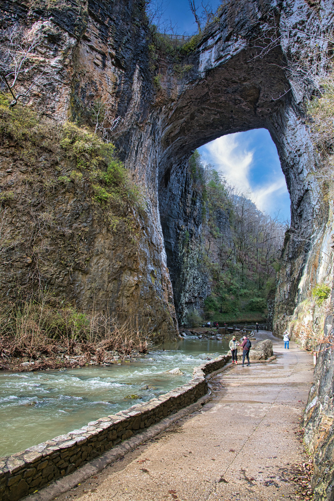
Natural Bridge & Cedar Creek Trail
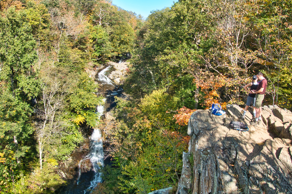
Highlights: Natural bridge, waterfall Distance: 2 miles out and back Elevation change: 387 feet Difficulty level: Easy Trailhead Parking: Visitor Center, 6477 South Lee Highway, Natural Bridge, VA Website: Natural Bridge State Park Beer Pairings: Great Valley Farm Brewery—IPA & Coffee Stout The Hike: This easy hike is more of a stroll through the woods […]
Natural Bridge & Cedar Creek Trail Read More »