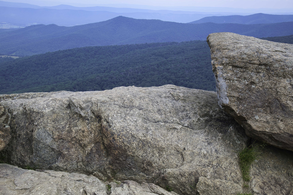
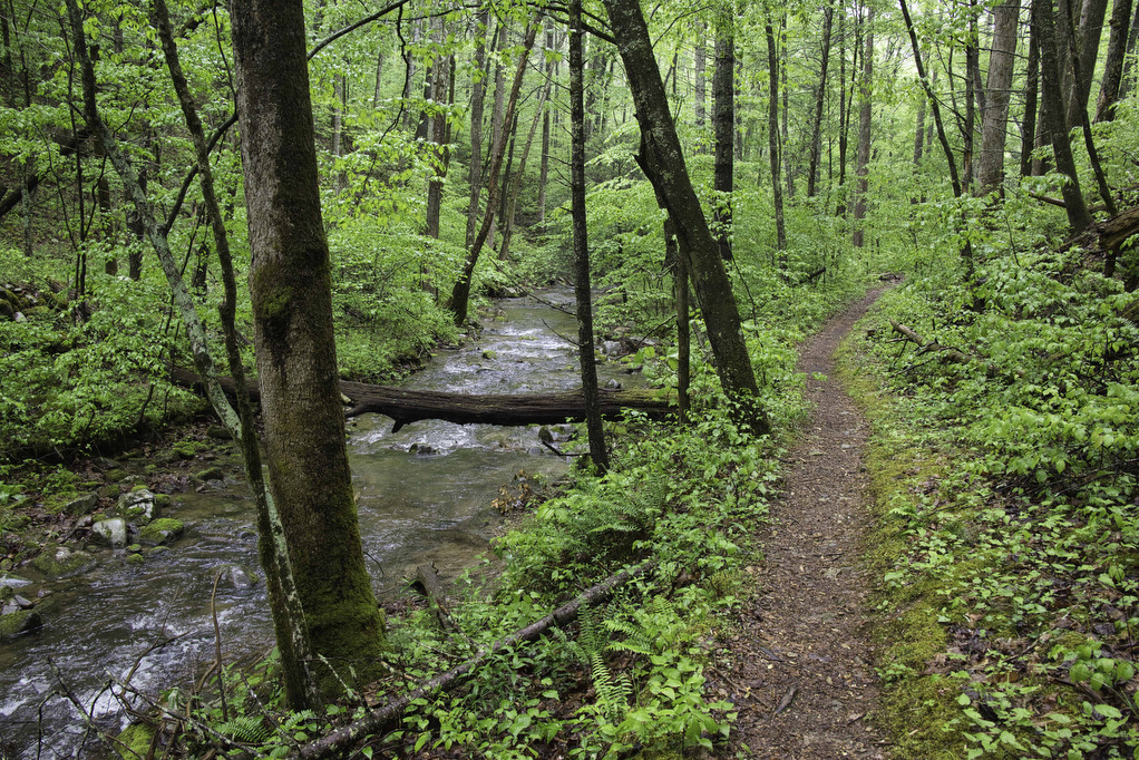
Appalachian Trail

Angel’s Rest

Highlights: Appalachian Trail, 2 great views Distance: 5.0 miles out and back Elevation Change: 1,840 feet Trail Surface: Rocky Difficulty Level: Moderate/strenuous (rocky surface, elevation gain) Trailhead Parking: AT Trailhead, Cross Avenue, route 793 Pearisburg VA. From Blacksburg take US 460 west to route 100 south, right on Johnston Ave., first right on route 793, […]

Angel’s Rest Read More »

Mary’s Rock AT North

Highlights: Appalachian Trail, amazing views, mountain laurel in June Distance: 3.7 miles out and back Elevation Change: 1,210 feet Trail Surface: Very rocky Difficulty Level: Moderate (rocky surface, elevation gain) Trailhead Parking: Panorama parking area, Skyline Drive MP 31.5; park entrance fee required Website: Shenandoah National Park and AllTrails Beer Pairings: Hawksbill Brewery—Hooray for Luray

Mary’s Rock AT North Read More »

Bluff Mountain

Highlights: Views, Appalachian Trail, wildflowers Distance: 4.2 miles out and back Elevation Change: 1,284 feet Trail Surface: Dirt with several rocky sections Difficulty Level: Moderate (elevation)  Trailhead Parking: Punchbowl Mountain Overlook, Blue Ridge Parkway mile post 51.7 Website: AllTrails Beer Pairings: Heliotrope Brewery—Neahkahnie IPA & Quotidan Pils The Hike: Bluff Mountain is located on the

Bluff Mountain Read More »

Long Mountain to Pedlar Lake

Highlights: Appalachian Trail shelter, Brown Mt. Creek, Pedlar Lake Distance: 10.3 miles miles out and back Elevation Change: 1,467 feet Trail Surface: Dirt with several rocky sections and stream crossings Difficulty Level: Strenuous (distance, elevation, multiple stream crossings)  Trailhead Parking: Long Mountain Wayside, US route 60, 10 miles east of Buena Vista VA  Website: AllTrails

Long Mountain to Pedlar Lake Read More »

Big Devil Stairs

Highlights: AT shelter, mountain and gorge views Distance: 7.5 miles out and back Elevation change: 1,237 feet Difficulty level: Strenuous Trailhead Parking: Keyser Run parking area, Skyline Drive mile post 19.4, park entrance fee required Website: AllTrails Beer Pairings: Tap 29—Are We There Yet? IPA & Pit Stop Pilsner The Hike: Big Devil Stairs is

Big Devil Stairs Read More »

Dobie Mountain & Jack Albright Loop

Highlights: AT shelter,streams, mountain views Distance: 6.7 mile loop Elevation change: 1,301 feet Difficulty level: Moderate/strenuous Trailhead Parking: Humpback Rocks Parking Area, Blue Ridge Parkway, mile post 6 Website: National Park Service and AllTrails Beer Pairings: Basic City 6th Lord IPA & Brother’s Skyline Falls IPA The Hike: This hike begins at the Humpback Rocks

Dobie Mountain & Jack Albright Loop Read More »

Bearfence Rock Scramble

Highlights: Fantastic views, rock scramble, Appalachian Trail Distance: 1.1 mile loop Elevation change: 217 feet Difficulty level: Moderate with rock scramble, easy without the scramble Trailhead Parking: Skyline Drive Bearfence Trailhead parking area mile 56.4, park fee required Website: Shenandoah National Park Beer Pairings: Octonia Stone Brew Works—Rokuhnite Me Amadeus lager & Worth One’s Basalt

Bearfence Rock Scramble Read More »

South River Falls Loop

Highlights: Waterfalls, wildflowers, Appalachian Trail Distance: 4.9 mile loop Elevation change: 1,081 feet Difficulty level: Moderate Trailhead Parking: Skyline Drive South River Picnic Area mile post 63, park fee required. Park near the rest rooms at the far end of the picnic grounds. Website: Shenandoah National Park Beer Pairings: Patch Brewing Co.—Home Field Advantage porter

South River Falls Loop Read More »

Crabtree Falls to The Priest

Highlights: Views, wildflowers, wildlife, waterfalls, Appalachian Trail Distance: 10.5 miles out and back Elevation change: 2,570 feet Difficulty level: Strenuous Trailhead Parking: Crabtree Falls Trailhead parking area, Route 56, Tyro VA, $3 parking fee Website: AllTrails Beer Pairings: Blue Mountain Barrel House—Red Zeppelin Red IPA & Classic Lager The Hike: The Priest is a famous

Crabtree Falls to The Priest Read More »

Thornton River Loop

Highlights: Appalachian Trail, stream crossings, wildflowers, history Distance: 7.8 miles loop Elevation change: 1,780 feet Difficulty level: Strenuous Trailhead Parking: Skyline Drive Thornton River Trailhead parking area mile 25.4, park fee required Website: AllTrails Beer Pairings: Iron Pipe Aleworks—Shapeshifter IPA & Gandalf the Haze IPA  The Hike: This hike doesn’t have amazing views or spectacular

Thornton River Loop Read More »