Long > 6 Miles

Big Branch Falls via Moorman’s River Trail

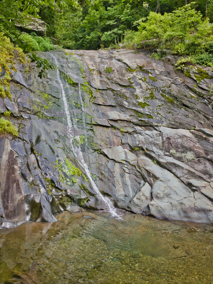
Highlights: Waterfall, stream crossing, wildlife, Shenandoah National Park Distance: 7.0 miles out and back Elevation change: 1,150 feet Difficulty level: Moderate Trailhead Parking: Blackrock Gap parking area, Skyline Drive mile 87.4 Website: Shenandoah National Park Beer Pairings: Center of the Universe Brewery—Pocahoptas IPA & Slingshot Kölsch The Hike: This hike is a great way to […]

Big Branch Falls via Moorman’s River Trail Read More »

Caledon State Park Loop

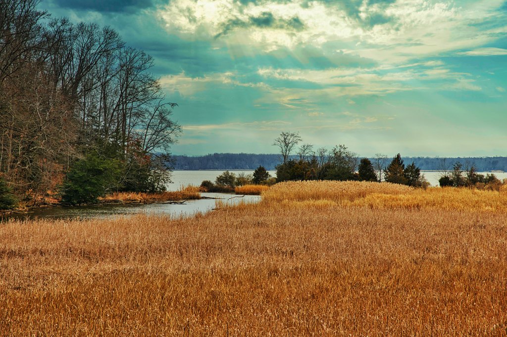
Highlights: River views, wildlife, birdwatching Distance:  7.1 mile loop Elevation change: 426 feet Difficulty level: Moderate Trailhead Parking: 11617 Caledon Road, King George VA Website: Caledon State Park Beer Pairings: Colonial Beach Brewery, Beach Brew-nette & Monroe Bay IPA The Hike: Caledon became a Virginia State Park in 2012, but its history goes back to

Caledon State Park Loop Read More »

Bear Church Rock via Bootens Gap

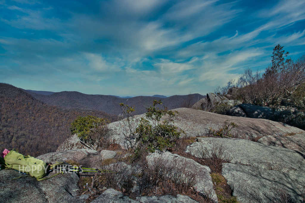
Highlights: Shenandoah National Park, wilderness views, wildflowers Distance:  9.4 mile out and back  Elevation change: 1,800 feet Difficulty level: Strenuous Trailhead Parking: Skyline Drive, mile 55.1, Bootens Gap parking area Website: Virginia Trail Guide Beer Pairings: Cave Hill Farms Brewery: Full Mane IPA & Hoppy Gator IPA The Hike: We were looking for a longer

Bear Church Rock via Bootens Gap Read More »

Whiteoak Canyon & Cedar Run Falls Loop

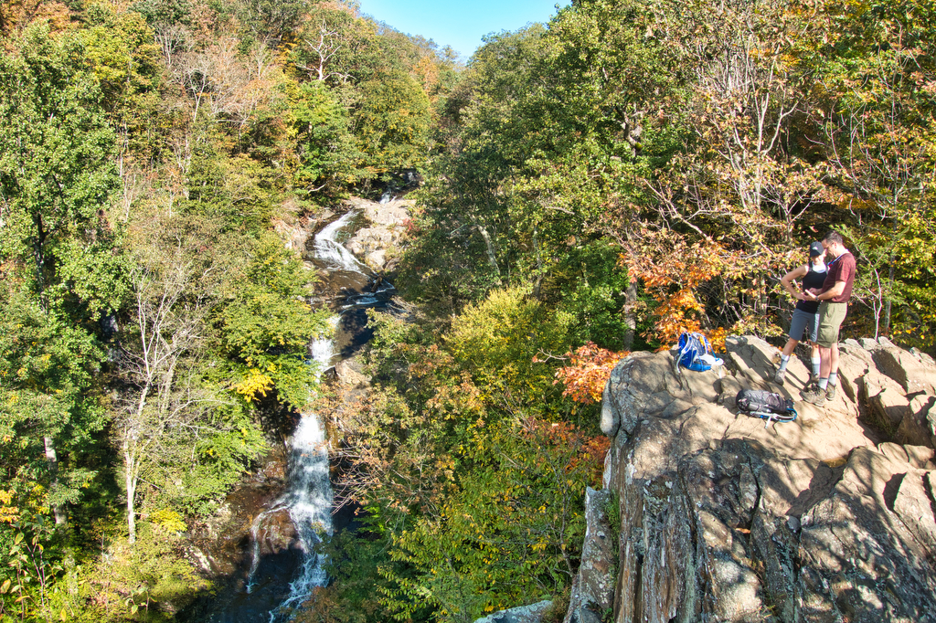
Highlights: Waterfalls, mountains, Shenandoah National Park, stream crossings Distance:  7.3 mile loop (many sources, including our GPS, show this hike to be about 9 miles) Elevation change: 2,743 feet Difficulty level: Very Strenuous Trailhead Parking: Boundary Trailhead on route 600 near Syria (see link below) or Skyline Drive mile 45.6 Website: National Park Service Beer

Whiteoak Canyon & Cedar Run Falls Loop Read More »

Sandy Mush Bald

Highlights: bald summit, wildflowers, wildlife, great views, hike-in lodge Distance:  6.6 mile out and back Elevation change: 1,850 feet Difficulty level: Difficult Trailhead Parking: 19001 NC-209 Hot Springs, NC Website: Cabins at Sandy Mush Bald Beer Pairings: Asheville Brewing Company Perfect Day IPA and 828 pale ale The Hike: Sandy Mush Bald was one of the

Sandy Mush Bald Read More »

Mount Rogers

Highlights: wild ponies, wildflowers, wildlife, great views, highest peak in Virginia Distance:  8.9 mile loop Elevation change: 1,300 feet Difficulty level: Moderate/difficult Trailhead Parking: Grayson Highland State Park, Massie Gap parking area; park fee required Website: Grayson Highland State Park Trail Guide Beer Pairings: South Street Brewery Satan’s Pony The Hike: At a height of

Mount Rogers Read More »

Twin Arches and Slave Falls Loop

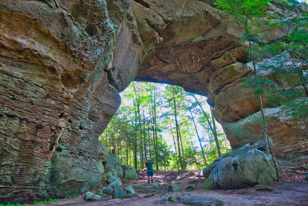
Highlights: sandstone arches, waterfall, cliffs, forest, wildlife Distance:  14.1 mile loop Elevation change:  2,035 feet Difficulty level: Difficult Trailhead Parking: Twin Arches Road, Great South Fork National Recreation Area, Jamestown TN; see link below for more information.   Website: National Park Service Beer Pairings: Wiseacre Brewing Company, Tiny Bomb pilsner & Ananda IPA The Hike:

Twin Arches and Slave Falls Loop Read More »

The Great Channels

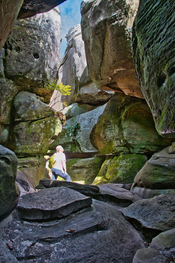
Highlights: amazing rock formations, slot-canyon rock maze, wildflowers  Distance:  6 mile out and back Elevation change:  1,280 feet Difficulty level: Moderate Trailhead Parking: Hayter’s Gap, route 80 Saltville VA. Note the parking area is very small and has spaces for just 10 vehicles. Parking on route 80 is not permitted.  Website: Virginia Dept. of Forestry 

The Great Channels Read More »

Buzzard Rock via the Appalachian Trail

Highlights: mountain views, bald summit, Appalachian Trail Distance:  7.2 mile loop Elevation change:  1,270 feet Difficulty level: Moderate/Strenuous Trailhead Parking: Elk Garden Trailhead parking on route 600/Whitetop Road near Troutville VA Website: AllTrails  Beer Pairings: 7 Dogs Brewpub-High Bridge pale ale & Scottish 80 The Hike: Even though this hike is over 7 miles and has

Buzzard Rock via the Appalachian Trail Read More »

Old Rag from Berry Hollow

Highlights: Classic hike, scramble, great views Distance: 9.4 mile loop or 5.4 mile out and back (without the scramble) Elevation change: 2,348 or 1,760 (without the scramble) Difficulty level: hard Website: Shenandoah National Park Parking: Trail map with parking options Beer pairings: Hopkins Ordinary-Innkeepers’ IPA and Second Breakfast Stout The Hike: This is one of

Old Rag from Berry Hollow Read More »