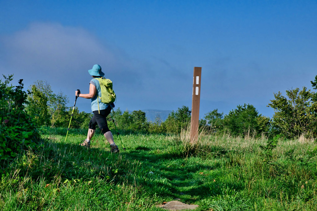
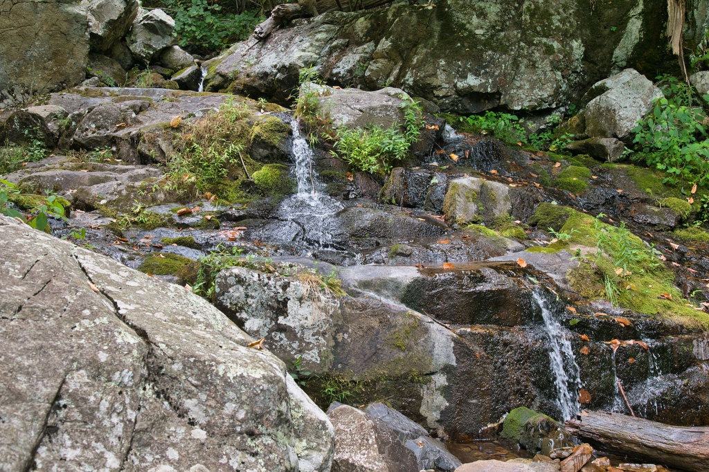
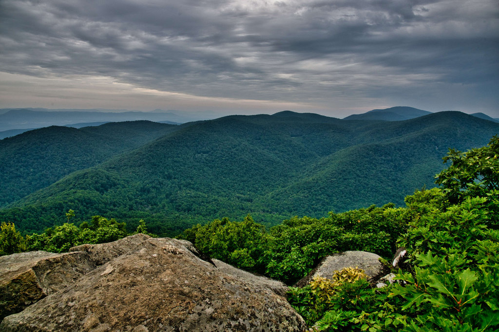
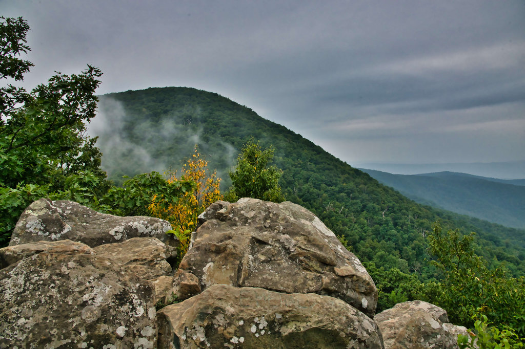
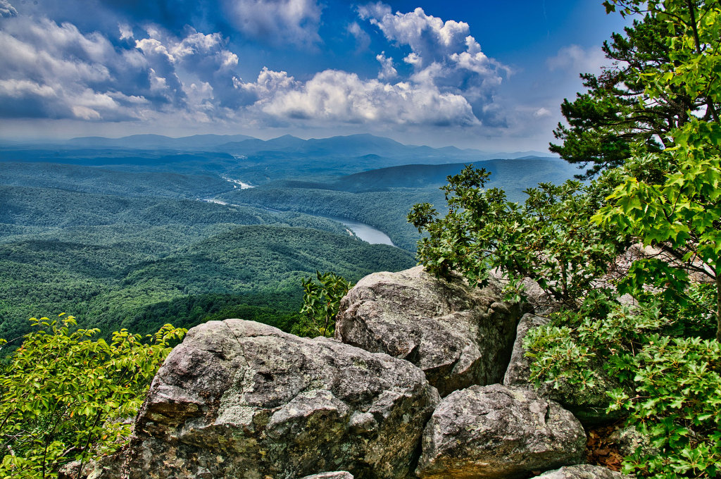
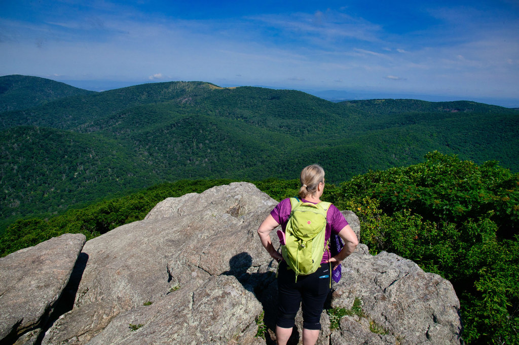
Lewis Falls & Blackrock
Highlights: Waterfalls, views, wildflowers, wildlife Distance: 3.3 mile loop Elevation change: 990 feet Difficulty level: Moderate Trailhead Parking: Big Meadows Lodge parking area, Skyline Drive mile 51, park fee required Website: Shenandoah National Park Beer Pairings: Big Meadows Lodge—Fresh Squeezed IPA by Deschutes Brewery & Amber Lager by Skipping Rock Beer Co. The Hike: This […]
Lewis Falls & Blackrock Read More »