Mountains

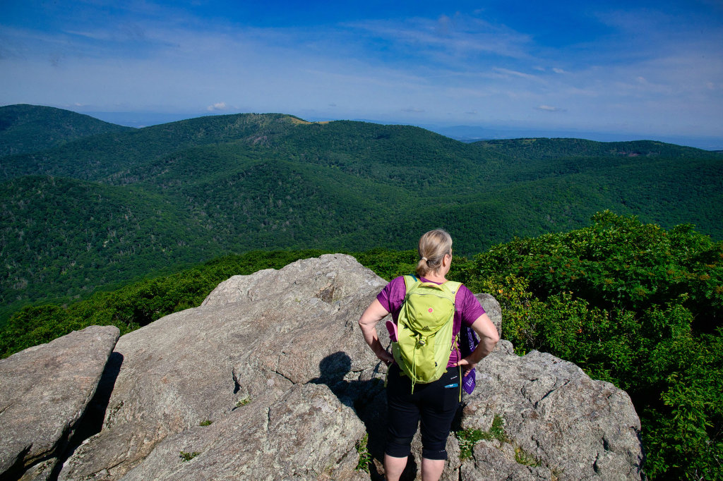
Mount Pleasant Loop

Highlights: Great views, rocky summit, stream crossings, wildflowers, wildlife Distance: 6.0 mile loop Elevation change: 1,270 feet Difficulty level: Strenuous Trailhead Parking: Wiggins Springs Road, route 755, becomes Hog Camp Gap Road (Fire Road 48). Continue past the first parking area at Hog Camp Gap for .25 miles. Bear right park near the trailhead kiosk, […]

Mount Pleasant Loop Read More »

Cole Mountain Loop

Highlights: Appalachian Trail, bald summit, great views, wildflowers, wildlife Distance: 6.1 mile loop Elevation change: 1,200 feet Difficulty level: Strenuous Trailhead Parking: Wiggins Springs Road (route 755) becomes Hog Camp Gap Road (Fire Road 48), parking at the AT crossing at Hog Camp Gap. For additional parking, continue past Hog Camp Gap for .25 miles

Cole Mountain Loop Read More »

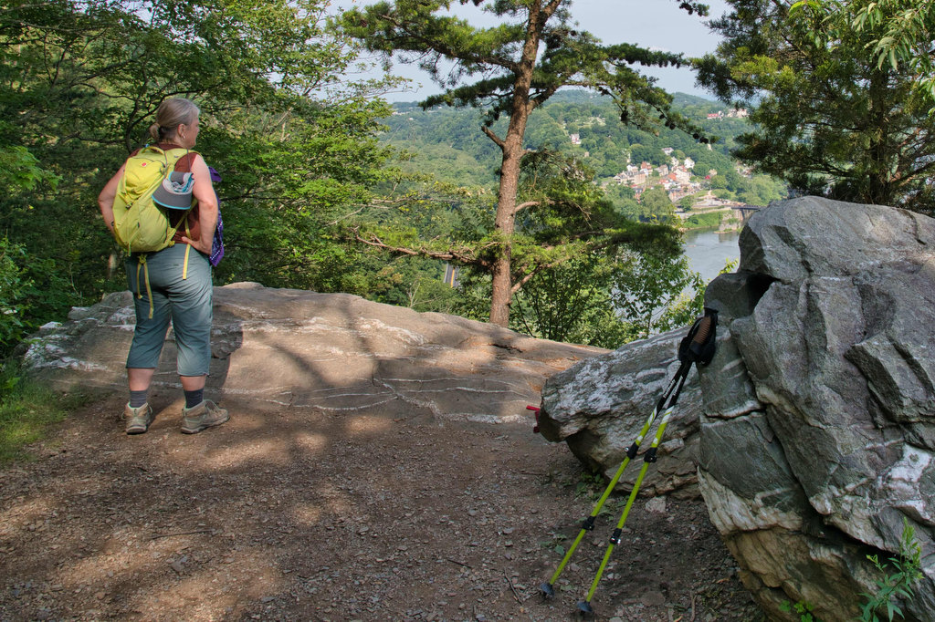
Maryland Heights

Highlights: Appalachian Trail, Harpers Ferry historic district, great views Distance: 4.5 miles out and back Elevation change: 1,350 feet Difficulty level: Moderate/strenuous Trailhead Parking: Lower Town Information Center, Harpers Ferry WV, park fee required Website: Harpers Ferry National Historical Park Beer Pairings: Smoketown Brewing—My Best Girl DIPA & Angler’s Mid Atlantic Steam IPA The Hike:

Maryland Heights Read More »

Loudon Heights

Highlights: Appalachian Trail, historic district, great views, wildflowers, wildlife Distance: 7.8 miles out and back Elevation change: 2,278 feet Difficulty level: Strenuous Trailhead Parking: Lower Town Information Center, Harpers Ferry WV, park fee required Website: Harpers Ferry National Historical Park Beer Pairings: Harpers Ferry Brewing—Shenandoah Stout & Needles IPA The Hike: This hike begins with

Loudon Heights Read More »

Riprap/Wildcat Ridge Loop

Highlights: Waterfalls, wildflowers, stream crossings, Appalachian Trail, rock formations, wildlife, views, swimming hole Distance: 9.8 mile loop Elevation change: 2,365 feet Difficulty level: Strenuous Trailhead Parking: Riprap parking area, Skyline Drive mile 90, park fee required Website: Shenandoah National Park Beer Pairings: Basic City Brewing—Our Daily Pils & Tropicos #008 IPA The Hike: This hike

Riprap/Wildcat Ridge Loop Read More »

Sintra Palace and Castle Loop

Highlights: views, Pena Palace, Villa Sassetti, and Moorish castle Distance: 2.6 mile loop Elevation change: 1,025’ Difficulty level: Moderate Trailhead Parking: Sintra Portugal, Estrada de Pena near the Moorish Fountain Website: Sintra Parks Beer Pairings: Lord Byron Pub—Super Bock & Sagres The Hike: For our European friends (and others lucky enough to visit Portugal) this

Sintra Palace and Castle Loop Read More »

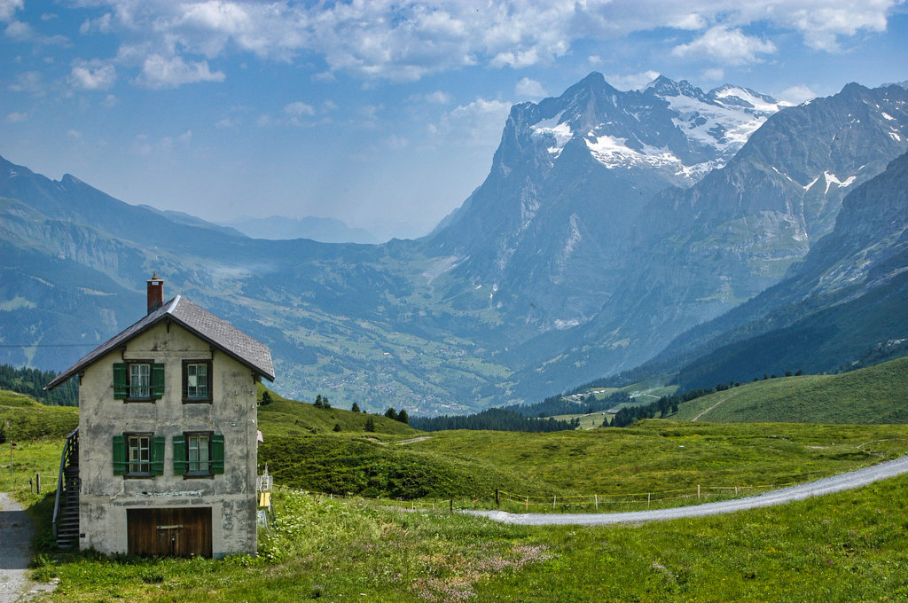
Männlichen to Wengernalp in the Swiss Alps

Highlights: Swiss Alps, amazing views Distance: 4.1 miles one way, requires train connections Elevation change: 1,100 feet mostly downhill Difficulty level: Easy/Moderate Trailhead: Wengen-Männlichen lift station Website: My Swiss Alps and part 2 Beer Pairings: Feldschlösschen—Original Lager The Hike: Several of our recent posts were for some of our favorite hikes in the American southwest.

Männlichen to Wengernalp in the Swiss Alps Read More »

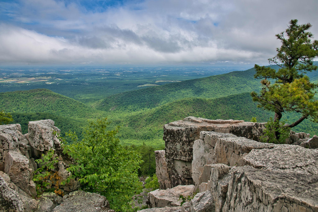
Breaks Interstate Park Loop

Highlights: Great views, wildlife, wildflowers, rock formations Distance: 3.6 mile loop Elevation change: 380 feet Difficulty level: Moderate Trailhead Parking: Commission Circle (route 702) to Picnic Shelter # 2 parking area Website: Breaks Interstate Park Beer Pairings: Adventure Brewery—Expedition IPA and Rod & Reel Pilsner The Hike: Breaks Interstate Park is called “the Grand Canyon

Breaks Interstate Park Loop Read More »

Robertson Mountain

Highlights: Great views, wildlife, wildflowers Distance: 7 miles out and back Elevation change: 1,320 feet Difficulty level: Moderate/Strenuous Trailhead Parking: Limberlost parking area, Skyline Drive mile 43 Website: Shenandoah National Park  Beer Pairings: Skyline Brewery—Jenkins Mountain Brown Ale & Little Devil Imperial Pale Ale The Hike: The summit of Robertson Mountain is 5 feet higher

Robertson Mountain Read More »

Overall Run Falls

Highlights: Waterfalls, great views, wildlife, wildflowers Distance: 5.4 mile loop Elevation change: 1,476 feet Difficulty level: Moderate/Strenuous Trailhead Parking: Mathews Arm Campground registration parking area, Skyline Drive mile 22.2 Website: Shenandoah National Park Beer Pairings: Shotwell Run Brewery—Centennial 5 Cent IPA & Penny Porter The Hike: Overall Run Falls is the highest waterfall in Shenandoah

Overall Run Falls Read More »