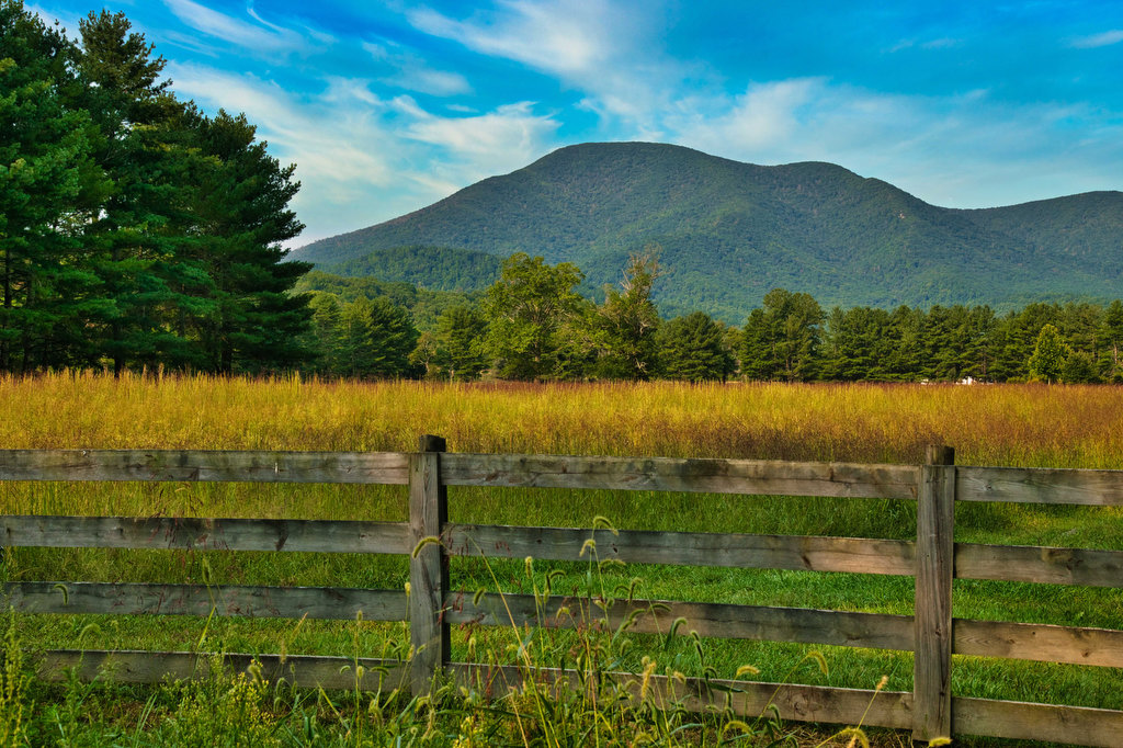
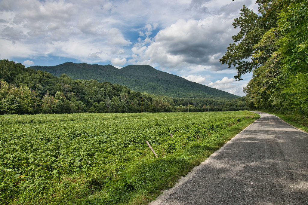
River

Dutch Gap Conservation Area

Highlights: River and lagoon views, birdwatching, wildlife, wildflowers Distance: 5 mile loop Elevation change: 30 feet Difficulty level: Easy/moderate Trailhead Parking: Citie of Henricus parking area,  341 Henricus Park Road, Chester VA Website: Chesterfield County Beer Pairings: Molly’s Blind Dog Brewery—Charlie’s Brown Ale & Train Wreck IPA The Hike: Dutch Gap is a nearly 800 […]

Dutch Gap Conservation Area Read More »

Three Ridges: Reeds Gap to Tye River

Highlights: Great views, Appalachian Trail, wildflowers, stream crossings Distance: 10.8 miles one way Elevation change: 2,231 feet Difficulty level: Strenuous Trailhead Parking: Reeds (Reids) Gap, Beech Grove Road, route 664 and Blue Ridge Parkway Website: AllTrails Beer Pairings: Wild Wolf Brewery—Nelsonite Brown Ale & Notorious H.O.P. IPA The Hike: Several of our friends have hiked

Three Ridges: Reeds Gap to Tye River Read More »

York River State Park

Highlights: River and marsh views, birdwatching, wildflowers Distance: 6.7 miles out and back Elevation change: 257 feet Difficulty level: Moderate Trailhead Parking: York River State Park Visitor Center, 9801 York River Park Rd., Williamsburg, VA park fee required  Website: York River State Park Beer Pairings: Talleysville Brewing Co.—Broken Post Pilsner & Pinch Point APA The

York River State Park Read More »

Windsor Castle Park

Highlights: Historic buildings, wildlife, birdwatching, creek and marsh views Distance: 4.1 miles loop Elevation change: 64 feet Difficulty level: Easy Trailhead Parking: Dan Smith Drive parking area, Smithfield VA Website: Windsor Castle Park Beer Pairings: Wharf Hill Brewing—Holy Brale brown ale & Outage IPA The Hike: Windsor Castle Farm in Smithfield was originally part of

Windsor Castle Park Read More »

Rocky Row on the AT

Highlights: Great views, Appalachian Trail, stream crossings, wildflowers, wildlife Distance: 10.1 miles out and back Elevation change: 2,461 feet Difficulty level: Very strenuous Trailhead Parking: James River Footbridge/AT trail parking, route 501 near Snowden VA Website: Hiking Upward https://www.hikingupward.com/gwnf/bigrockyrow/ Beer Pairings: Camp Trapezium—New Day Lager & Lucky 46 IPA The Hike: This was a great

Rocky Row on the AT Read More »

Maryland Heights

Highlights: Appalachian Trail, Harpers Ferry historic district, great views Distance: 4.5 miles out and back Elevation change: 1,350 feet Difficulty level: Moderate/strenuous Trailhead Parking: Lower Town Information Center, Harpers Ferry WV, park fee required Website: Harpers Ferry National Historical Park Beer Pairings: Smoketown Brewing—My Best Girl DIPA & Angler’s Mid Atlantic Steam IPA The Hike:

Maryland Heights Read More »

Loudon Heights

Highlights: Appalachian Trail, historic district, great views, wildflowers, wildlife Distance: 7.8 miles out and back Elevation change: 2,278 feet Difficulty level: Strenuous Trailhead Parking: Lower Town Information Center, Harpers Ferry WV, park fee required Website: Harpers Ferry National Historical Park Beer Pairings: Harpers Ferry Brewing—Shenandoah Stout & Needles IPA The Hike: This hike begins with

Loudon Heights Read More »

Billy Goat/C&O Canal Towpath Loop

Highlights: Waterfalls, rock scrambles, river views Distance: 4.9 mile loop Elevation change: 205 feet Difficulty level: Moderate/Technical Trailhead Parking: Great Falls Tavern Visitor Center, Potomac MD, park fee required Website: C&O Canal National Historical Park Beer Pairings: Old Angler’s Inn—Sam Adams Boston Lager The Hike: The Virginia side of Great Falls has slightly better views,

Billy Goat/C&O Canal Towpath Loop Read More »

Great Falls Virginia Loop

Highlights: Waterfalls, wildflowers, rock formations, wildlife, views Distance: 4.7 mile loop Elevation change: 383 feet Difficulty level: Moderate Trailhead Parking: Great Falls Park Visitor Center, Dominion Drive, Great Falls VA; park fee required Website: Great Falls Park Beer Pairings: Lake Anne Brew House—Reston Red Ale & Live-Work-Play IPA The Hike: The Great Falls of the

Great Falls Virginia Loop Read More »

Riprap/Wildcat Ridge Loop

Highlights: Waterfalls, wildflowers, stream crossings, Appalachian Trail, rock formations, wildlife, views, swimming hole Distance: 9.8 mile loop Elevation change: 2,365 feet Difficulty level: Strenuous Trailhead Parking: Riprap parking area, Skyline Drive mile 90, park fee required Website: Shenandoah National Park Beer Pairings: Basic City Brewing—Our Daily Pils & Tropicos #008 IPA The Hike: This hike

Riprap/Wildcat Ridge Loop Read More »